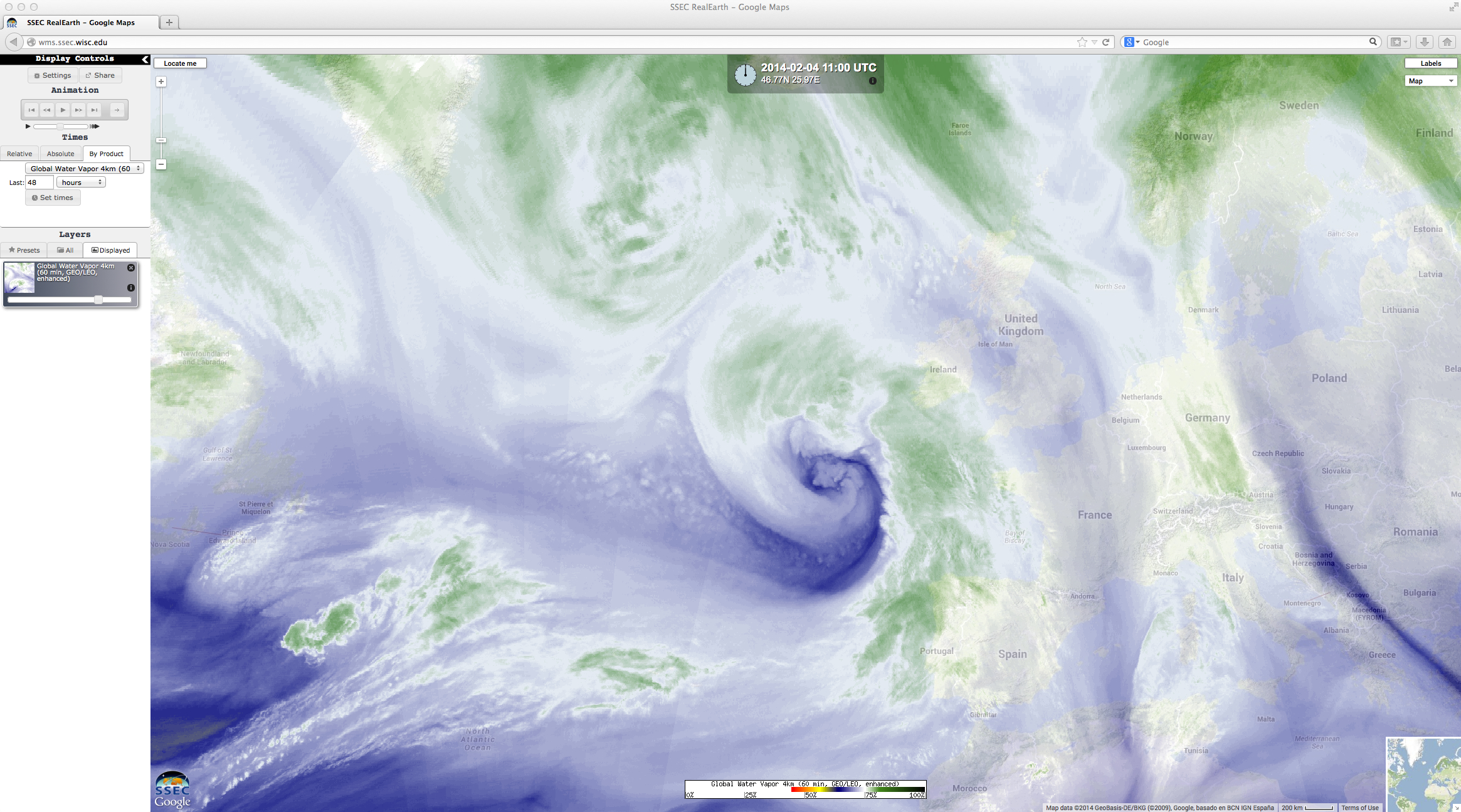
Yet another powerful storm strikes the British Isles
McIDAS images of EUMETSAT Meteosat-10 0.635 µm visible channel data (above; click image to play animation) showed the cloud structure associated with a powerful midlatitude cyclone that was moving northeastward toward the British Isles on 04 February 2014. This storm — the latest in a series of intense North Atlantic Ocean storms to batter the region during the winter of 2013/2014 — produced very strong winds (gusting to 92 mph on the Isle of Scilly), heavy rain, and flooding; power was cut to over 40,000 customers, and rail service was disrupted.
The evolution of the storm could be seen on hourly composites of geostationary and polar-orbiting satellite water vapor channel imagery covering the 03-05 February period (below), visualized using the SSEC RealEarth web map server. As the large storm began to dissipate, another system could be seen developing upstream over the North Atlantic Ocean. Also of note are the subtle wave structures that could be seen in the water vapor imagery downwind of the Azores, caused by strong winds interacting with the high terrain of the islands (the tallest point is Pico, at 2,351 meters or 7,713 ft).


