Ice jam flooding along the Yukon River in Galena, Alaska
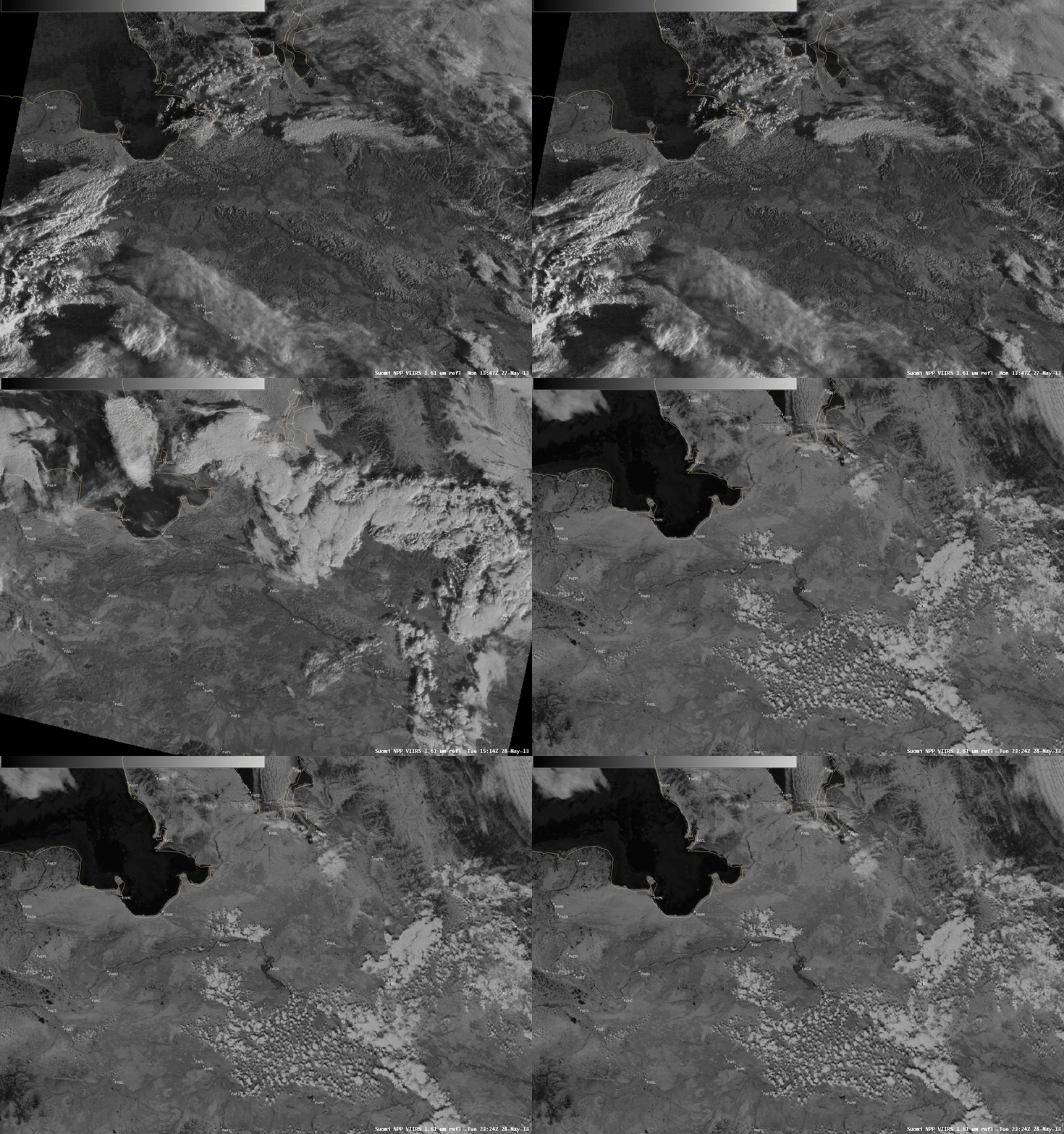
A sequence of AWIPS images of Suomi NPP VIIRS 1.61 µm near-IR “snow/ice discrimination channel” data covering the period from 13:47 UTC on 27 May to 23:24 UTC on 28 May 2013 (above) showed the effects of ice jam flooding along the Yukon River in the vicinity of Galena, Alaska (station identifier PAGA). In addition to snow and ice, water is also a strong absorber at the 1.61 µm near-IR wavelength — so it appears darker on the images. This dark signature of water inundation can be seen increasing in areal coverage during that 1.5 day period. This flooding forced the evacuation of around 300 residents of Galena, as many homes were extensively damaged by the flooding.
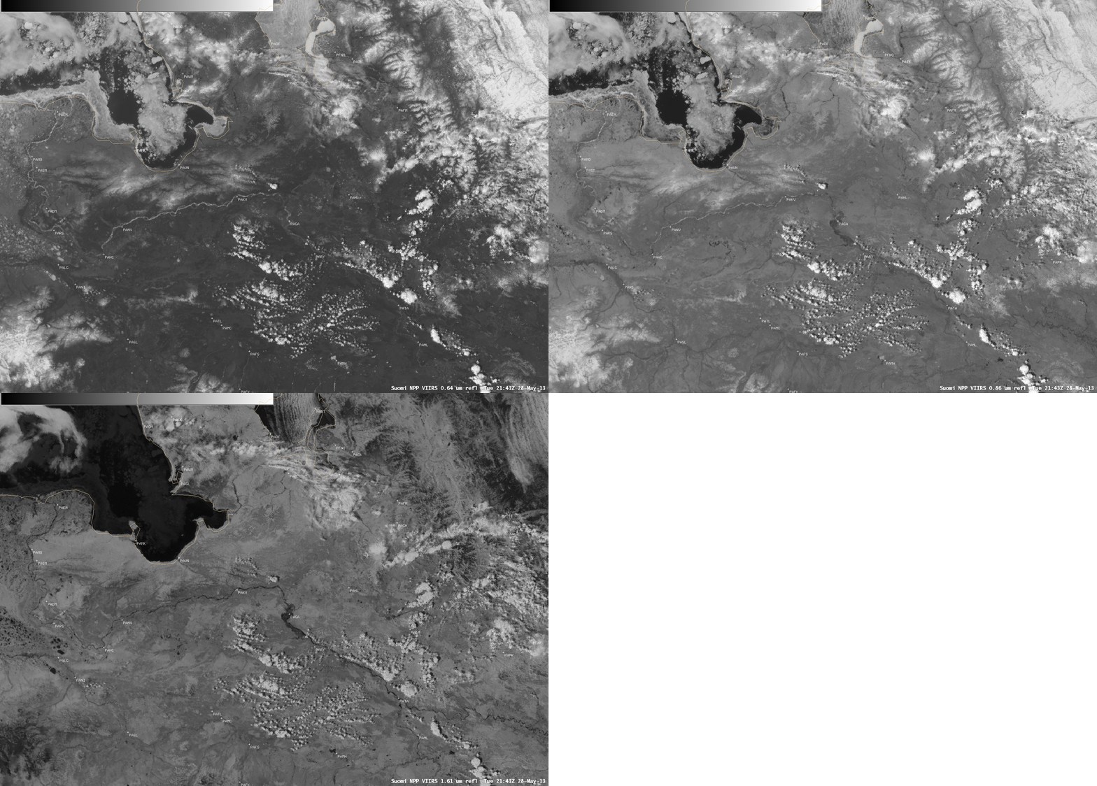
A comparison of Suomi NPP VIIRS 0.64 µm visible channel, 0.86 µm “land/water discrimination channel”, and 1.61 µm “snow/ice discrimination channel” images at 21:43 UTC on 28 May (below) showed that the Yukon River downstream of Galena was still snow/ice covered (appearing brighter white on the 0.64 µm and 0.86 µm images). Meanwhile, the darker signature of floodwaters near and upstream of Galena was evident to some extent on the 0.86 µm image, but was even more pronounced on the 1.61 µm image. The Yukon River ice jam flooding in the Galena area occurred about a week after similar ice jam flooding occurred much farther upstream in the Fort Yukon area.


