Tropical Depression #5 / Tropical Storm Ernesto forms over the central Atlantic
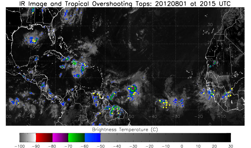
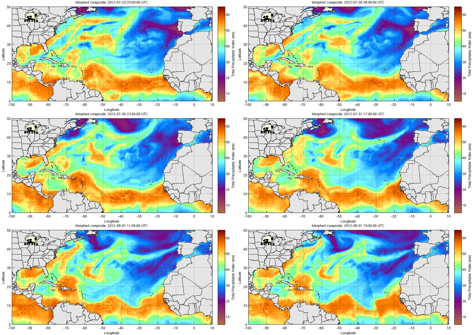
A strong tropical wave near 50 W Longitude in the central Atlantic has become a Tropical Depression. The enhanced infrared image above shows a region of active convection (as signified by the overshooting tops designated by yellow circles) near the center of the system. (Current imagery of overshooting tops can be found here). This convection is aided by abundant moisture as shown in the animation of Total Precipitable Water (TPW), below, taken from the MIMIC TPW website.
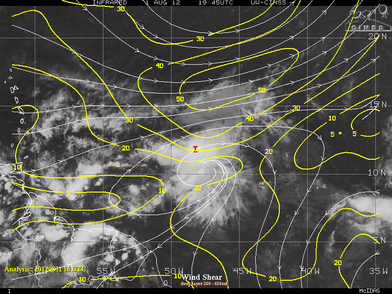
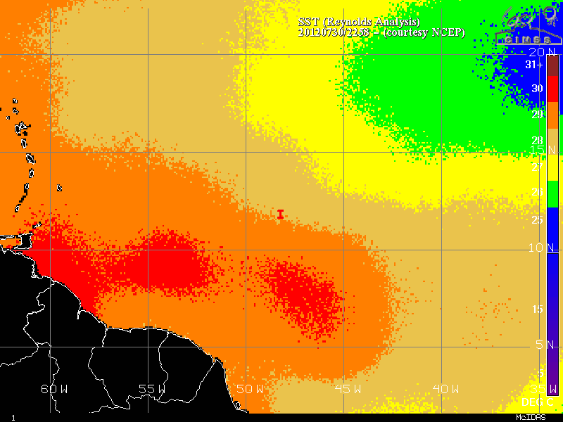
Diagnostics from the CIMSS Tropical Weather Website (below) suggest that an inhibiting factor to rapid strengthening may be wind shear, as analyses show the storm near a region of significant westerly shear. Factors favoring slow intensification are warm sea surface temperatures and a moist surrounding atmosphere.
The National Hurricane Center forecasts slow strengthening. Should the system become a tropical storm, it will take the name Ernesto. The current projected path has the storm in the central Caribbean Sea by the weekend.
===== 02 August Update =====
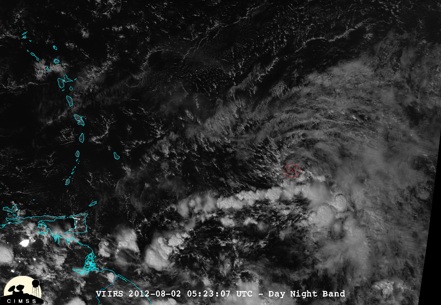
The Suomi NPP VIIRS 0.7 µm Day/Night Band offered a “night-time visible image” of Tropical Depression #5 at 05:23 UTC on 02 August (below; image courtesy of William Straka, CIMSS).
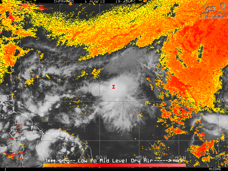
During the afternoon hours, the system was upgraded to Tropical Storm Ernesto. GOES-13 0.63 µm visible channel images (below; click image to play animation) showed that while Ernesto was producing a few convective bursts near its center (IR image animation with tropical overshooting tops product), it was also exhibiting a number of well-defined surface outflow arc clouds along the northern and western periphery of the circulation. This arc cloud signature often indicates that the storm is ingesting dry air which results in the production of dry thunderstorm downdrafts — and Ernesto was both relatively close the the continent of South America, and was surrounded by a dry Saharan Air Layer.


