Learn more about the spatial analysis concepts by working through the following five activities:
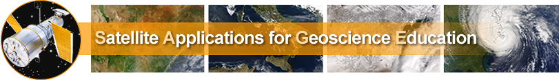
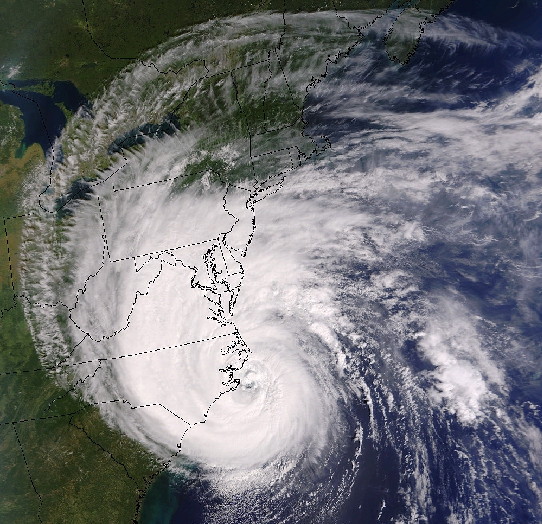
 1. This activity lets you manipulate the resolution of a GOES visible satellite image covering the Pacific ocean and the west coast of the United States by adjusting the number of pixels displayed.
Click on the image to the right to begin the activity.
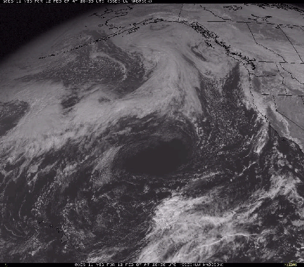
 2. Here is an activity to manipulate the number of pixels in a GOES infrared image over North America.
Click on the image to the right to begin the activity.
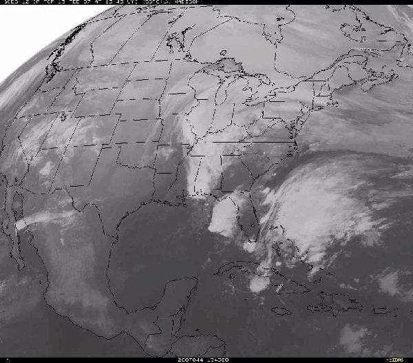
 3. Here is an activity to manipulate the number of pixels in a GOES water vapor image over North America.
Click on the image to the right to begin the activity.
 4. This activity lets you manipulate the resolution of a POES visible satellite image by adjusting the number of pixels displayed.
Click on the image to the right to begin the activity.
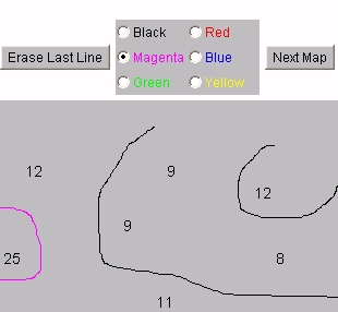 5. This final spatial analysis activity is on contouring. Use your computer mouse to draw lines of equal values (isopleths) to analyze simple plots of data.
Click on the image to the right to begin the activity.