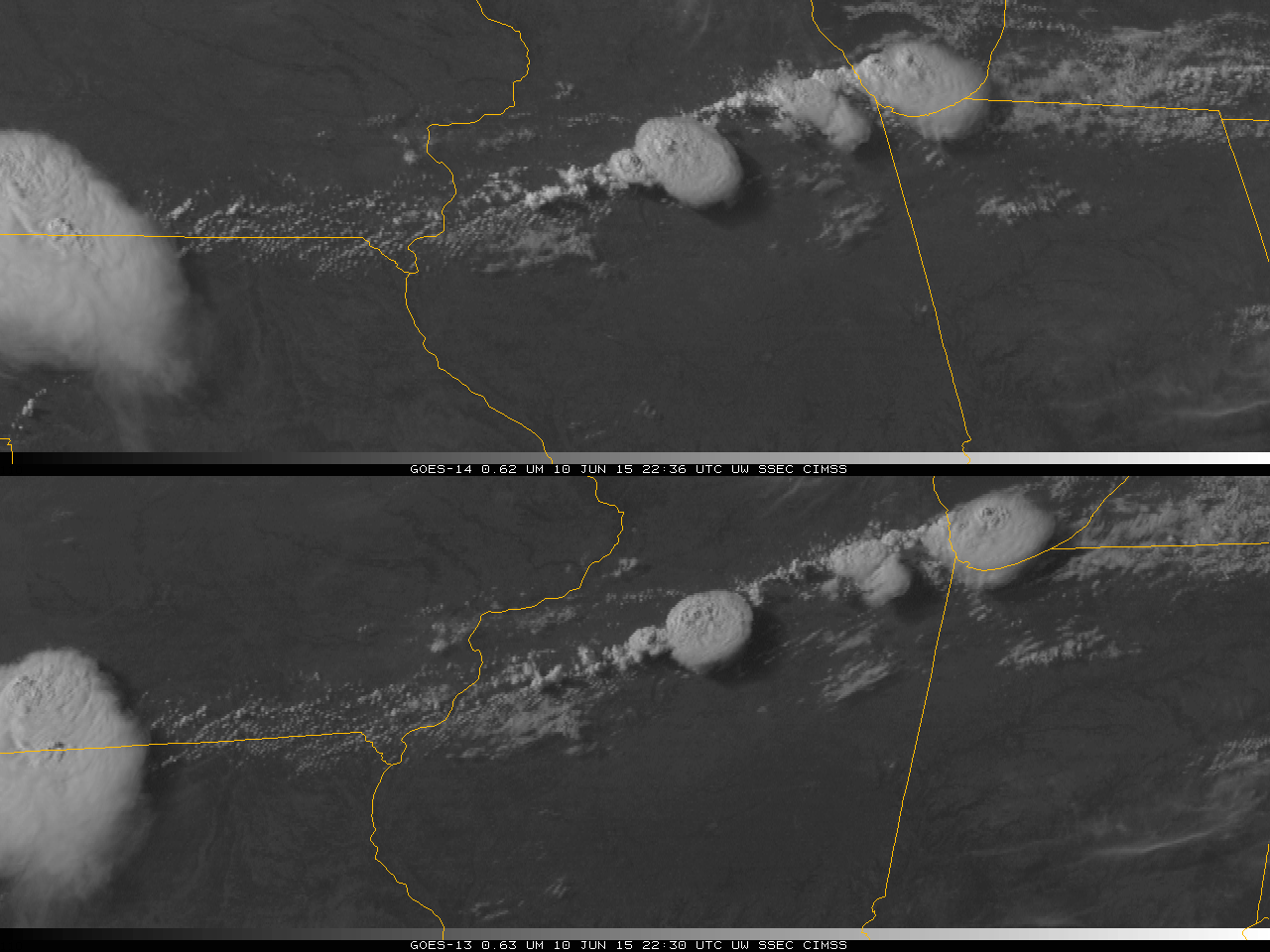
Long-track Tornado over southwestern Manitoba
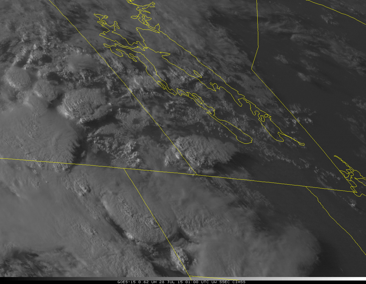
A strong tornado (rated a high-end EF-2) touched down near Pierson, Manitoba at around 0130 UTC on 28 July or 8:30 pm local time on 27 July (Press Report) and persisted until about 0355 UTC or 10:55 pm local time (near Virden Manitoba). The animation above shows GOES-15 (left) and GOES-13 (right) Infrared imagery... Read More
