GOES-14 is briefly brought out of storage
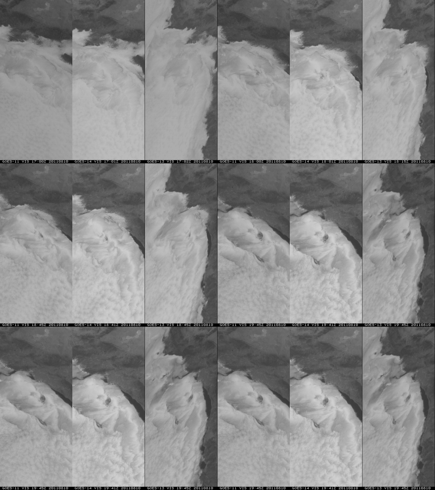
The NOAA GOES-14 satellite (positioned over the Equator at 105º West longitude) was brought out of on-orbit storage for a brief period of testing, beginning on 10 August 2011. A comparison of GOES-11 (GOES-West), GOES-14, and GOES-13 (GOES-East) visible channel images (above) shows the evolution of stratus clouds along the southern California coast and the immediate offshore waters of the Pacific Ocean on 10 August. The images are displayed in the native projection of each GOES satellite, so the cloud features appear slightly different due to the different viewing angles.
On the following day (11 August 2011), multi-panel images show data from all 5 channels of the imager instrument on the GOES-11, GOES-14, and GOES-13 satellites (below). Note that the older GOES-11 imager is the last operational GOES to have the 12.0 µm IR channel — this channel was replaced by the 13.3 µm IR channel on GOES-12 through GOES-15.
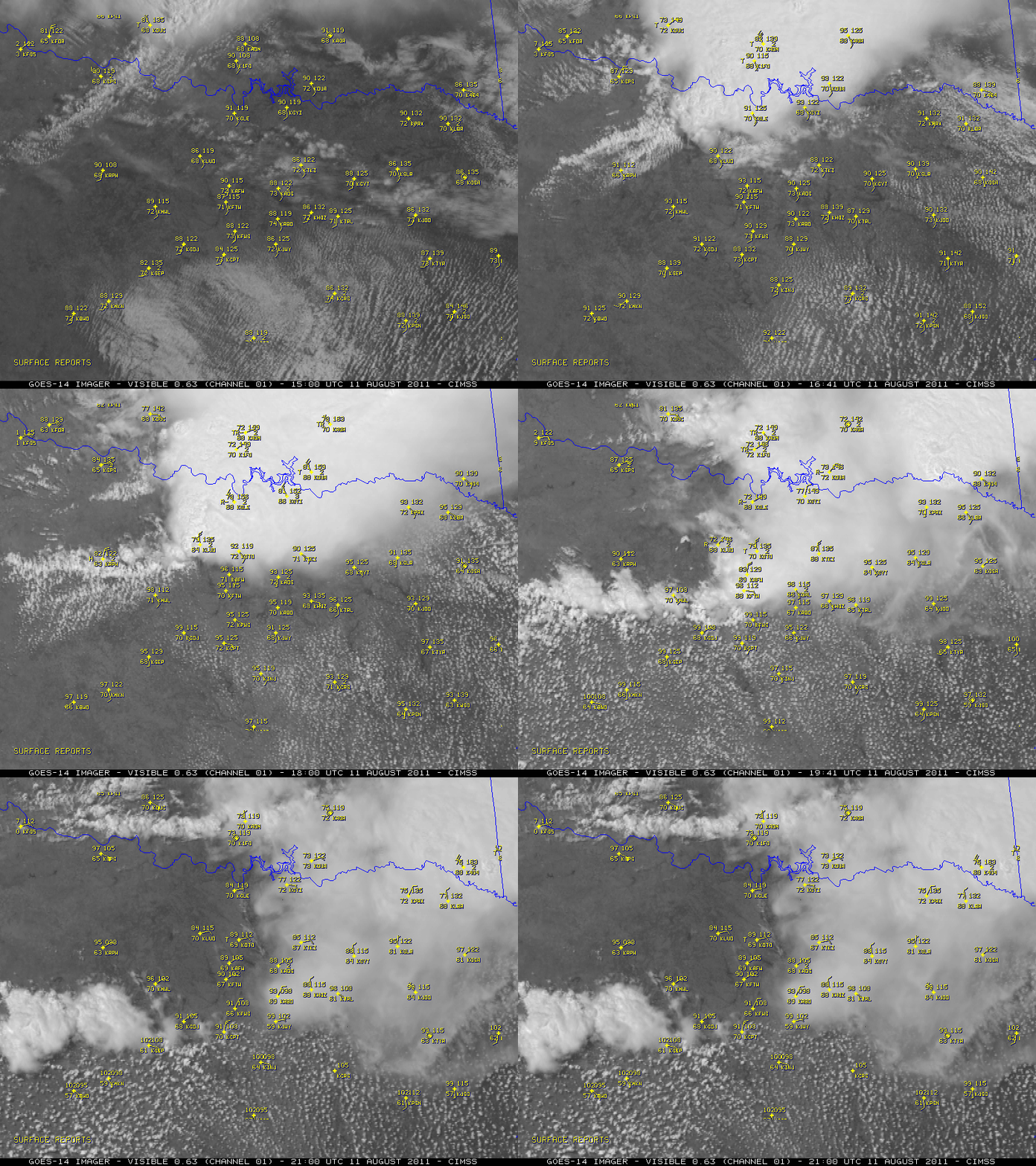
An animation of GOES-14 visible channel images (below) shows the passage of the thunderstorm outflow boundary that ended the long string of 40 consecutive days with daily high temperatures of 100º F or higher at Dallas/Fort Worth, Texas — the high temperature there only reached 97º F on 11 August.


