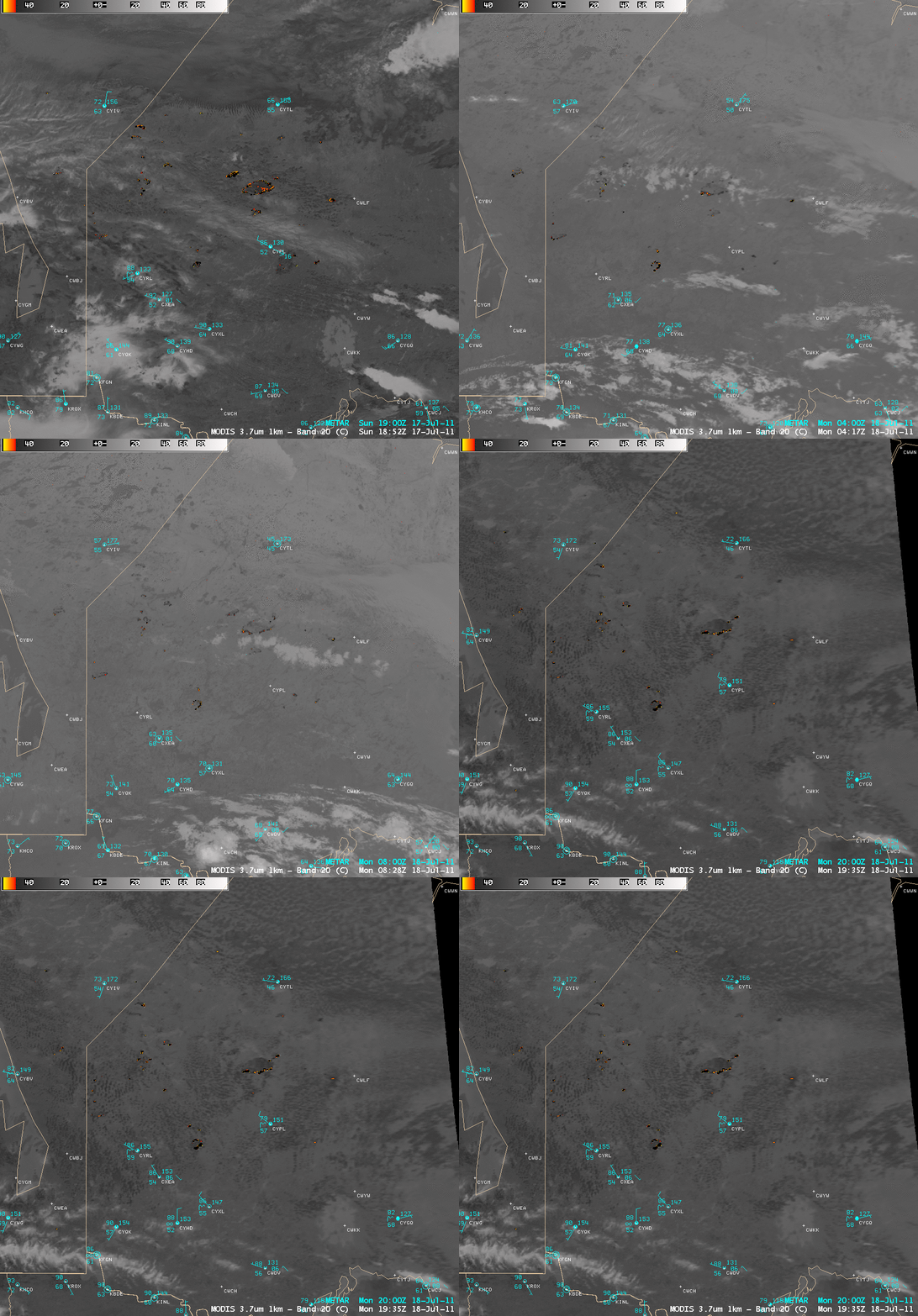
Wildfires and thick smoke in Ontario, Canada
AWIPS images of 1-km resolution MODIS 3.7 µm shortwave IR data (above) revealed a large number of “hot spots” (black to red to yellow color enhancement) due to wildfires that were burning across parts of western Ontario, Canada on 17 July – 18 July 2011.
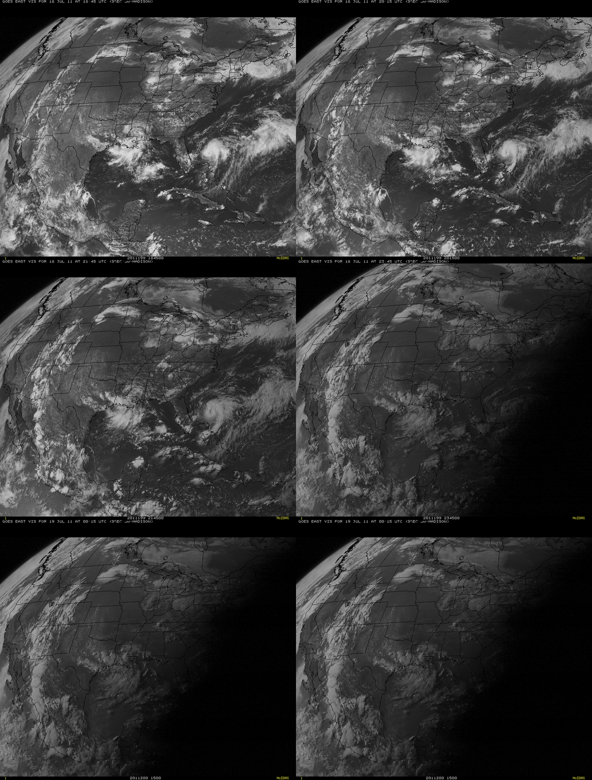
McIDAS images of GOES-13 0.63 µm visible channel data (below) showed the unusually dense smoke plume resulting from these wildfires. Over Ontario, most of the smoke was located aloft (see the US Air Quality Smog Blog for more details), but surface visibilities were still being restricted to 2-5 miles at some locations. Farther away from the source region, the leading edge of the smoke moving over portions of New England and the Canadian Maritime Provinces exhibited significantly less optical thickness.
The hazy extent of the smoke plume could be more readily seen on a MODIS “true color” Red/Green/Blue (RGB) image from the SSEC MODIS Direct Broadcast site (below). As an aside, note that there are still some large ice floes in the open water of Hudson Bay.


