Eruption of the GrÃmsvötn volcano in Iceland
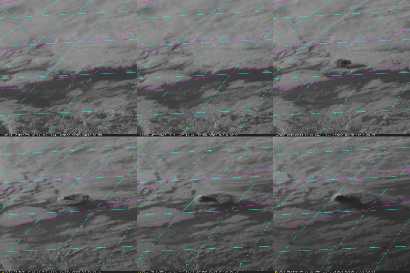
Meteosat-9 visible channel images (above) showed the volcanic eruption cloud emanating from the GrÃmsvötn volcano in Iceland on 21 May 2011 (images courtesy of Dave Santek, SSEC). According to the Icelandic Met Office, at 21:00 UTC the eruption plume had risen to an altitude of over 65,000 ft (~20 km). It is interesting to note that the London VAAC reported
EXTREME LIGHTNING ACTIVITY DETECTED BY ATDNET SYSTEM OF UK METOFFICE, 7000 BETWEEN 1900Z AND 0100Z
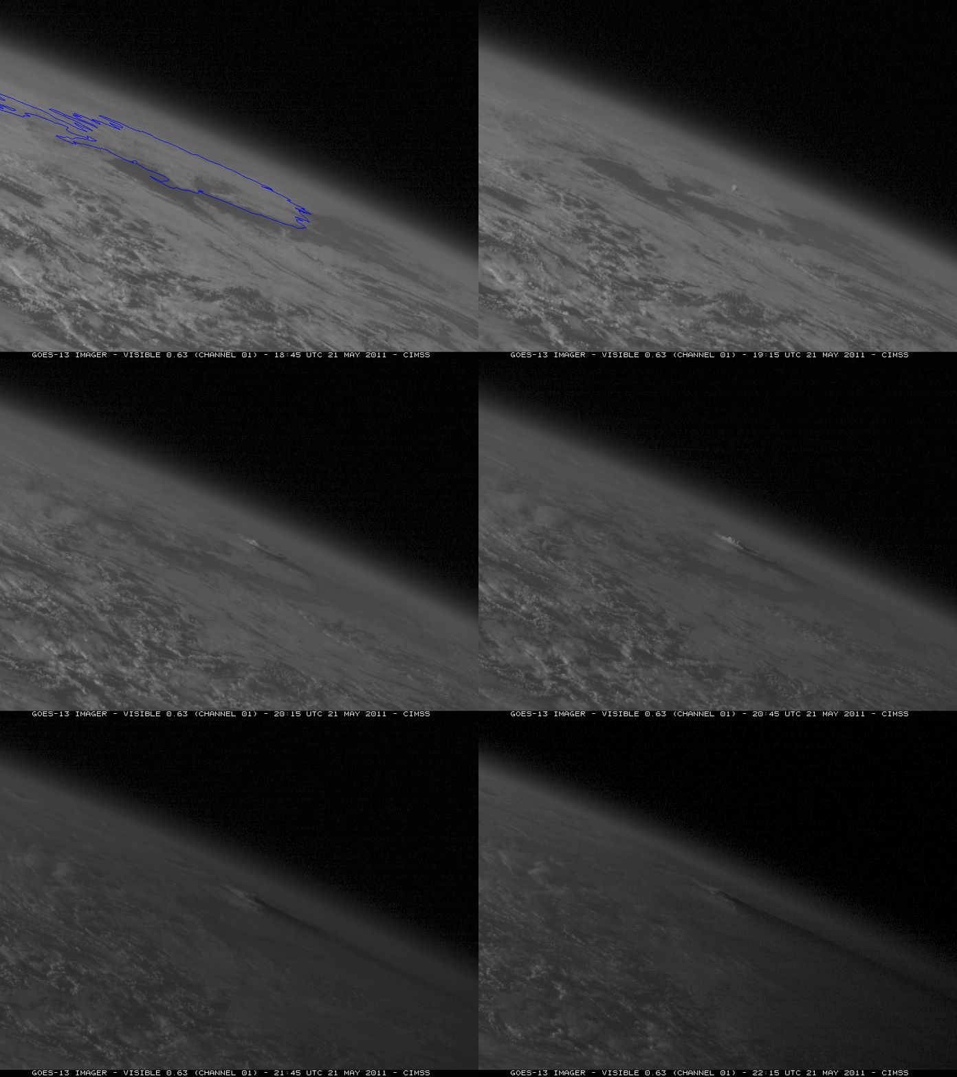
The volcanic eruption cloud was even apparent on the very edge of GOES-13 (GOES-East) imagery, as can be seen in an animation of visible channel images (below). The oblique viewing angle from this satellite helped to emphasize the large vertical extent of the eruption cloud.
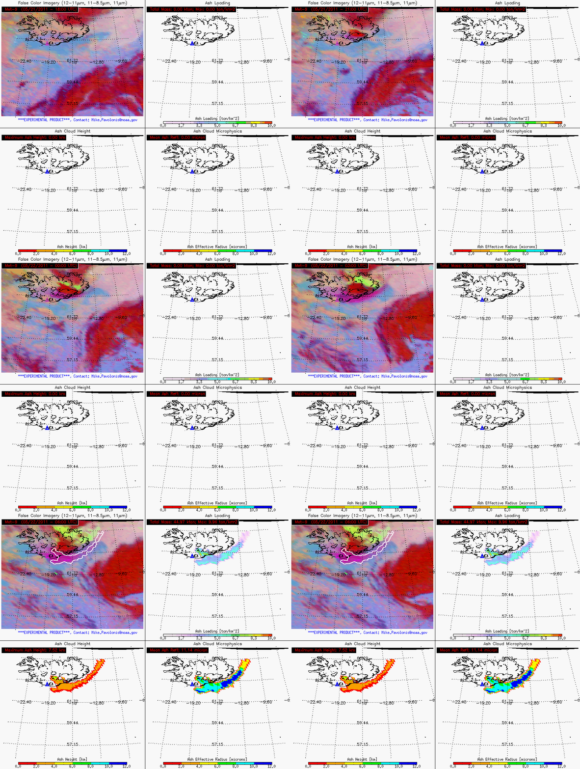
An animation of Meteosat-9 SEVIRI volcanic ash retrieval product 4-panel images (below) indicated that the initial volcanic cloud was ice-dominated (darker red color enhancement on the false color Red/Green/Blue or RGB images in the upper left panel). Around 22:00 UTC, the signal of an SO2 cloud (green color enhancement) began to appear around the northern and northeastern edges of the eruption cloud — very high values of SO2 were subsequently seen moving northward, using data from the OMI instrument.
A more distinct volcanic ash signal (pink color enhancement on the RGB image) became obvious as time progressed along the southern and southeastern edges of the eruption cloud, and by 06:00 UTC on 22 May the retrieved maximum ash height had reached 7.52 km (with the mean volcanic ash particle effective radius at 11.14 µm). Total volcanic ash mass loading had increased to 44.97 kilotons by 06:00 UTC.
CIMSS participation in GOES-R Proving Ground activities includes the generation of these SEVIRI volcanic ash retrievals, which offers a demonstration of the type of products that will be available for volcanic ash monitoring with the ABI instrument on the future GOES-R satellite.
===== 22 MAY UPDATE =====
Meteosat-9 visible channel images (below; click image to play animation) showed that multiple volcanic eruption clouds were still reaching significant vertical heights, with much of this high-altitude material drifting northward. Another lower-altitude hazy volcanic ash cloud could also be seen spreading out just off the southern coast of Iceland. See the US Air Quality blog for MODIS true color images and OMI SO2 images of the volcanic eruption.


