The first -40º F (-40º C) temperatures of the season in Alaska
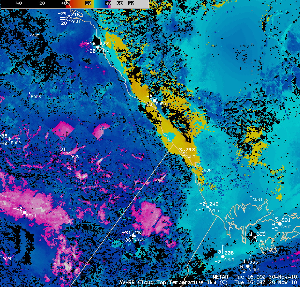
The first -40º F (-40º C) or colder surface air temperatures of the 2010-2011 winter season occurred on 30 November 2010 (the last day of the 2010 Atlantic Ocean Tropical Cyclone Season). A McIDAS image of NOAA-15 AVHRR 10.8 µm IR channel data (above) shows a signal of the coldest air (darker blue color enhancement) draining into the lower elevations of the river valleys and the Yukon Flats region. At Fort Yukon (station identifier PFYU), the daily maximum and minimum temperatures were -36º F (-38º C) and -42º F (-41º C), respectively. In contrast to the areas of very cold surface temperatures, cloud features exhibited much warmer IR brightness temperatures (green to yellow color enhancement).
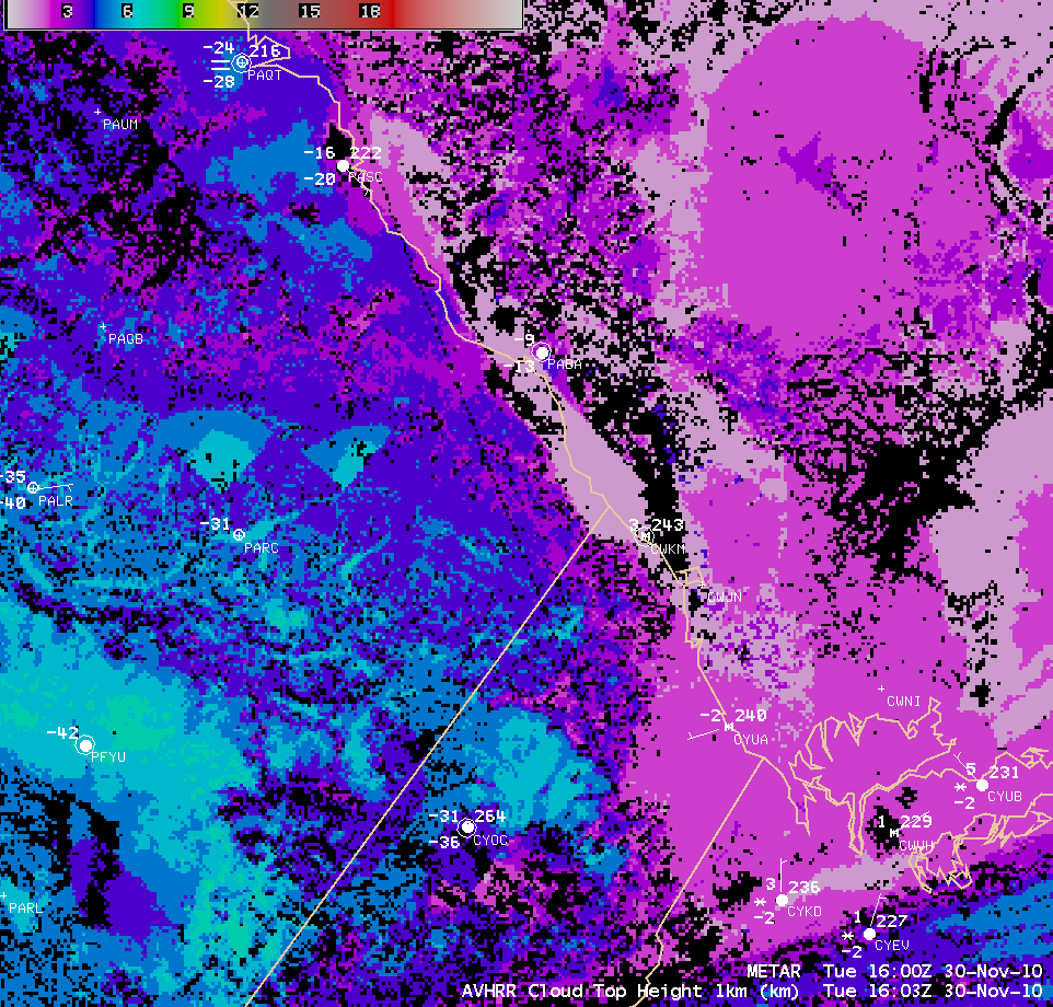
Note the significantly warmer surface air temperatures at a few sites along the arctic coast of both Alaska and the Yukon Territory of Canada — this was due to a low cloud deck that was preventing the strong radiational cooling that was occurring farther inland. AWIPS images of the POES AVHRR Cloud Top Temperature (CTT) product and the POES AVHRR Cloud Top Height (CTH) product (below) showed that CTT values associated with this feature were in the -20º to -25º C range (yellow to cyan color enhancement), with CTH values of 1-2 km (violet color enhancement).


