Blowing dust in the Pacific Northwest
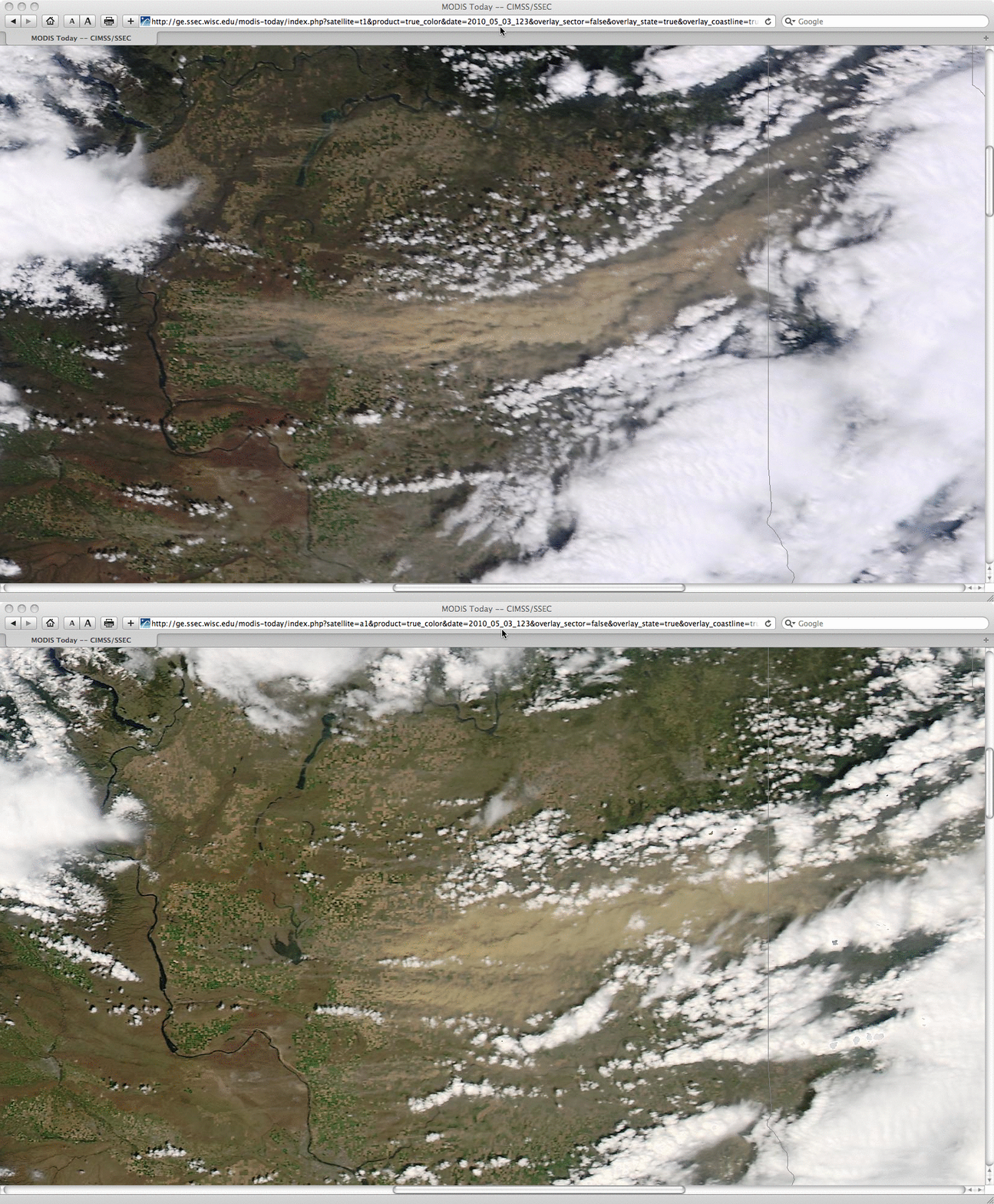
We received an email from Ron Miller at the National Weather Service forecast office at Spokane, Washington asking if there was any good MODIS imagery of the major dust storm that they had in their area on 03 May 2010. There most certainly was: the 250-meter resolution Terra MODIS (19:39 UTC or 12:39 pm local time) and Aqua MODIS (21:21 UTC or 2:21 pm local time) true color images (created using MODIS bands 1/4/3 as the R/G/B channels) from the SSEC MODIS Today site (above) revealed a very large and distinctive plume of blowing dust (light brown color) streaming eastward across eastern Washington state into Idaho. Winds at higher elevations gusted as high as 80 mph — and surface visibility was restricted to below 1/4 mile at times. For more details on the event, see the Damaging Wind Storm summary on the NWS Spokane website.
There were a number of traffic accidents reported across the area due to the strong winds and reduced visibility; the MODIS true color images visualized using Google Earth (below) showed that a significant portion of Interstate 90 was affected by the blowing dust plume. In addition, note that the thick dust plume appeared to be having an impact on cumulus cloud development, by reducing the amount of surface heating to initiate updrafts.
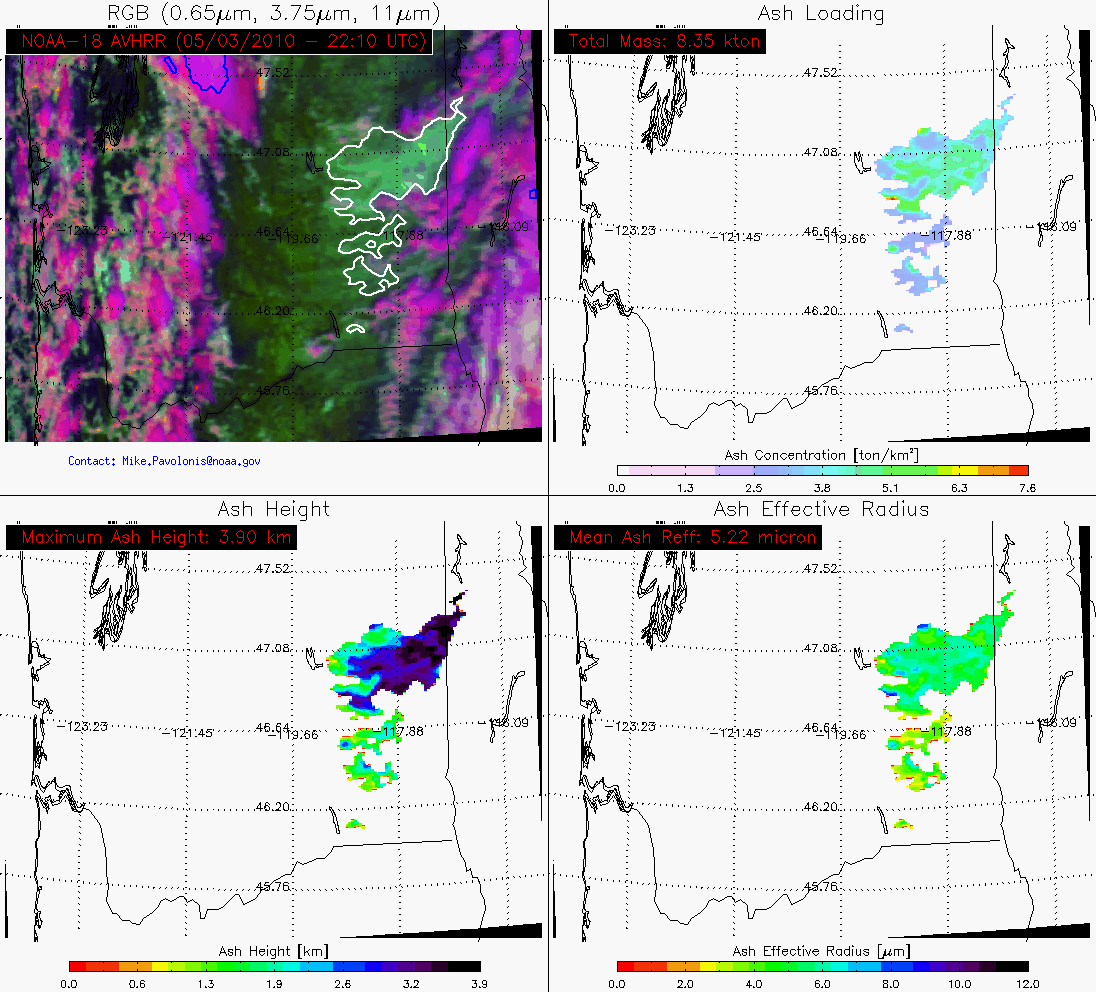
NOAA/NESDIS/ASPB and CIMSS staff produce real-time volcanic ash retrieval products — and this thick blowing dust plume actually triggered an automated alert for volcanic ash over eastern Washington. Though the retrievals were performed using an ash microphysical model, the results for this blowing dust plume can be of some utility — for example, the maximum height of he dust feature was given as 3.9 km, which could be useful to aviation concerns.


