GOES-14 SRSO-R: coastal fog/stratus and wildfire activity in the western US
![GOES-14 Visible (0.63 µm) images, with hourly surface weather symbols plotted in yellow [click to play MP4 animation]](https://cimss.ssec.wisc.edu/satellite-blog/wp-content/uploads/sites/5/2016/08/960x1280_GOES14_B1_GOES14_VIS_PACNW_17AUG2016_2016230_172600_0001PANEL.GIF)
GOES-14 Visible (0.63 µm) images, with hourly surface weather symbols plotted in yellow [click to play MP4 animation]
![GOES-14 Visible (0.63 µm) images, with hourly plots of surface reports in yellow [click to play MP4 animation]](https://cimss.ssec.wisc.edu/satellite-blog/wp-content/uploads/sites/5/2016/08/960x1280_GOES14_B1_GOES14_VIS_SFO_17AUG2016_2016230_160400_0001PANEL.GIF)
GOES-14 Visible (0.63 µm) images, with hourly plots of surface reports in yellow [click to play MP4 animation]
![GOES-14 0.63 µm Visible (left) and 3.9 µm Shortwave Infrared (right) images, with hourly plots of surface reports in cyan/yellow [click to play MP4 animation]](https://cimss.ssec.wisc.edu/satellite-blog/wp-content/uploads/sites/5/2016/08/960x640_GOES14_B12_GOES14_VIS_SWIR_CA_FIRE_16AUG2016_2016230_154500_0002PANELS.GIF)
GOES-14 0.63 µm Visible (left) and 3.9 µm Shortwave Infrared (right) images, with hourly plots of surface reports in cyan/yellow [click to play MP4 animation]
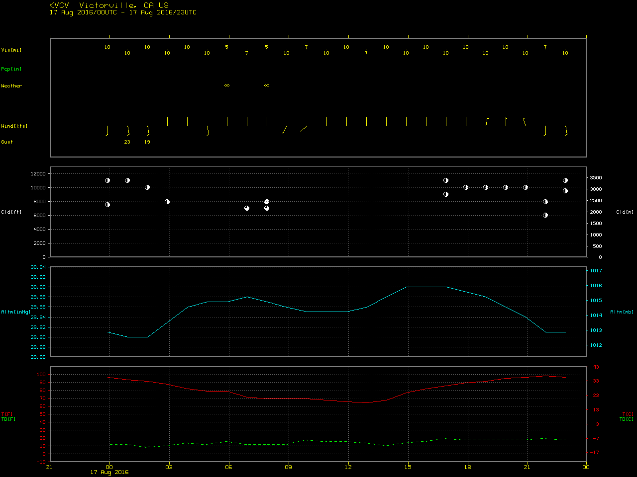
![GOES-14 Visible (0.63 µm) images, with county outlines and 4-character airport identifiers [click to play MP4 animation]](https://cimss.ssec.wisc.edu/satellite-blog/wp-content/uploads/sites/5/2016/08/960x1280_GOES14_B1_GOES14_VIS_BLUE_CUT_FIRE_CA_17AUG2016_2016230_213200_0001PANEL.GIF)
GOES-14 Visible (0.63 µm) images, with county outlines and 4-character airport identifiers [click to play MP4 animation]