GOES-14 SRSOR: Automated Detection of Overshooting Tops

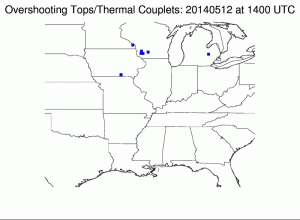
Automated detection of Overshooting Tops (blue symbols) from GOES-14 during SRSO Operations, 1400-1545 UTC on 12 May 2014
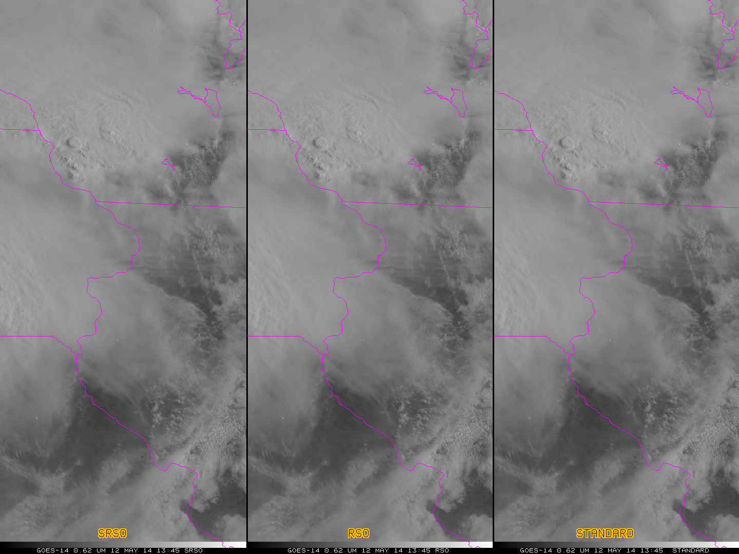
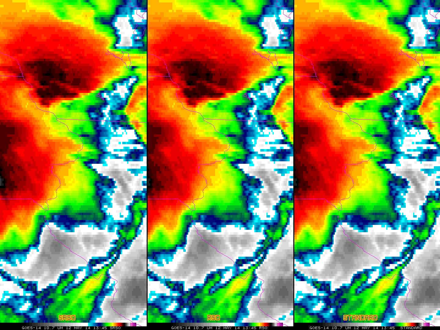
Detection of overshooting tops is important because the overshoot occurs with very strong updrafts that can punch through the tropopause. These strong updrafts can suspend large hydrometeors, and overshooting tops are associated with heavy rain and severe weather (principally hail and high winds, but also tornadoes). See this link for more information, and this link for other case studies. On Monday May 12th, eastward-moving morning convection over southern Wisconsin produced many overshooting tops as shown in the animation above (SPC Storm Reports are here). The overshooting tops were detected using an Automated Detection Algorithm developed for GOES-R by scientists at NASA Langley and UW-CIMSS. The steadiness of the OT production reflects the persistent strength of the thunderstorm complex. What did this storm look like in visible and infrared imagery from GOES-14, which was operating in SRSO mode? The animations below, from 1345 through 1545 UTC, shows GOES-14 in SRSO mode (left — 1-minute imagery), RSO mode (center — images every 7-15 minutes), and standard mode (right — images usually every 15 minutes) using visible images (top animation) and infrared images (bottom animation). Click on the images to see the animations as YouTube videos. The 1-minute imagery alone captures the very dynamic and rapidly-evolving cloud-top structures associated with the strong convection.

GOES-14 Visible Imagery (0.62 µm) Animations from 12 May 2014. SRSO (Left), RSO (Center) and Standard (right) Scan Strategies are presented. Click to Animate

GOES-14 IR Imagery (10.7 µm) Animations from 12 May 2014. SRSO (Left), RSO (Center) and Standard (right) Scan Strategies are presented. Click to Animate
In both of the animations above, note how well the OTs observed in the satellite imagery match the auto-detected OTs. Auto-detection can miss detecting some tops, but the false alarm rate is low. Both image animations are also available as mp4 downloads (Visible, Infrared) and as YouTube videos (Visible and Infrared).

