“Midget” tropical cyclone over the West Pacific Ocean?
A sequence of MTSAT-2 0.675 µm visible channel images (during daytime) and 10.8 µm IR channel images (during the night) revealed the signature of what could be a “midget” tropical cyclone which was moving westward across the western Pacific Ocean during the 17 July – 19 July period (above; click image to play animation).
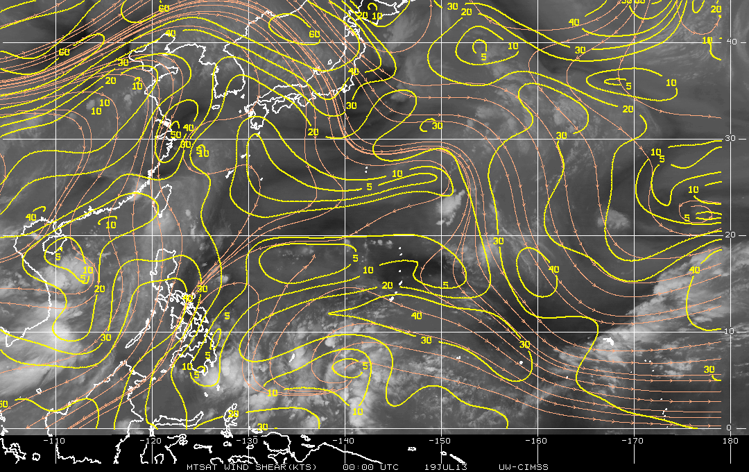
MTSAT-2 6.75 µm water vapor channel images with overlays of satellite wind derived deep-layer wind shear from the CIMSS Tropical Cyclones site (below; click image to play animation) showed that the region near 21º North latitude 130º East longitude was experiencing generally light to moderate northeasterly wind shear during this time period.


