Record snowfall in Rapid City, South Dakota
A late-season winter storm brought heavy snowfall to much of the central US — Rapid City, South Dakota (station identifier RAP) set records that included 20.0 inches on 09 April 2013 (most snowfall on a calendar day) and 28.2 inches on 08 April – 10 April (greatest muti-day snowfall). McIDAS images of 4-km resolution GOES-13 6.5 µm water vapor channel data covering the 08 April – 10 April period (above; click image to play animation; also available as a QuickTime movie) showed the development of several convective elements that helped to enhance snowfall rates as they moved northward across the region on 09 April, as well deformation bands that formed as the circulation of the upper-level low slowly migrated over western South Dakota and western Nebraska on 10 April.
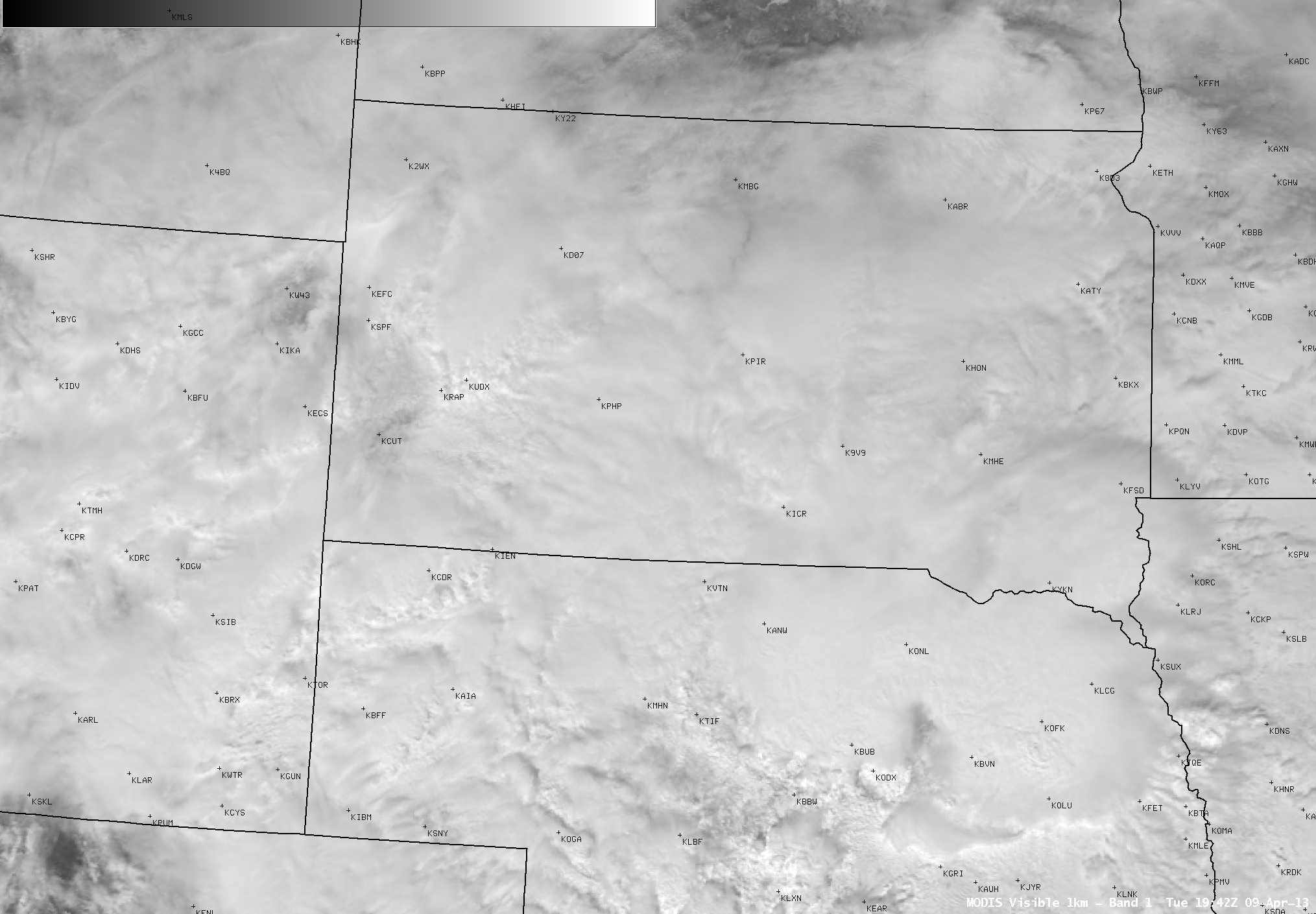
An AWIPS image of 1-km resolution MODIS 0.65 µm visible channel data (below) showed some of the convective elements responsible for producing a period of heavy snow at Rapid City on 09 April. Large thunderstorms were also seen at the time over notheastern Nebraska and southeastern South Dakota.
A surface meteorogram (below) shows the conditions at Rapid City Regional Airport during the 08-10 April period.
===== 12 April Update =====
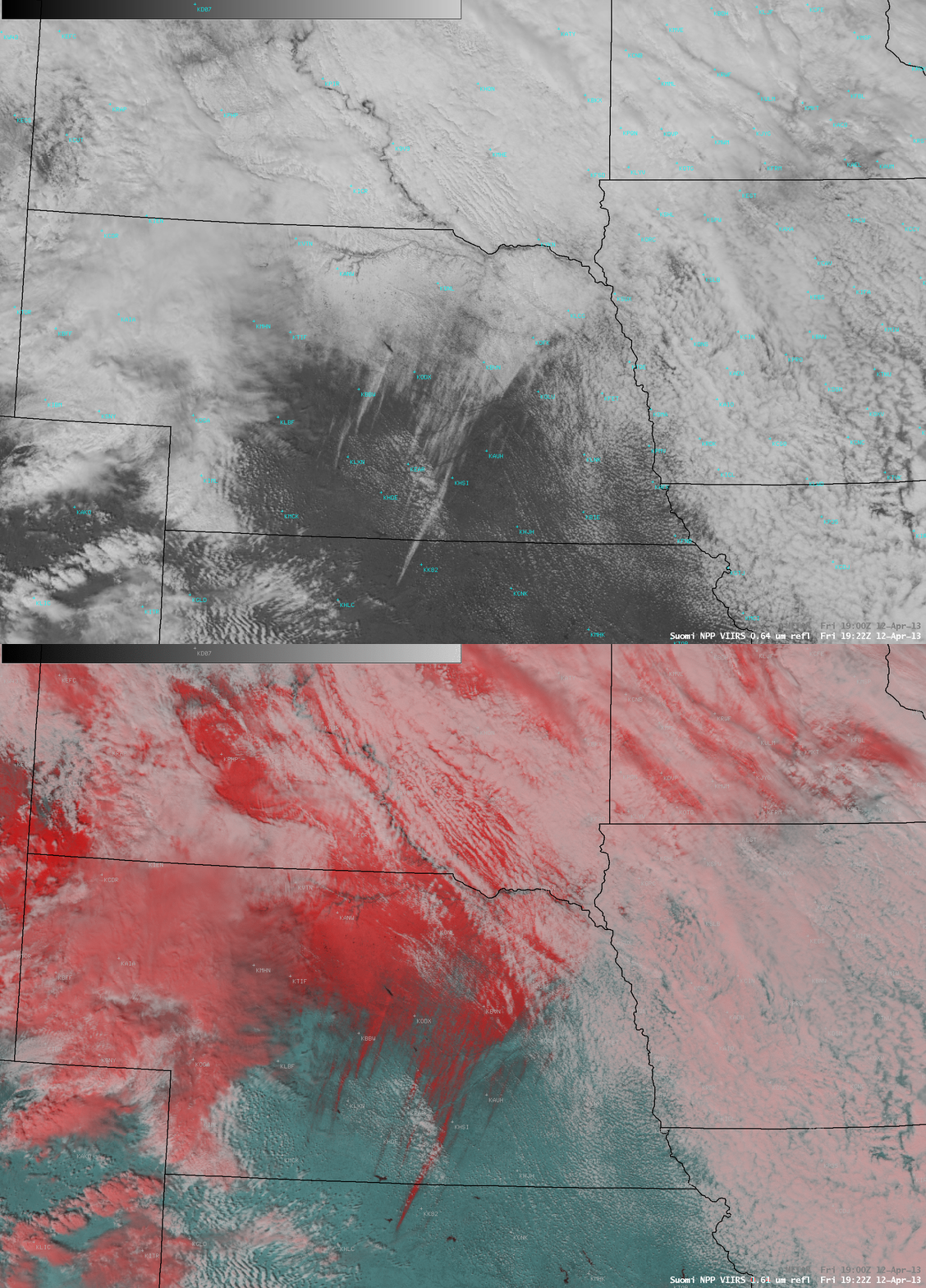
Widespread cloudiness masked a good view of the areal extent of the resulting snow cover across South Dakota, but farther to the south over Nebraska and far northern Kansas an AWIPS comparison of 1-km resolution Suomi NPP VIIRS 0.64 µm visible channel and false-color Red/Green/Blue (RGB) images (below) showed interesting detail in a number of mesoscale bands of snow cover. Snow appears as white on the visible image, and as darker shades of red on the RGB image; supercooled water droplet clouds are lighter shades of white, while ice crystal clouds appear as shades of pink on the false-color image.


