Rope Cloud over the Gulf of Mexico
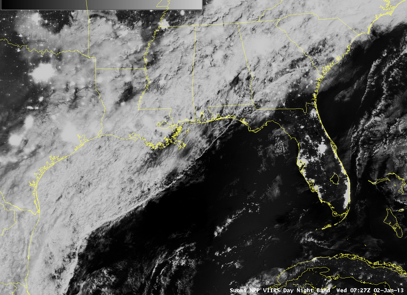
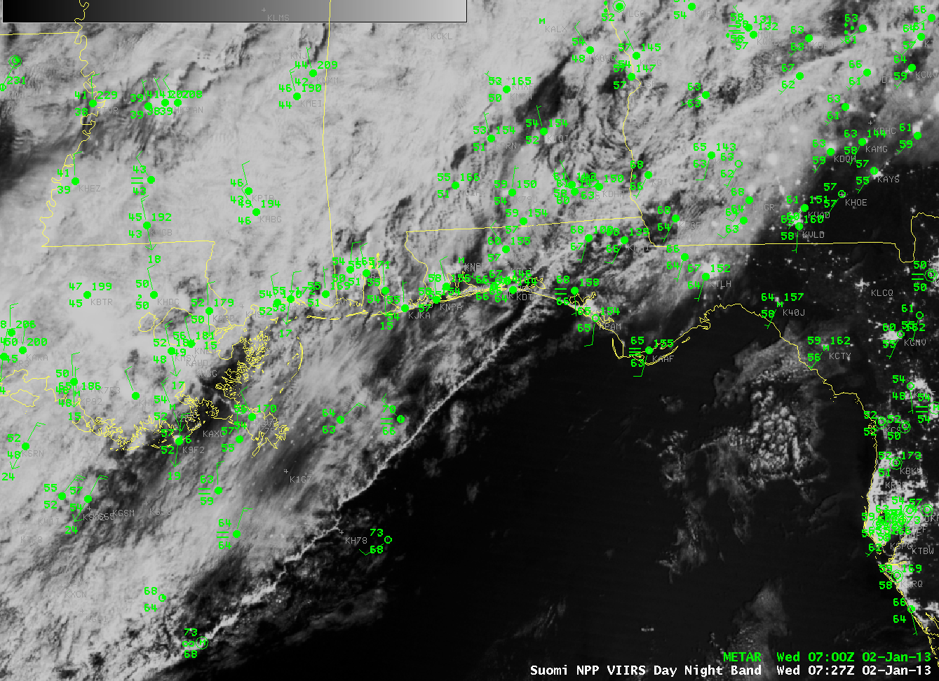
The Suomi/NPP Day/Night Band “nightime visible” image early on 2 January captured a rope cloud extending over the central Gulf of Mexico southwestward from the northwest Florida panhandle. Rope Clouds are handy features because they accurately place the location of the cold front at the leading edge of the rope structure. METARS overlain above the Suomi/NPP image (below) over the north-central Gulf Coast demonstrate how the Rope Cloud is a Cold Front.
Visible imagery during the day on 2 January, from GOES-East, below, shows that the Rope Cloud maintained its structure as it continued pushing eastward towards the Florida Peninsula.
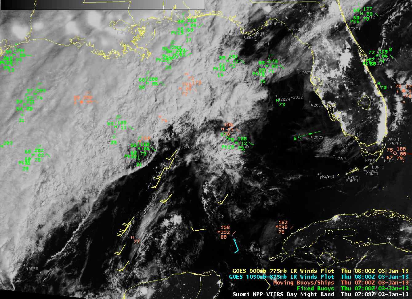
(Added: Portions of the Rope Cloud persisted into the early morning hours of 3 January 2013, as shown by the Day/Night Band image from Suomi/NPP VIIRS, below)


