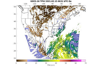
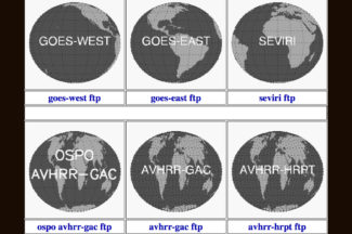
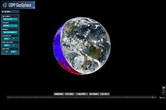
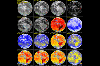
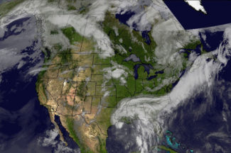
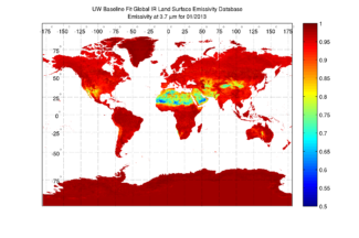
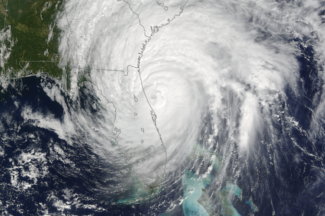
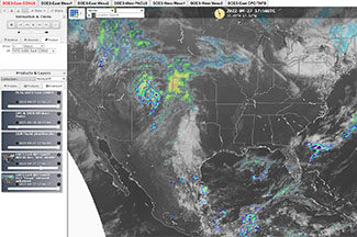
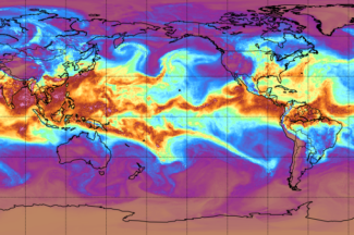
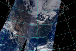
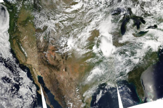
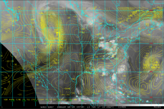
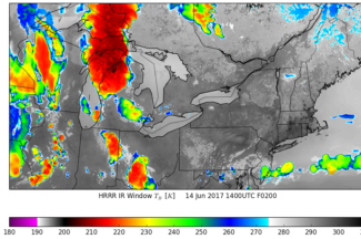
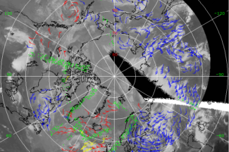
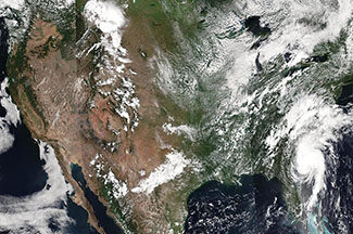
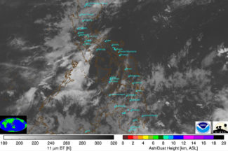
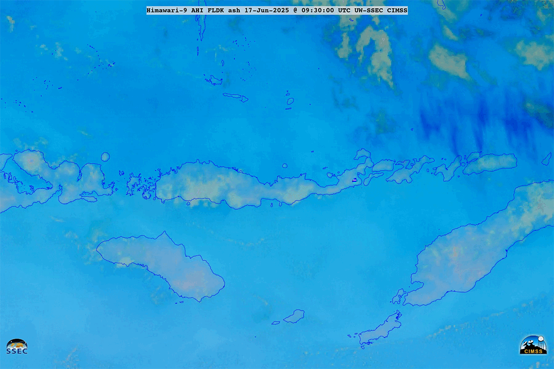
University of Wisconsin-Madison / Space Science and Engineering Center

Cooperative Institute for Meteorological Satellite Studies

  • About Us
  • Contact Us
  • Publications
  • Seminars/Meetings
  • CIMSS Home
  • Research
  • Software
  • Data and Imagery
  • Field Programs and Instruments
  • Education, Outreach, and Training

Data and Imagery

As part of their research, CIMSS scientists produce data and imagery which they make available on the web as a service to others. Much of the data available to CIMSS scientists is provided through SSEC's Data Center.

Atmospheric Emitted Radiance Interferometer (AERI) Products

CIMSS Regional Assimilation System Forecast (CRAS)

CLAVR-x Near Real-Time Results

Clear Sky Global Training Database for Hyperspectral and Multi-spectral Atmospheric Retrievals

Fire Monitoring Satellite Images

Global IR Emissivity

GOES Realtime Derived Products

GOES Weighting Functions

Google Earth Imagery

Hurricane and Tropical Storm Images

IDEA: Infusing satellite Data into Environmental Applications

Mesoscale winds

MODIS Today

MODIS Direct Broadcast Products

Polar Satellite Meteorology

Storm Tracker

Weather for Pilots Realtime Weather Data

For more data and imagery, see SSEC's Data and Imagery page.


Updated 6-Aug-2008
CIMSS Webmaster