Robert Rabin
NOAA/NSSL and UW-Madison/CIMSS
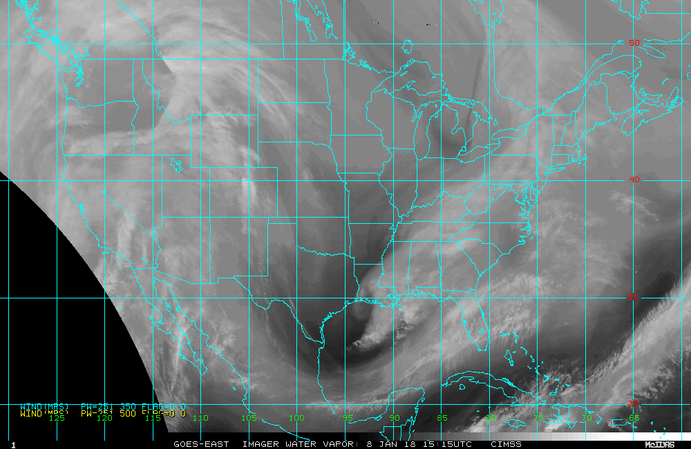
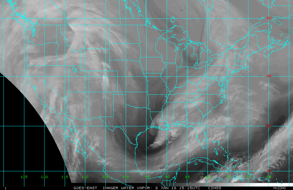
Winds are estimated from the automated satellite winds algorithm developed at the Cooperative Instutute of Meteorological Satellite Studies (CIMSS), University of Wisconsin-Madison. Sequences of three GOES-13 images (6.7 microns), separated by 30 minutes, are used to compute winds.
Most of the products shown here cover the U.S. CONUS and surrounding
areas.
Analyses available from the selections below include background water
vapor imagery with user selectable overlays of:
1. Wind vectors and associated mid-layer pressure levels (based on the observed radiance and vertical weighting function):
black: 100-250 mb, cyan: 251-350 mb, yellow 351-500 mb
2. Objectively analyzed fields at 300 hPa (based on available wind vectors and background field from global forecast model GFS):
| Wind Vectors |
Divergence
(300mb) |
Vorticity
(300mb) |
Speed (300mb) |
|
| GOES Winds | X |
X |
X |
X |
| GUESS (GFS) |
X |
X |
X |
| Most Recent Analysis |
|
|
|
|
|
|
|
|
|
|
|
|
|
|
|
|
|
|
| WV imagery |
|
X |
| Wind vectors |
X |
X |
| Divergence (500mb) |
|
|
| Vorticity
(500 mb) |
|
X |
| Speed (500
mb) |
X |
X |
| GFS
Divergence |
X |
X |
| GFS Vorticity |
X |
X |
| GFS Speed |
X | X |
| RUC
Divergence |
X |
X |
| RUC Vorticity |
X |
X |
| RUC Speed |
X |
X |
Rabin, R. M., S. F. Corfidi, J. C. Brunner,
C. E Hane, 2004: Detecting winds aloft from
water vapor satellite imagery in the vicinity of storms. Weather, 59,
251-257. Click
here
Rabin, R.M., J. Brunner, C. Hane, J. Haynes: Water vapor winds in vicinity of convection and winter storms. P3.4. 11th Conference on Satellite Meteorology and Oceanography, 15-18 October 2001, Madison, WI. To view the extended abstract (as a pdf file) Click here.
A more complete
manuscript
including an analysis of several convective cases is available by clicking
here .
Links:
Global winds: For real-time and archived data and more information on the satellite winds program at CIMSS see the "Tropical Cyclones Homepage": Click here
Return to CIMSS
(UW-Madison)
or NSSL (NOAA/NSSL).
Last update was 09 February 2016. Feedback.