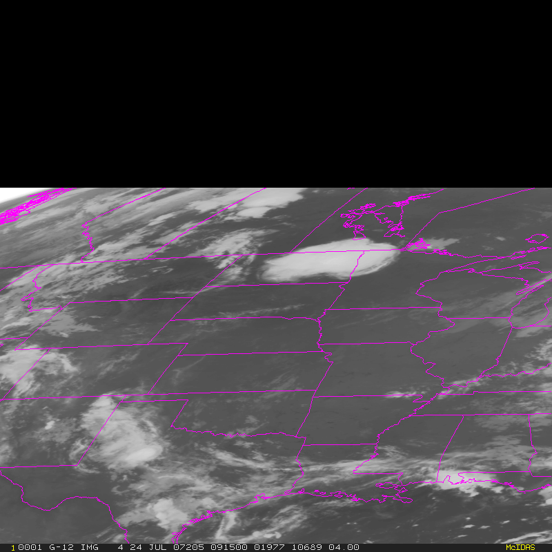
This website works best with a newer web browser such as Chrome, Firefox, Safari or Microsoft Edge. Internet Explorer is not supported by this website.

Farewell to GOES-13…

05 January 2007 was the final day of the GOES-13 Post-Launch NOAA Science Test; following the final image at 09:45 UTC (above), the satellite was placed into on-orbit storage until it is needed to replace one of the other operational GOES. This also marked... Read More

GOES-13 IR image

05 January 2007 was the final day of the GOES-13 Post-Launch NOAA Science Test; following the final image at 09:45 UTC (above), the satellite was placed into on-orbit storage until it is needed to replace one of the other operational GOES. This also marked the final opportunity to view the western hemisphere using imagery from 4 different GOES perspectives (below).
GOES-10/GOES-11/GOES-12/GOES-13 IR images

View only this post Read Less

“Foehn gap” and mountain waves in Colorado

AWIPS MODIS water vapor channel imagery (above) shows a well-defined (but cloud-free) variant of a “Foehn gap” over central Colorado on 04 January 2007. This Foehn gap was oriented roughly north-south, just to the lee of the highest terrain of the Front Range of the Rocky... Read More

AWIPS MODIS water vapor channel image

AWIPS MODIS water vapor channel imagery (above) shows a well-defined (but cloud-free) variant of a “Foehn gap” over central Colorado on 04 January 2007. This Foehn gap was oriented roughly north-south, just to the lee of the highest terrain of the Front Range of the Rocky Mountains (below), and formed as 60-70 knot winds at 500 hPa were flowing from west to east over that region (winds at Boulder CO KBJC were westerly at 21 gusting to 37 mph around the time of the MODIS image). A comparison of MODIS and GOES water vapor imagery reveals that, due to parallax error with the GOES-12 image, this Foehn gap incorrectly appears to the west of the highest terrain.  Also evident on the 1-km resolution MODIS water vapor image is a series of mountain waves further downwind of the Foehn gap (these mountain waves were not apparent on the 4-km resolution GOES-12 water vapor imagery). There was only one isolated pilot report of turbulence in the area around the time of the MODIS water vapor image, but air traffic is generally at a minimum during that time of day.

AWIPS topography image

View only this post Read Less

December 2006: A month of Northern Hemisphere water vapor channel images

An animation of 3-hourly water vapor image composites from AWIPS during the entire month of December 2006 (55-MB QuickTime animation; 1280×1024 screen resolution required) shows the diverse variety of storms that affected the northern hemisphere during that particular month. Strong winter... Read More

AWIPS Northern Hemisphere water vapor image composite
An animation of 3-hourly water vapor image composites from AWIPS during the entire month of December 2006 (55-MB QuickTime animation; 1280×1024 screen resolution required) shows the diverse variety of storms that affected the northern hemisphere during that particular month. Strong winter storms left widespread swaths of heavy snow across much of the central US (01, 19-21, 29-31 December), created hurricane-force winds in the Pacific Northwest states (9-10 and 13-14 December), and deposited heavy lake-effect snowfall downwind of the Great Lakes (7-8 December). Outbreaks of severe convection that spawned tornadoes occurred in Pennsylvania (01 December), Florida (25 December), and Texas (29 December); a rare tornado was also reported near London, England (07 December). Super Typhoon Durian (01-05 December) and Typhoon Utor (06-13 December) made landfall in the Philippines and crossed into the South China Sea.

View only this post Read Less

Late December 2006 storm: heavy snow, ice, and tornadoes

A powerful winter storm produced widespread heavy snow and freezing rain across much of the central US during the 2831 December 2006 period — total snowfall amounts included 58 inches in New Mexico, 44 inches in Colorado, 32 inches in Kansas, 16 inches in Nebraska and North Dakota, and 15... Read More

GOES water vapor channel image

A powerful winter storm produced widespread heavy snow and freezing rain across much of the central US during the 2831 December 2006 period — total snowfall amounts included 58 inches in New Mexico, 44 inches in Colorado, 32 inches in Kansas, 16 inches in Nebraska and North Dakota, and 15 inches in South Dakota. Blizzard conditions created snow drifts up to 15 feet high in parts of the Plains. GOES-12 water vapor channel imagery from AWIPS (above | Java animation) revealed the large size of the storm as it was developing over the southern Rocky Mountains on 29 December. This storm also produced significant accumulation of ice due to freezing rain, which resulted in the loss of electrical power for tens of thousands of people in Nebraska alone; MODIS images from 31 December revealed two separate swaths of ice-covered ground in that state (from this storm and the previous winter storm earlier in the month).
GOES-12 IR image

In addition, this storm was responsible for an outbreak of tornadoes in Texas on 29 December (which produced 1 fatality) . GOES-12 10.7µm IR imagery (above | Java animation) showed the widespread convection that developed quickly over eastern Texas during the late morning hours — while numerous cloud top temperatures reached -60 C and colder (red enhancement), there were no enhanced-v signatures exhibited by any of these storms on the 15-minute GOES-12 images (nor on the 1-km resolution MODIS IR imagery); however, numerous cloud to ground lightning strikes were associated with this severe convection.

GOES sounder precipitable water

During the hours leading up to the development of the severe convection, AWIPS GOES sounder derived product imagery (above | Java animation) showed that a plume of total precipitable water having values of 30-45 mm (1.2-1.8 inches) was being advected north-northwestward across the Gulf of Mexico toward Texas.

View only this post Read Less