Archive: Sep 2025

Aircraft turbulence associated with transverse cirrus bands

Transverse cirrus bands — narrow cirrus cloud filaments oriented perpendicular to the mean wind flow at the altitude of those cloud features — have long been recognized as indicators of potential aircraft turbulence. Such was the case on 20 September 2025, when a Mesoscale Convective System over Kansas/Oklahoma began to exhibit transverse... Read More
Resuspended volcanic ash from the 1980 eruptions of Mount St. Helens
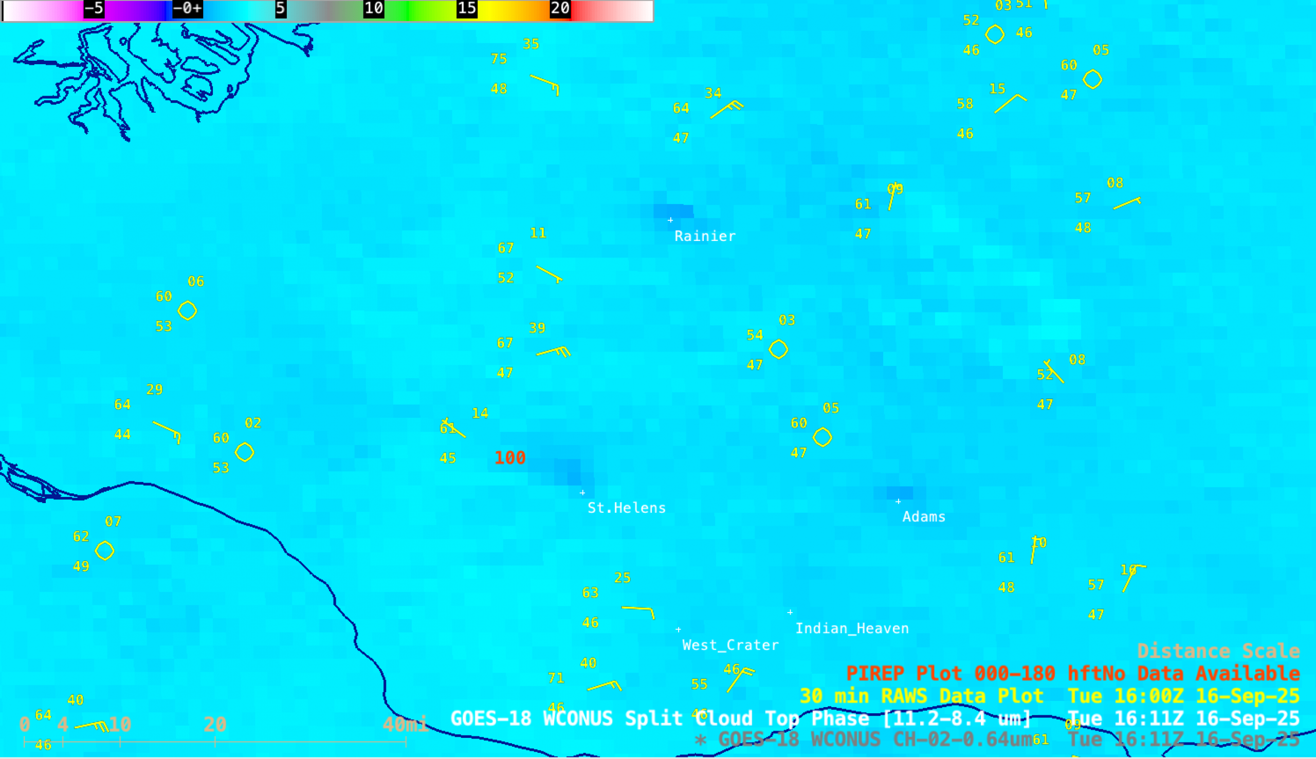
5-minute PACUS Sector GOES-18 (GOES-West) Visible images (above) showed the hazy signature of resuspended volcanic ash (remaining from the 1980 eruptions of Mount St. Helens) that was being lofted from the surface by strong east-southeast winds — which were gusting as high as 38-42 mph at nearby RAWS sites — and being... Read More
Outbreak of tornadoes across North Dakota

1-minute Mesoscale Domain Sector GOES-19 (GOES-East) Visible and Infrared images (above) included time-matched (+/- 3 minutes) plots of SPC Storm Reports — which showed supercell thunderstorms that produced a south-to-north oriented swath of at least 12 tornadoes across central North Dakota on 14 September 2025. With this outbreak, a new record was set for the number of... Read More
