Aurora over the northern United States early on 8 October
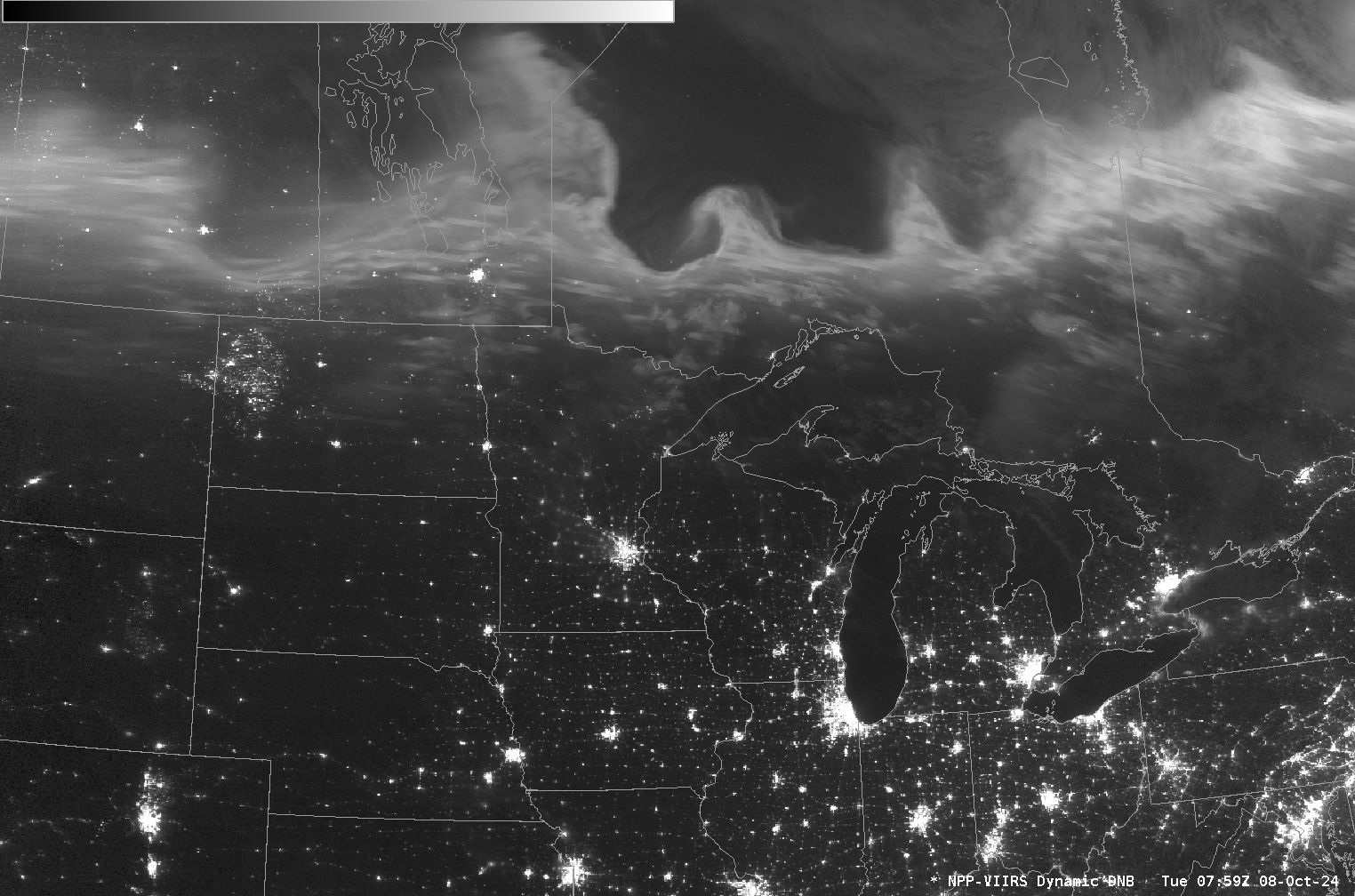
There was another exceptional Auroral display over the upper Midwest during the early morning on 8 October 2024. Day Night Band imagery, above, from Suomi NPP (at 0800 UTC) and from — despite the label — NOAA-20 (at 0823 UTC), shows the big change in areal coverage of the northern... Read More

