Signatures of the Alaska Range on Water Vapor imagery
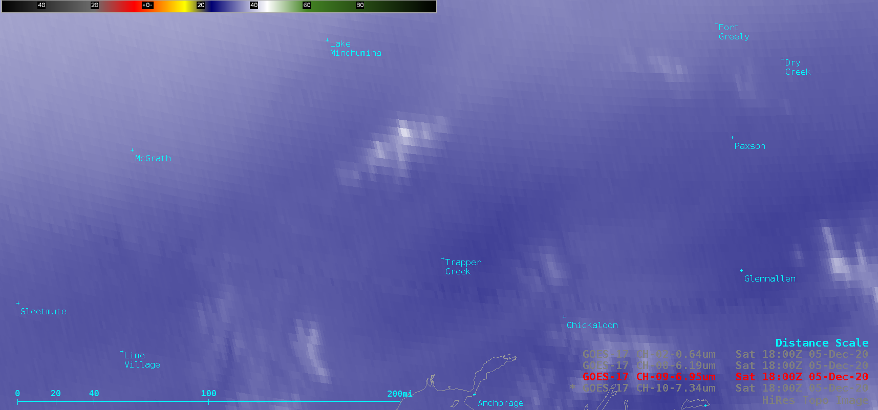
GOES-17 (GOES-West) Low-level (7.3 µm), Mid-level (6.9 µm) and Upper-level (6.2 µm) Water Vapor images (above) revealed cold thermal signatures (brighter shades of white) associated with the highest-elevation portions of the Alaska Range on 05 December 2020. Note the slight northward shift (16-20 km, or 10-12 miles) in the apparent location of Denali... Read More
