Northeast US heavy rain and high wind event
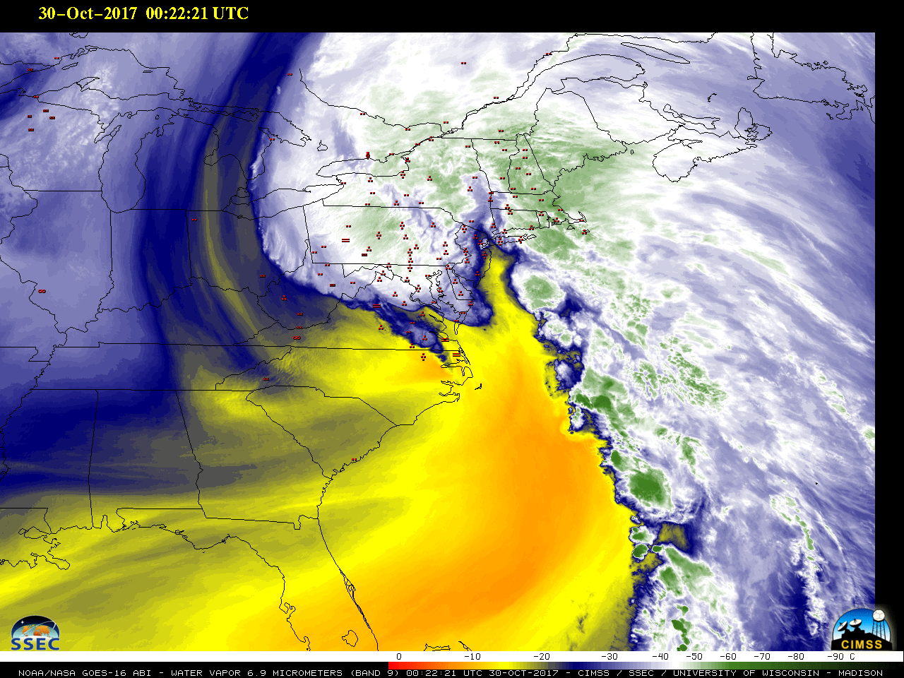
* GOES-16 data posted on this page are preliminary, non-operational and are undergoing testing *GOES-16 Mid-level Water Vapor (6.9 µm) images with hourly surface weather symbols plotted in red (above) showed the large-scale evolution of a storm system that deepened rapidly as it moved across the Northeast US during the... Read More
