![GOES-13 Visible (0.63 µm) image, Metop ASCAT and RTMA surface winds, METAR surface reports, and surface frontal analysis [click to enlarge]](https://cimss.ssec.wisc.edu/satellite-blog/wp-content/uploads/sites/5/2015/11/GOES13_vis_ascat_rtma_winds_metars_fronts_screenCapture-20151103_160000.png)
GOES-13 Visible (0.63 µm) image, Metop ASCAT and RTMA surface winds, METAR surface reports, and surface frontal analysis [click to enlarge]
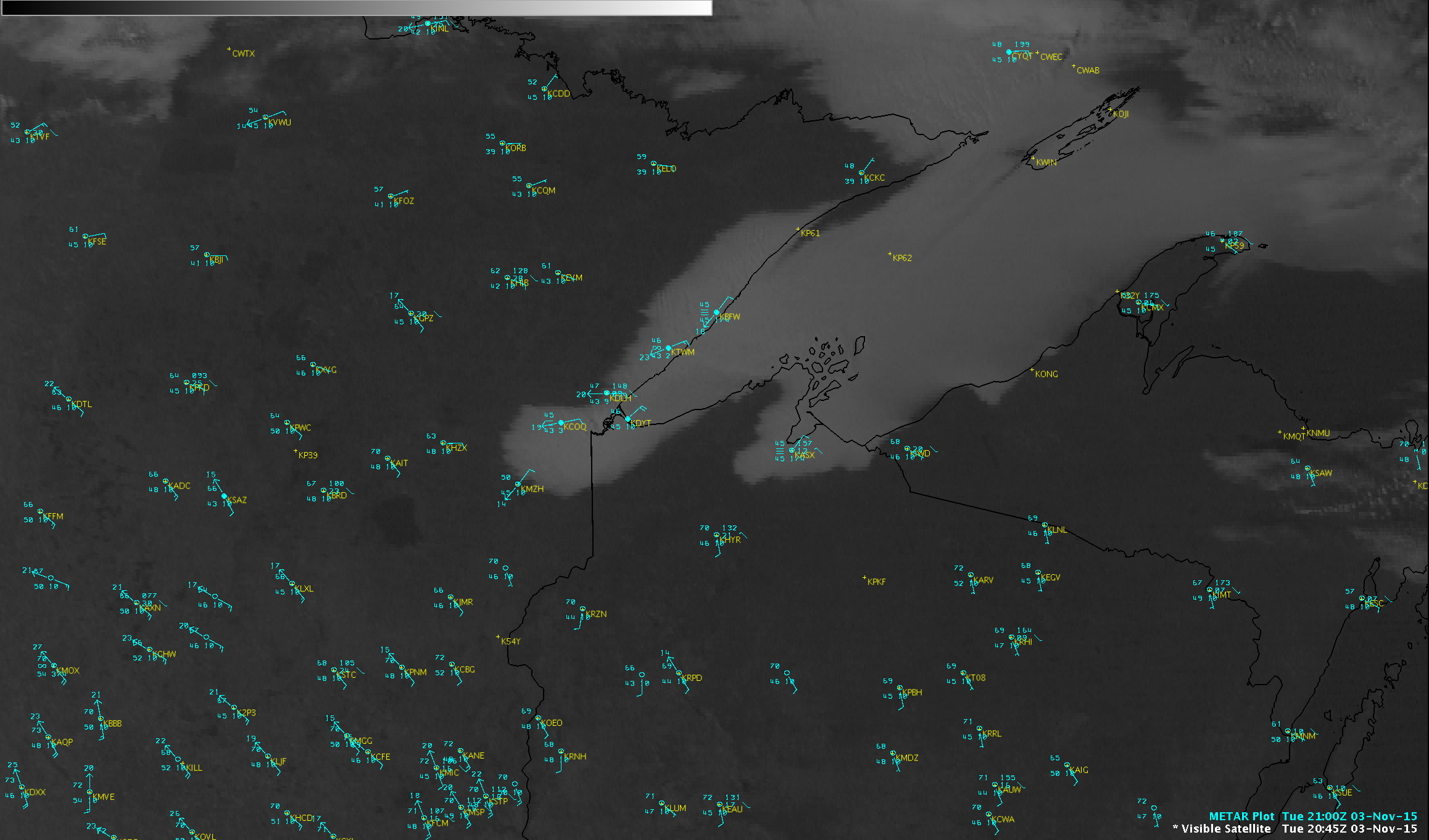
A GOES-13 Visible (0.63 µm) image
(above) showed a bank of fog and low stratus (FLS) covering much of the western portion of Lake Superior at 1600 UTC on 03 November 2015. Overlays of Metop ASCAT and Real-Time Mesoscale Analysis (RTMA) surface winds showed the long fetch of northeasterly winds that were moving this FLS feature toward the southwest; this southwestward (and eventual inland) advection could be followed on GOES-13 Visible images
(below).
![GOES-13 Visible (0.63 µm) images with METAR surface reports [click to play animation]](https://cimss.ssec.wisc.edu/satellite-blog/wp-content/uploads/sites/5/2015/11/screenCapture-20151103_204518.png)
GOES-13 Visible (0.63 µm) images with METAR surface reports [click to play animation]
A more detailed view of the FLS deck was provided by a 375-meter resolution Suomi NPP VIIRS Visible (0.64 µm) image at 1848 UTC, with overlays of METAR surface reports, RTMA surface winds, and surface frontal analysis
(below).
![Suomi NPP VIIRS Visible (0.64 µm) image with METAR surface reports, RTMA surface winds, and surface frontal analysis [click to enlarge]](https://cimss.ssec.wisc.edu/satellite-blog/wp-content/uploads/sites/5/2015/11/151103_1848utc_viirs_visible_metars_rtma_winds_fronts_anim.gif)
Suomi NPP VIIRS Visible (0.64 µm) image with METAR surface reports, RTMA surface winds, and surface frontal analysis [click to enlarge]
The GOES-R Low Cloud Thickness product shown below (derived using GOES-13 data) indicated that the maximum depth of the FLS feature was around 2200 feet
(yellow color enhancement).
![GOES-13 Low Cloud Thickness product [click to enlarge]](https://cimss.ssec.wisc.edu/satellite-blog/wp-content/uploads/sites/5/2015/11/151103_goes13_Low_Cloud_Thickness_anim.gif)
GOES-13 Low Cloud Thickness product [click to enlarge]