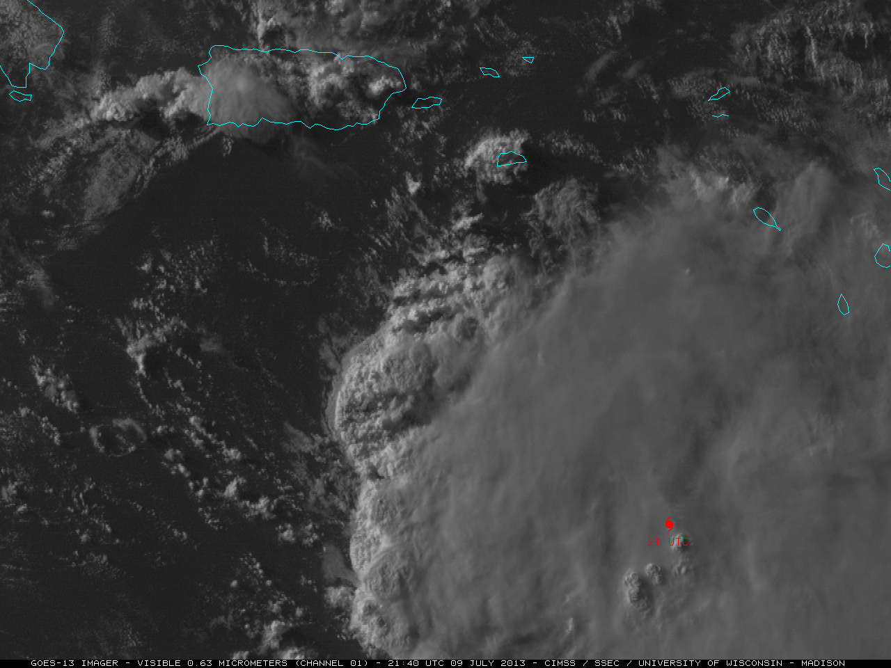
Eruption of the Tungurahua volcano in Ecuador
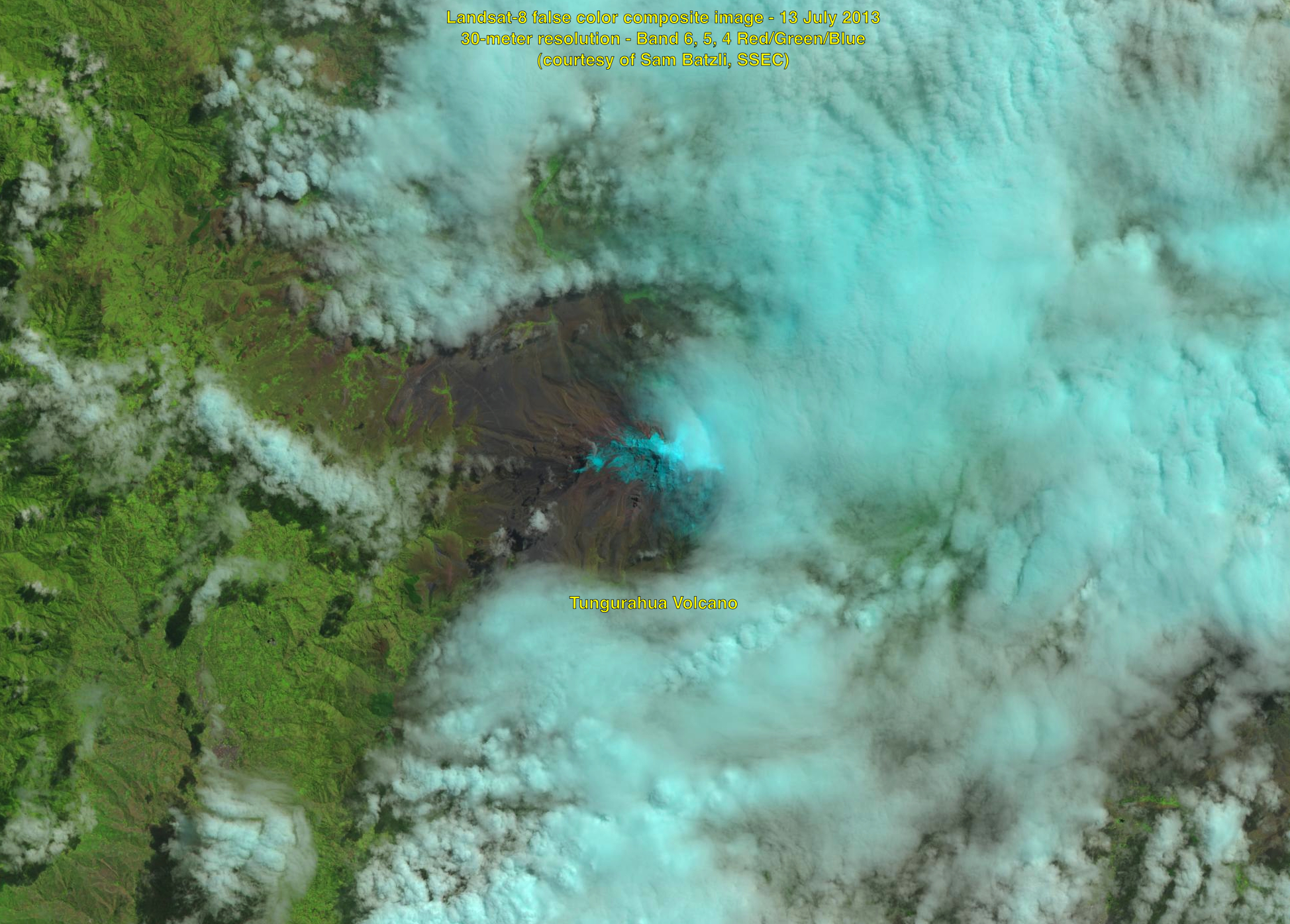
Tungurahua is an active stratovolcano in Ecuador (Wikipedia); a Landsat-8 false-color image showed the partially snow-covered dome of the volcano on 13 July 2013. On the following day, the Washington Volcanic Ash Advisory Center issued a Read More
