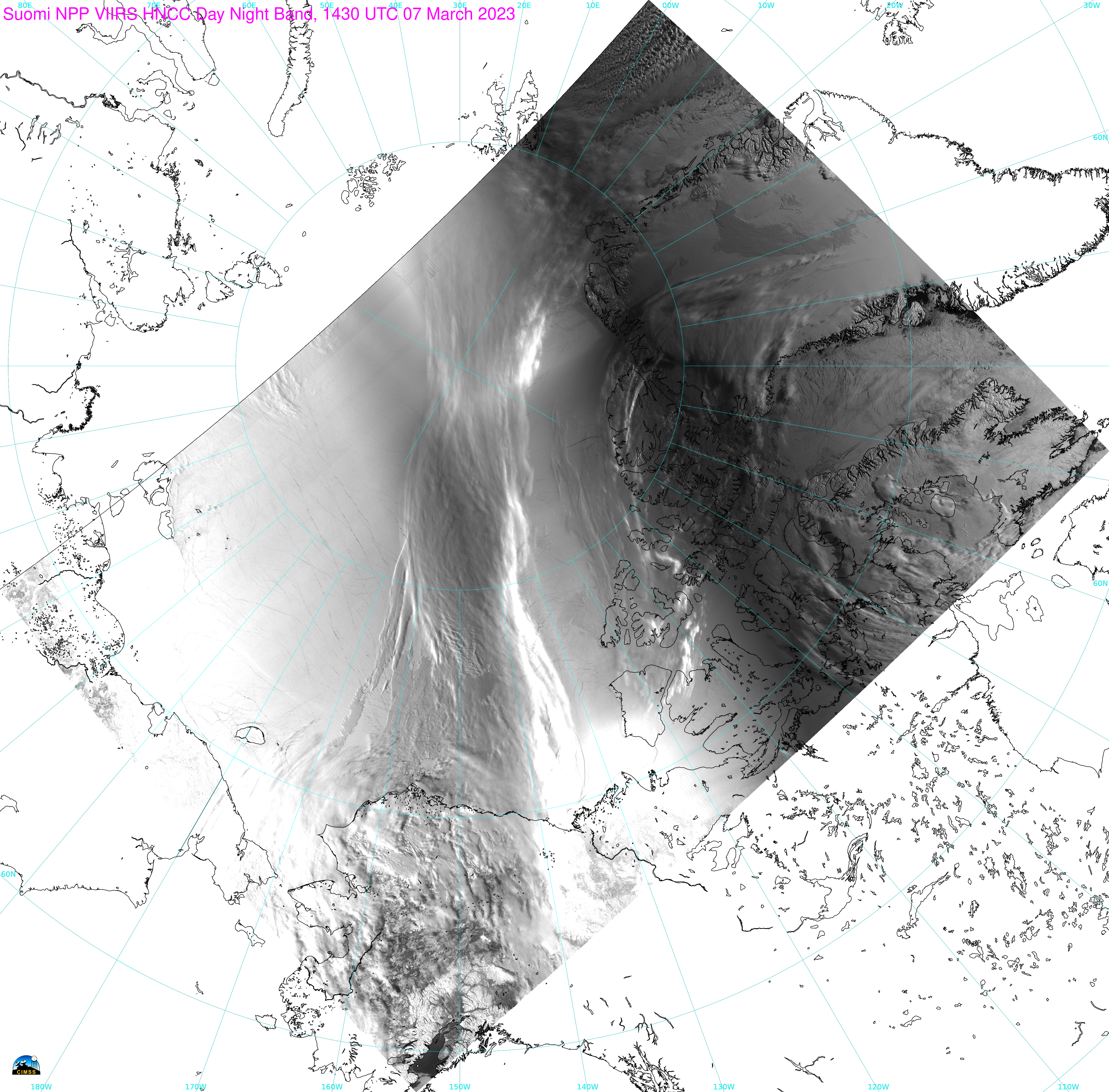
Category: VIIRS
Tropical Invest 91P south of American Samoa
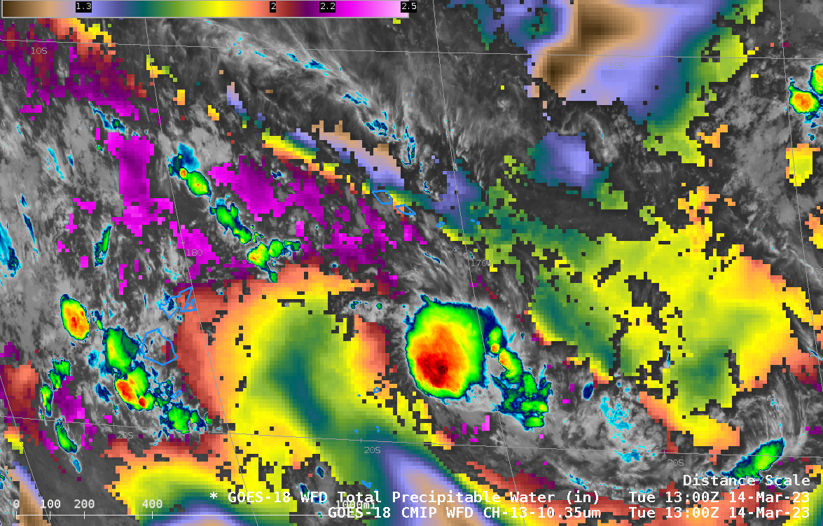
GOES-18 infrared imagery (Band 13, 10.3 µm) and derived Total Precipitable Water, above, shows tropical Invest 91P several hundred miles south of American Samoa within a corridor of moisture associated with the South Pacific Convergence Zone (SPCZ). (Note that the default color scale for Total Precipitable Water (TPW) has been... Read More
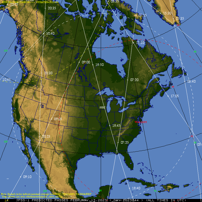
Extended JPSS ATMS/VIIRS imagery at the CIMSS Direct Broadcast site
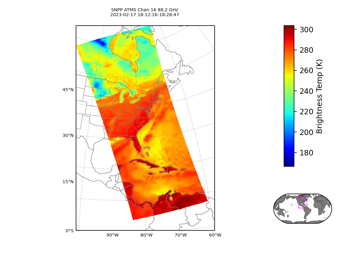
New software now in use at CIMSS combines JPSS Raw Data Records (RDRs) from Suomi-NPP or from NOAA-20, created at different direct broadcast antenna sites (for example, at CIMSS (data link for NOAA-20; data link for Suomi NPP) — and at AOML in Miami), into a single RDR that includes data that can span roughly 1/4 of a JPSS... Read More
Mid-February view of Lake Erie
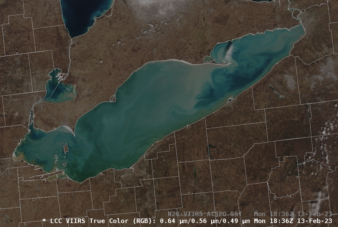
True- and False-color imagery of Lake Erie from VIIRS data on NOAA-20, above, show a Lake largely clear of ice in mid-February (!). Cyan colors in the False-color imagery do suggest lake ice along the northern shore of Erie, however, to the east of Kingsville Ontario, and to the east of... Read More
