Displaying JPSS data from the NODD using Polar2Grid
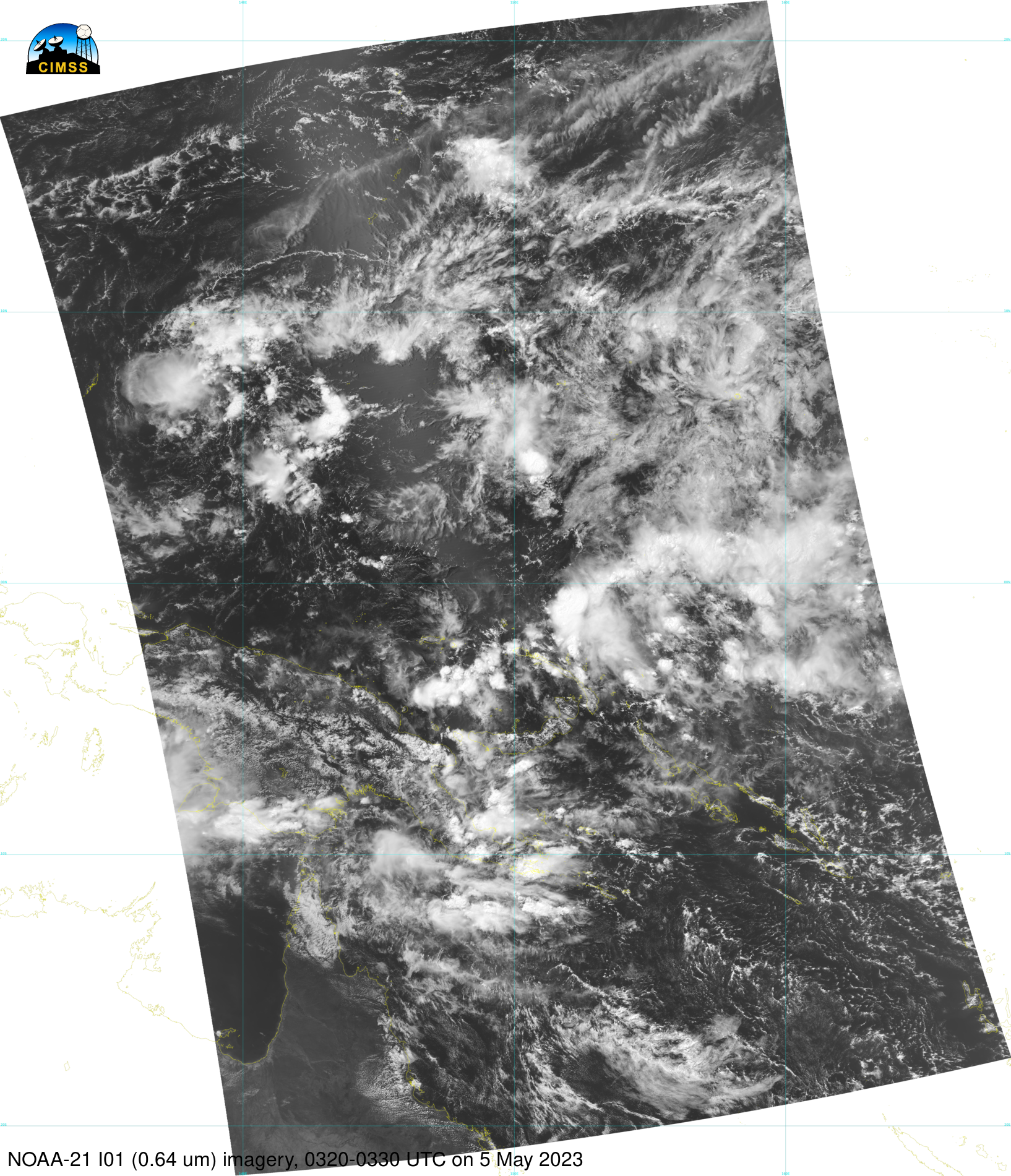
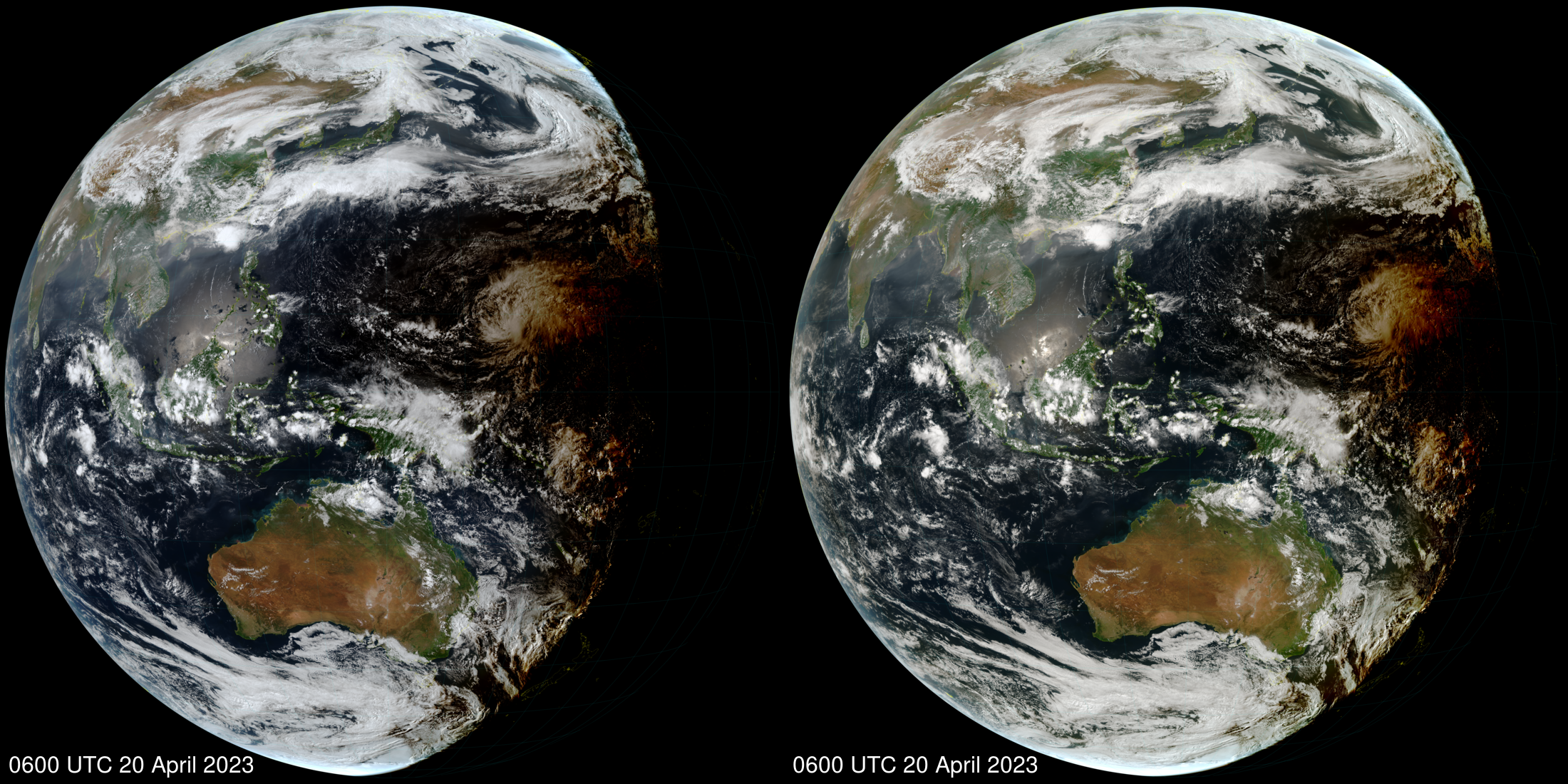
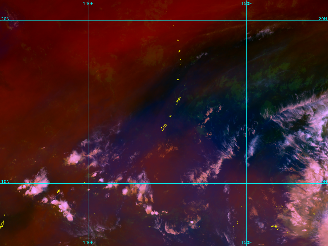
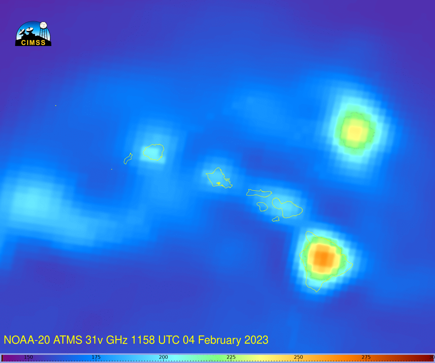
Joint Polar Satellite System (JPSS) data are now available online as part of the NOAA Open Data Dissemination (NODD) Program; at present, the data are available via Amazon Web Services (with future capabilities planned for Azure and Google). Global Suomi-NPP, NOAA-20 and NOAA-21 data (including Sensor Data Records (SDRs) and Environmental Data Records (EDRs)... Read More