The King Fire in California
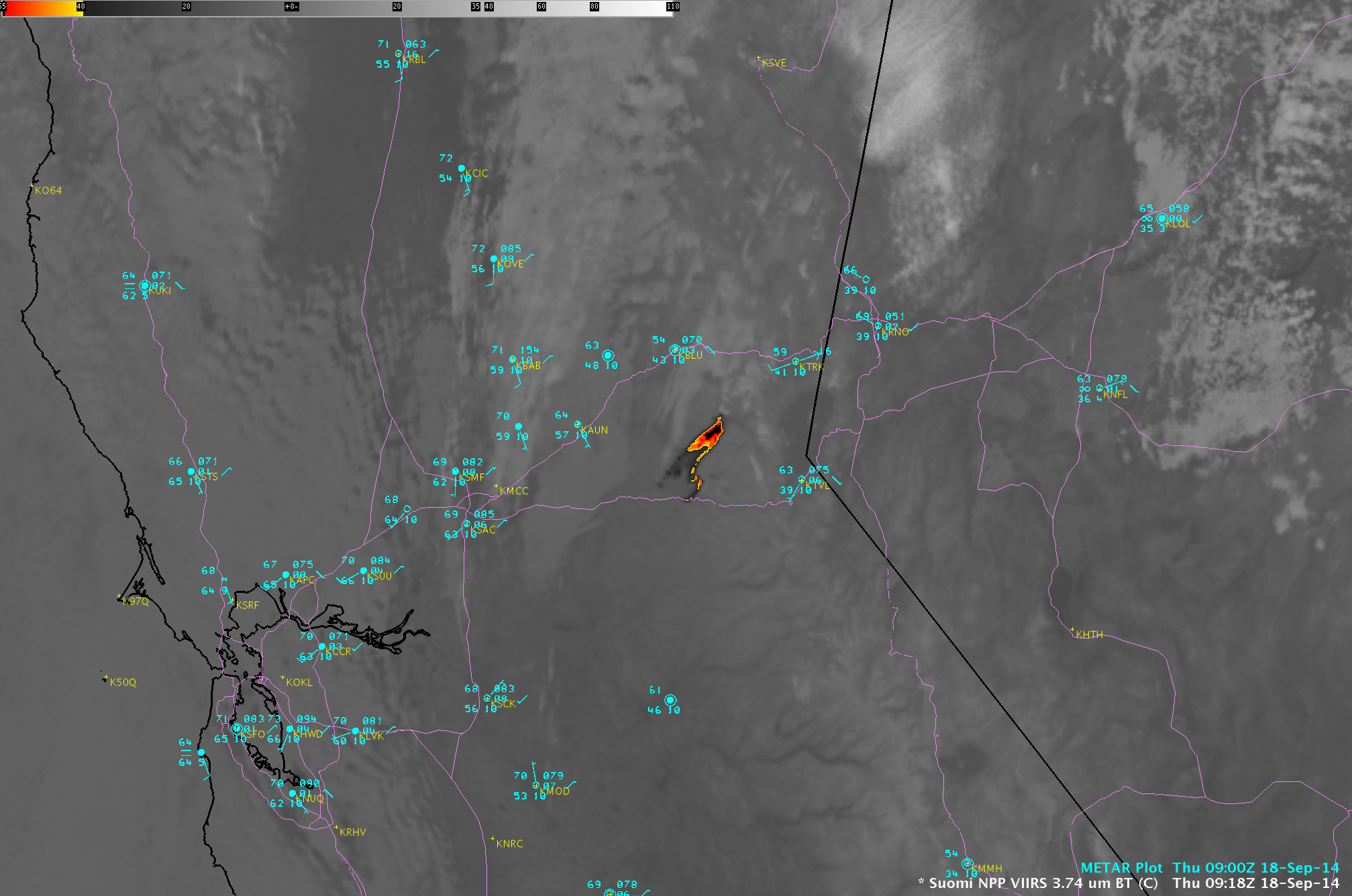
The King Fire began burning in central California (between Sacramento and Lake Tahoe) during the evening hours on 13 September 2014. A sequence of daily (12-19 September) Suomi NPP VIIRS true-color Red/Green/Blue (RGB) images from the SSEC RealEarth web map... Read More
