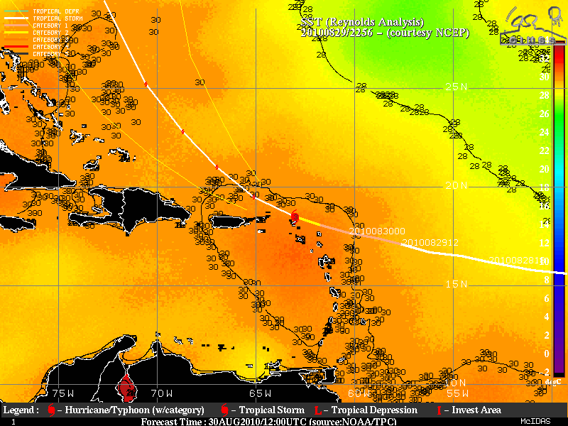
Hurricane Earl produces a low-level outflow boundary
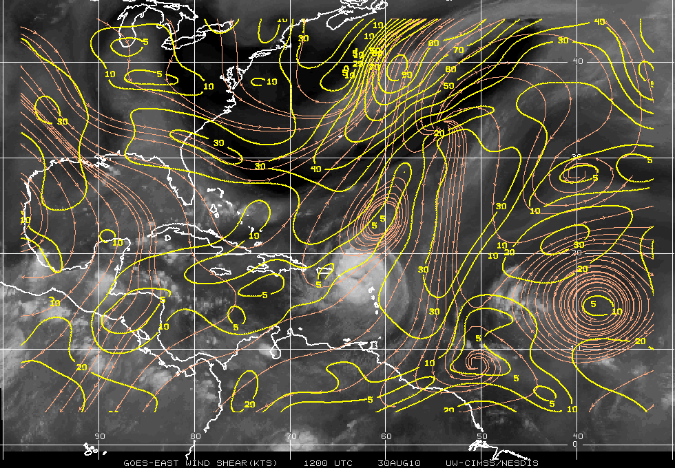
Evidence of a large region of mid-tropospheric dry air on AWIPS images of GOES-13 6.5 µm “water vapor channel” data (above; also available as a QuickTime movie) in tandem with an increase in Read More
