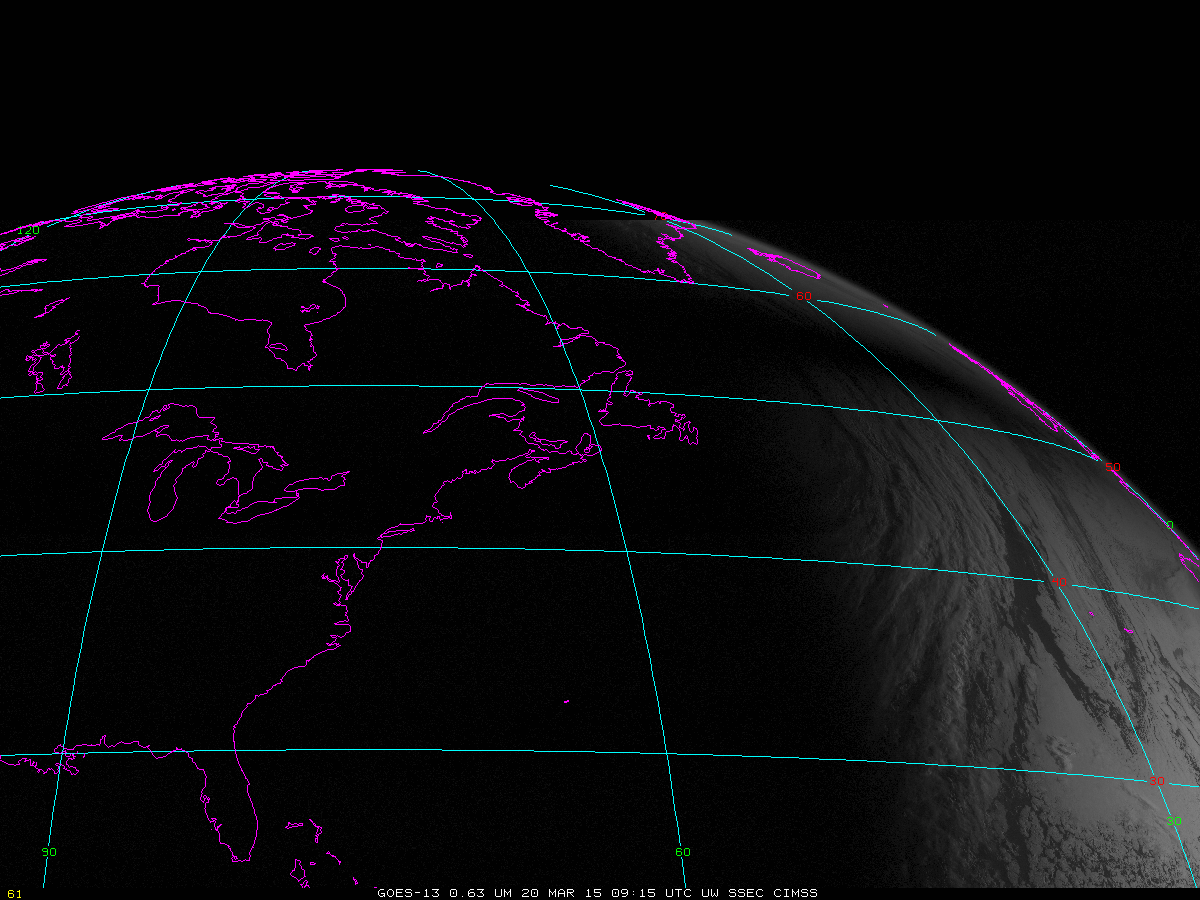
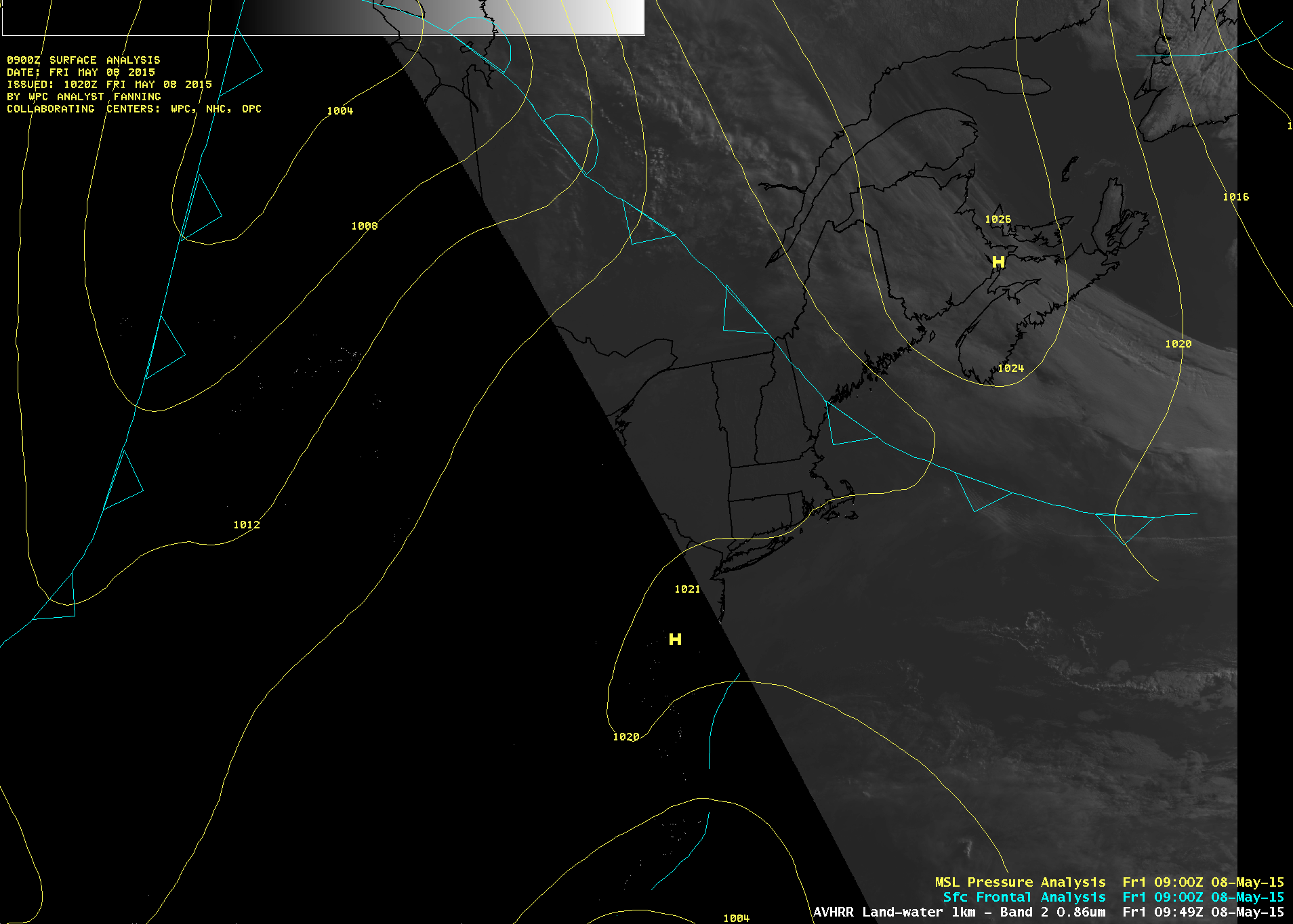
Atmospheric Bore between the Grand Banks and New England

Atmospheric Bores form in stable air and create horizontal cloud bands that propagate perpendicular to the along-band direction. The feature seen above in GOES-13 visible imagery formed in stable air south of a High Pressure system that pushed a backdoor cold front into New England (surface analyses). The southern edge of... Read More
