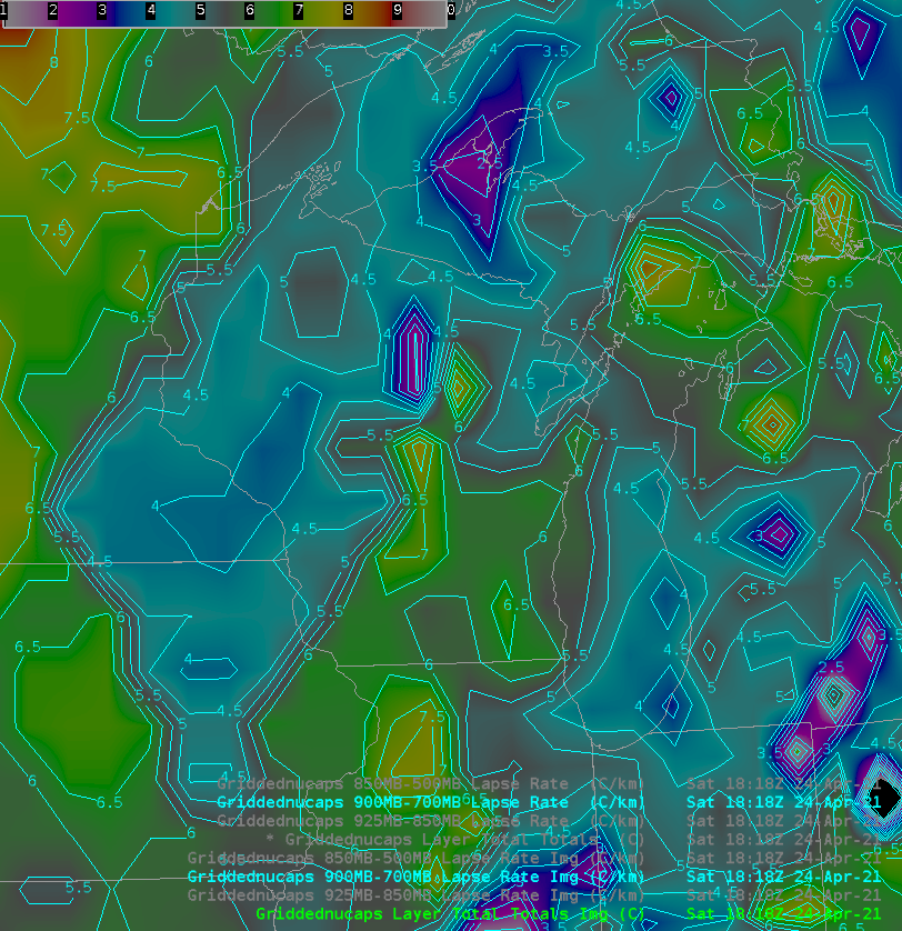
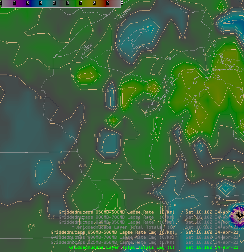
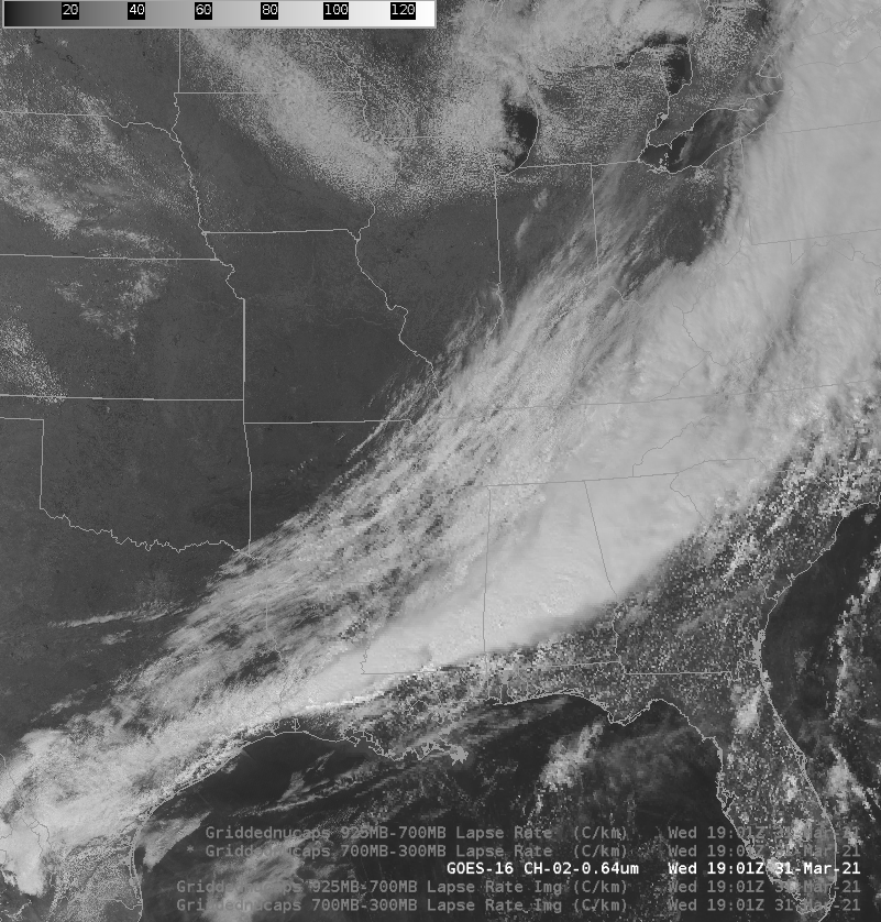
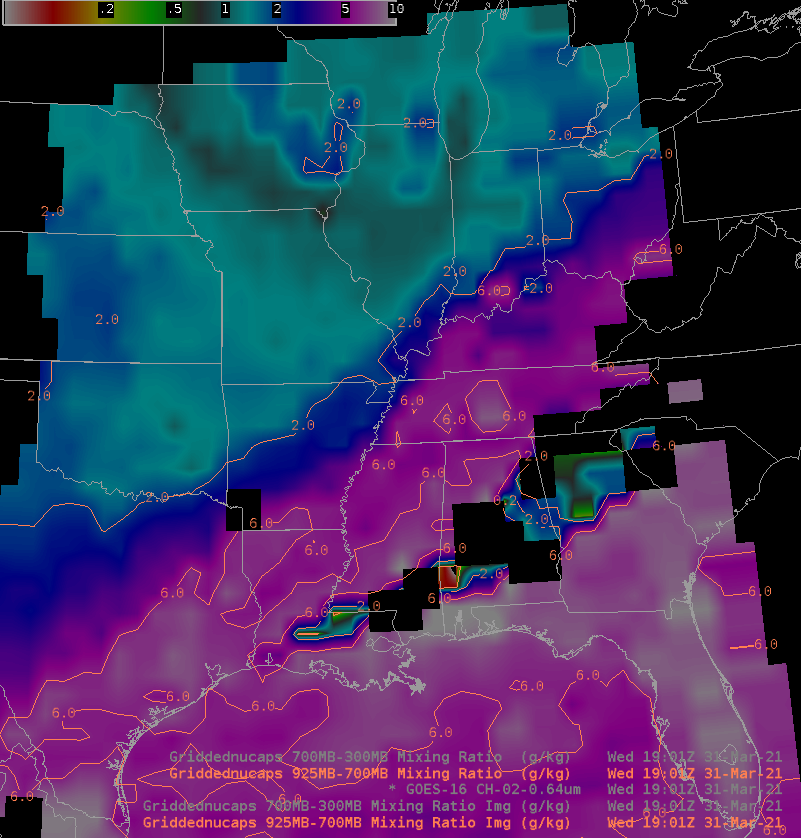
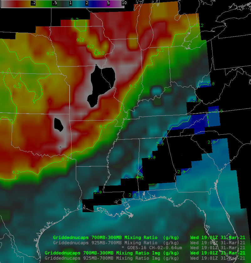
This website works best with a newer web browser such as Chrome, Firefox, Safari or Microsoft Edge. Internet Explorer is not supported by this website.

Category: NUCAPS

Using NUCAPS to help nowcast Midwest convection

The NOAA Storm Prediction Center’s Convective Outlook (graphic) from 1630 UTC 23 May 2020 shows an enhanced risk of Severe Thunderstorms in northern Illinois with a sharp cutoff in probabilities to the north in southern Wisconsin. The imagery above shows the GOES-16 ABI Band 2 (0.64 µm) visible imagery (click... Read More

Tropical Moisture moving into Florida

GOES-16 Clean Window imagery from 1800 UTC on 7 May 2020, above, suggests a frontal zone from the central Atlantic southwestward through the Florida Straits.  What products can be used to diagnose the moisture differences between the dry airmass over the southeast United States/Florida and the far moister airmass over... Read More

Derecho causing severe weather from the Midwest to the Mid-South

1-minute Mesoscale Domain Sector GOES-16 (GOES-East) “Red” Visible (0.64 µm) images (above) showed a long-lived Mesoscale Convective System (MCS) or derecho that produced a swath of large hail and damaging winds (SPC Storm Reports | NWS Nashville) from eastern Kansas to central Tennessee, northern Mississippi and northern Alabama on 03 May 2020.The corresponding GOES-16 “Clean” Infrared Window (10.35 µm)... Read More