This website works best with a newer web browser such as Chrome, Firefox, Safari or Microsoft Edge. Internet Explorer is not supported by this website.

Category: Microwave

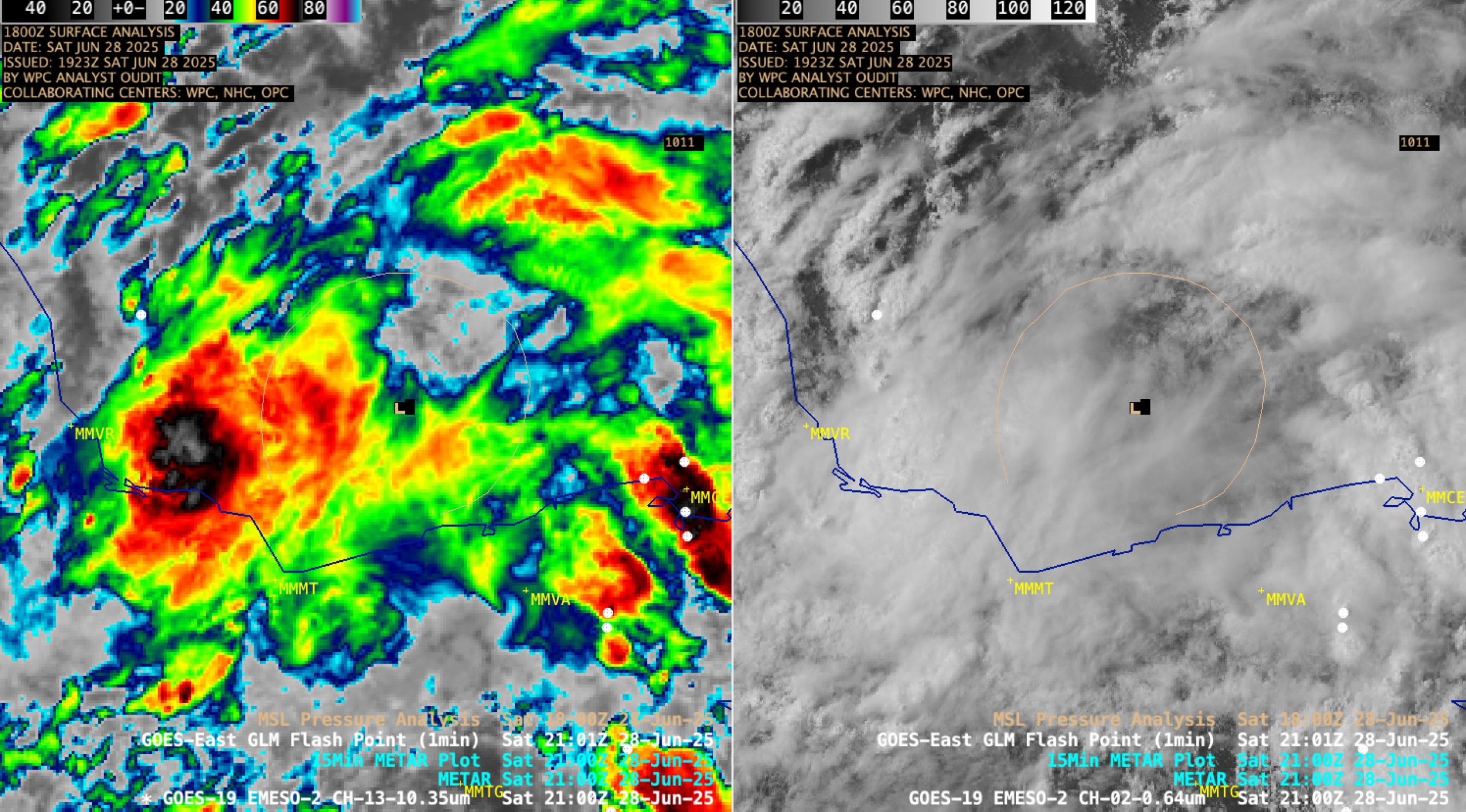
Tehuano wind event

GOES-18 (GOES-West) and GOES-16 (GOES-East) True Color RGB images from the CSPP GeoSphere site (above) showed hazy arcs of blowing dust lofted by Tehuano gap winds that emerged from the south coast of Mexico — which spread out across the Gulf of Tehuantepec and the adjacent waters of the Pacific Ocean... Read More

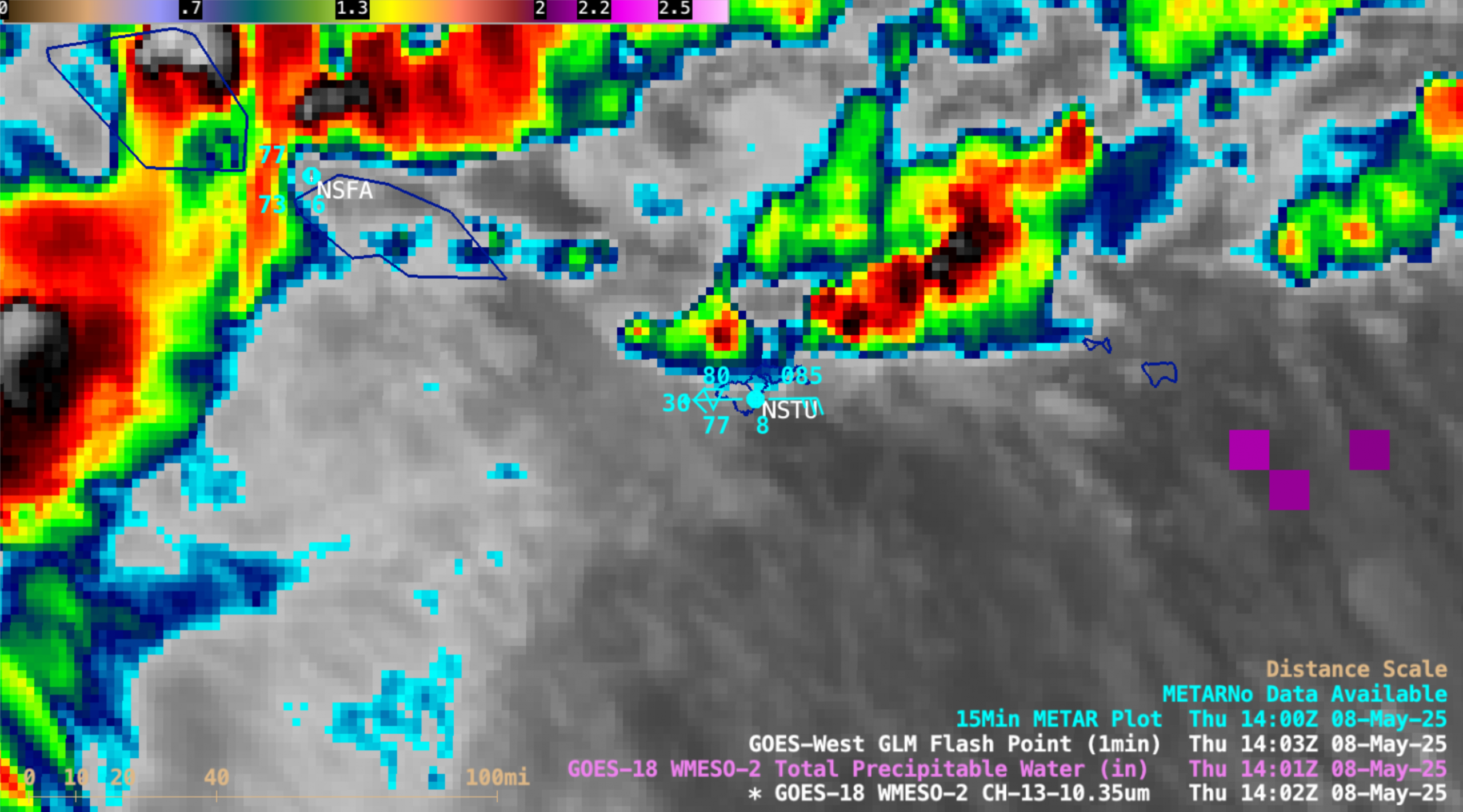
Microwave and infrared estimates of rainfall

In regions without radar, satellite estimates of rainfall intensity are vital in understanding precipitation. Microwave estimates have an advantage in that microwave energy is not strongly affected by clouds, so the internal structure of the cloud that can affect rainfall distribution can be detected. (However, microwave data has poorer spatial... Read More

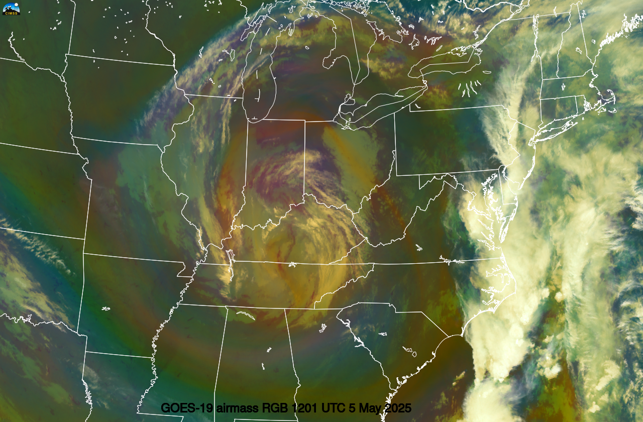
Heavy rainfall across Hawai`i (along with a Severe Thunderstorm Warning and a Tornado Warning)

10-minute Full Disk scan GOES-18 (GOES-West) “Clean” Infrared Window (10.3 µm) + Total Precipitable Water (TPW) images (above) showed the colder clouds associated with rain showers (with isolated embedded thunderstorms) and the clear-sky TPW field in the vicinity of Hawai`i during the 08-09 January 2024 time period. Surface analyses depicted a cold frontal boundary — which became more... Read More

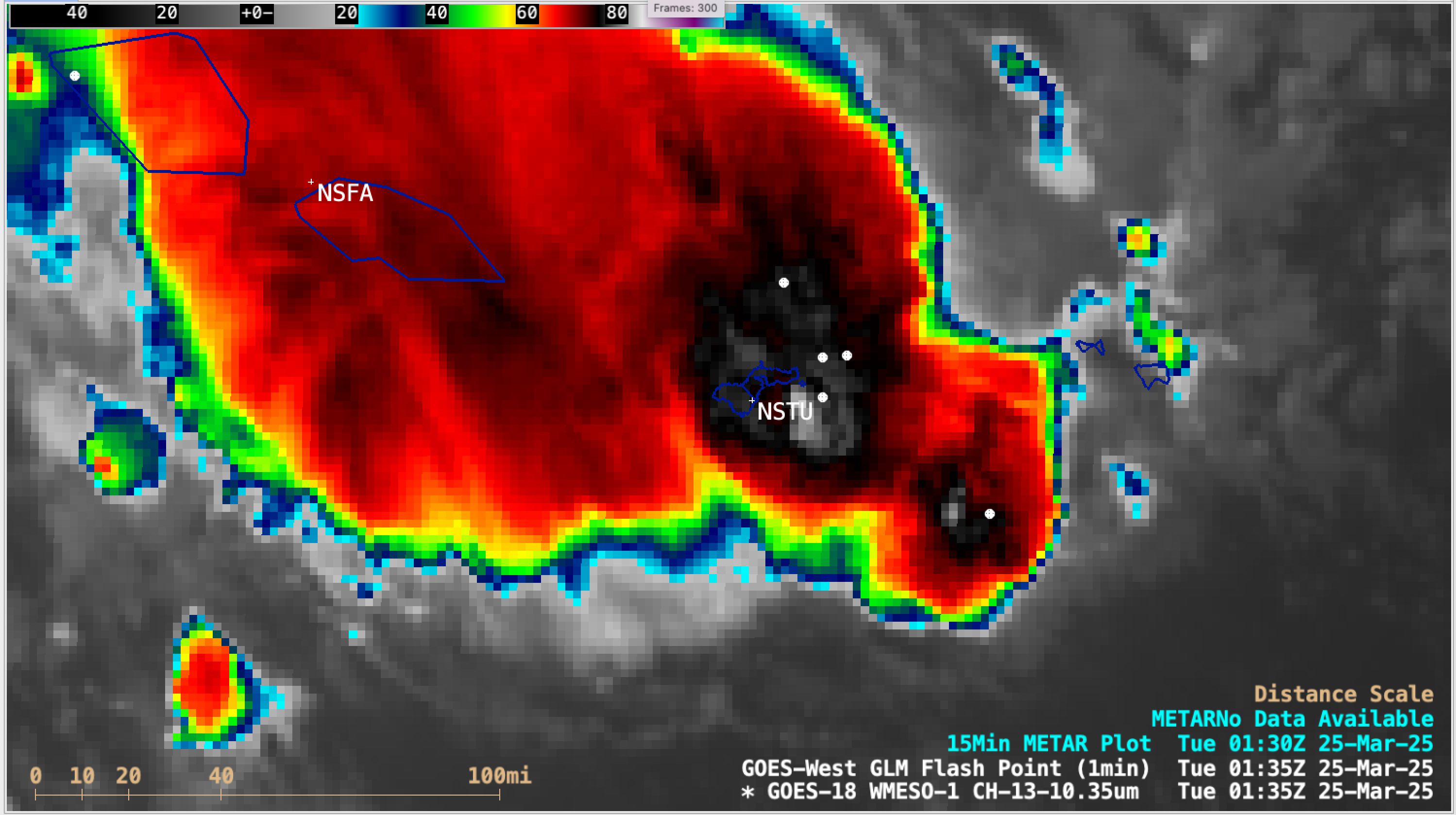
Wet weather continues in Samoa

MIMIC Total Preciptable Water (TPW) Fields (from this site), below, for the 24 hours ending 1300 UTC on 26 December 2023, show the Samoan Islands (at 13-14oS, ~172oW) in the middle of the South Pacific Convergence Zone (SPCZ) that stretches east-southeastward across the South Pacific. Pago Pago has received more than 20″... Read More