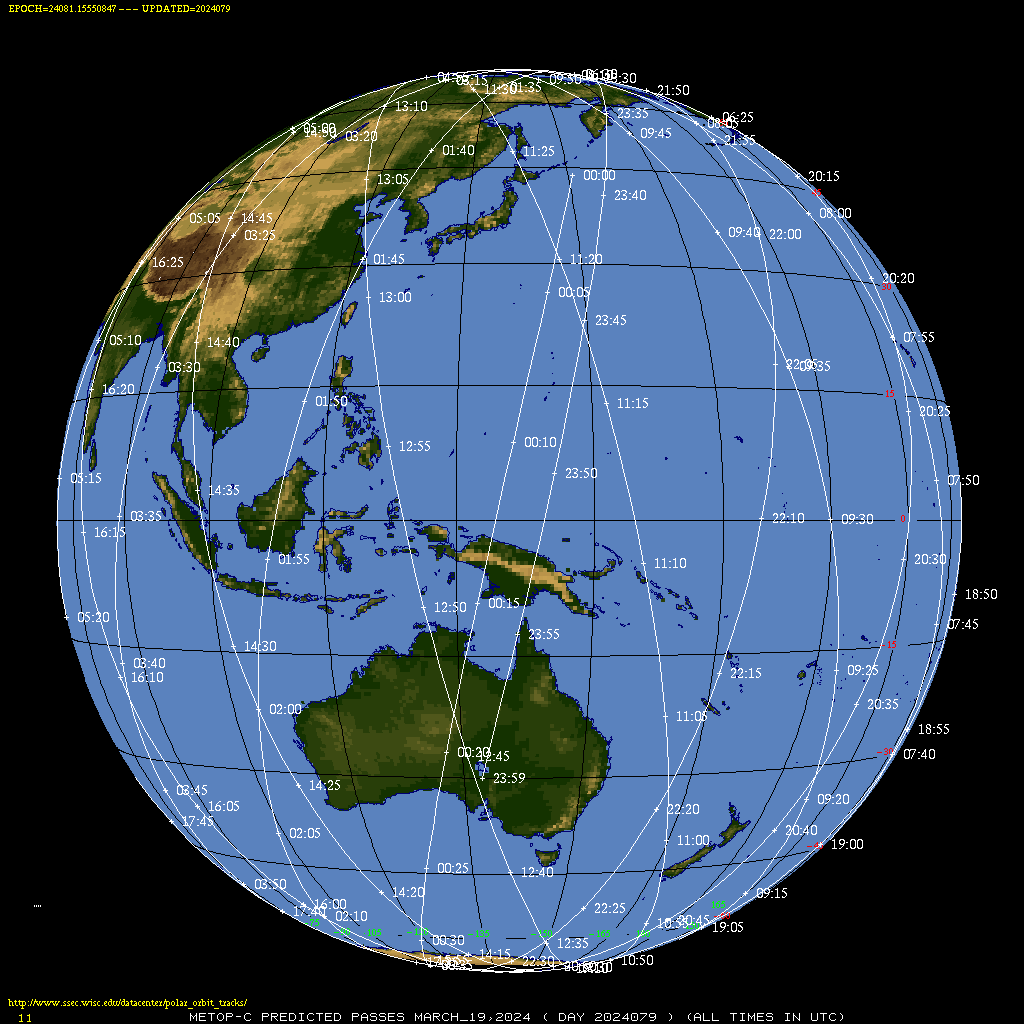
NUCAPS Profiles over Guam
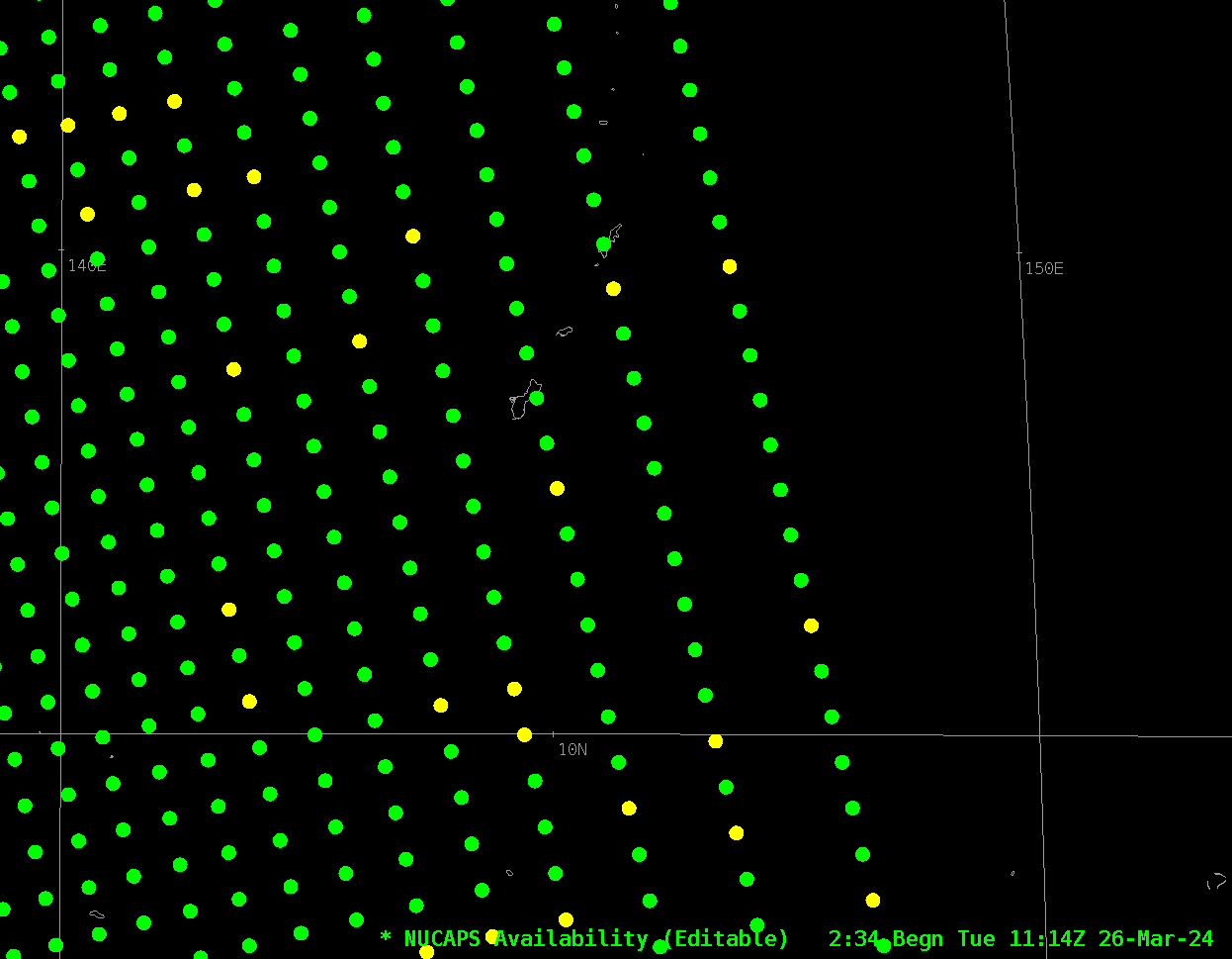
The addition of a 2nd satellite (MetopC) producing NUCAPS profiles means that places such as Guam have twice as much Satellite information over the otherwise data-sparse western Pacific Ocean. The three-panel above shows the 1200 UTC sounding at Guam (on the left) with a nearly coincident 1208 UTC NUCAPS profile... Read More
