This website works best with a newer web browser such as Chrome, Firefox, Safari or Microsoft Edge. Internet Explorer is not supported by this website.

Category: LightningCast

Predicting lightning initiation with AI

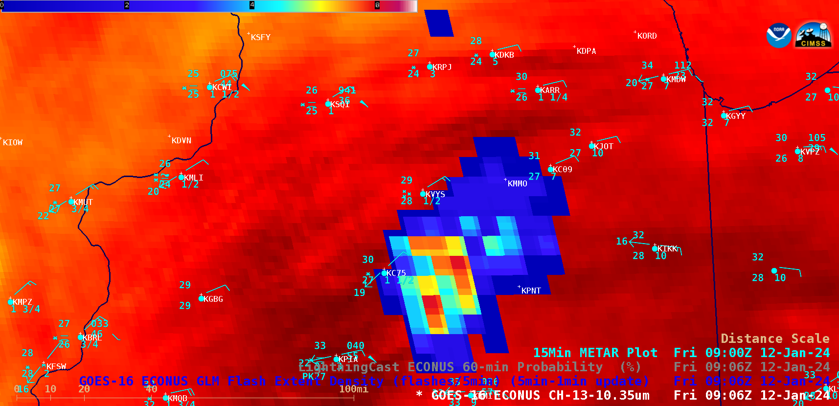
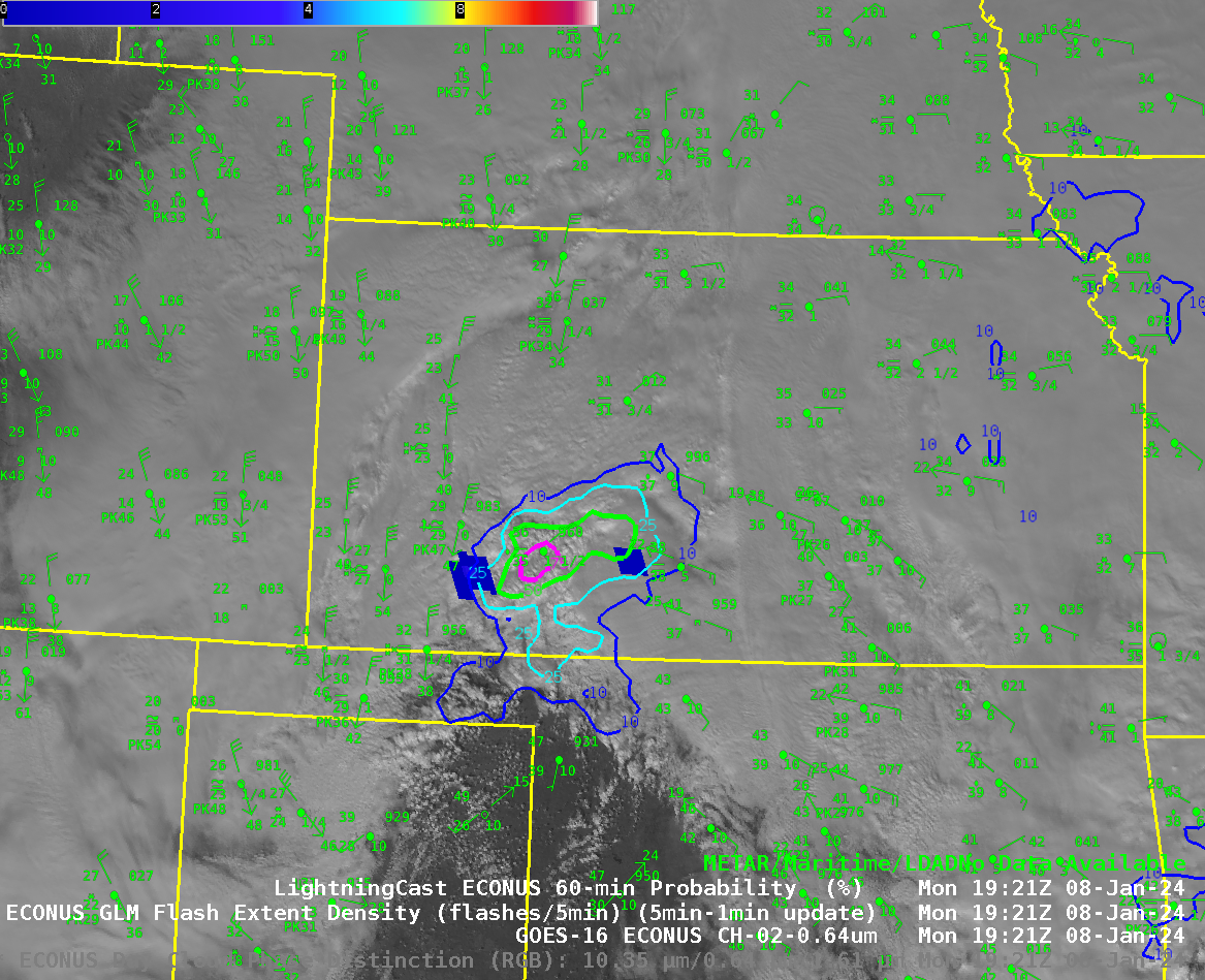
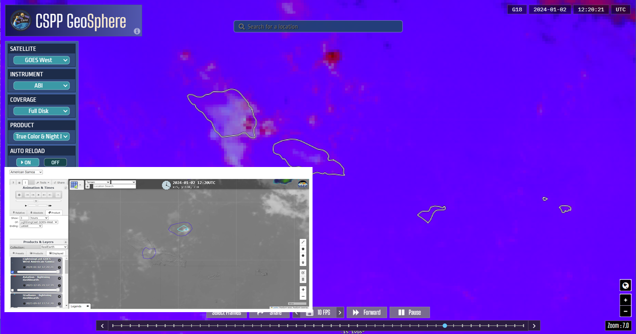
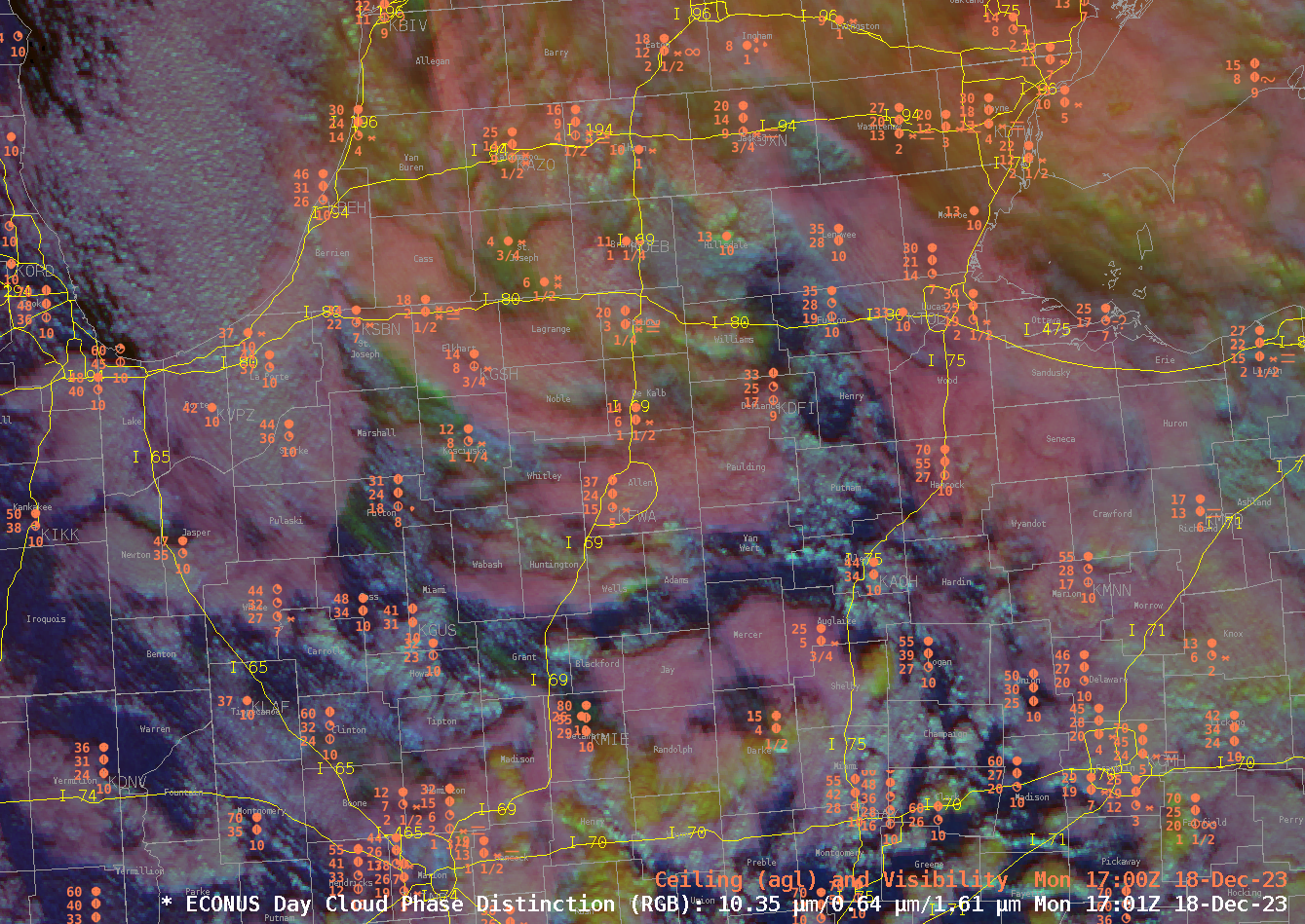
The NOAA/CIMSS ProbSevere LightningCast model uses GOES-R ABI reflectances and brightness temperatures along with artificial intelligence methods to predict next-hour lightning anywhere in the GOES-R field of view. It is particularly adept at nowcasting lightning initiation. A long, potent cold front spawned a number of storms from Iowa to Texas today... Read More

Morning storms in central Texas

A mid-level atmospheric wave with subtle warm-air advection forced some strong thunderstorms in central Texas this morning. The operational high-resolution convection-allowing NWP models did not handle these storms well at all. ProbSevere LightningCast, an image-based AI model, picked up on the rapidly growing convection about 15-20 minutes before lightning initiation. LightningCast... Read More

LightningCast Probability and a GLM lightning jump preceding a Tornado Warning issued by NWS Los Angeles

1-minute Mesoscale Domain Sector GOES-18 (GOES-West) “Red” Visible (0.64 µm) and “Clean” Infrared Window (10.3 µm) images (above), with and without an overlay of GLM Flash Extent Density, showed convection moving onshore in Southern California during the late morning hours on 24 February 2023 — which prompted NWS Los Angeles to issue a Tornado Warning at 1807... Read More