Landsat-8 Imagery
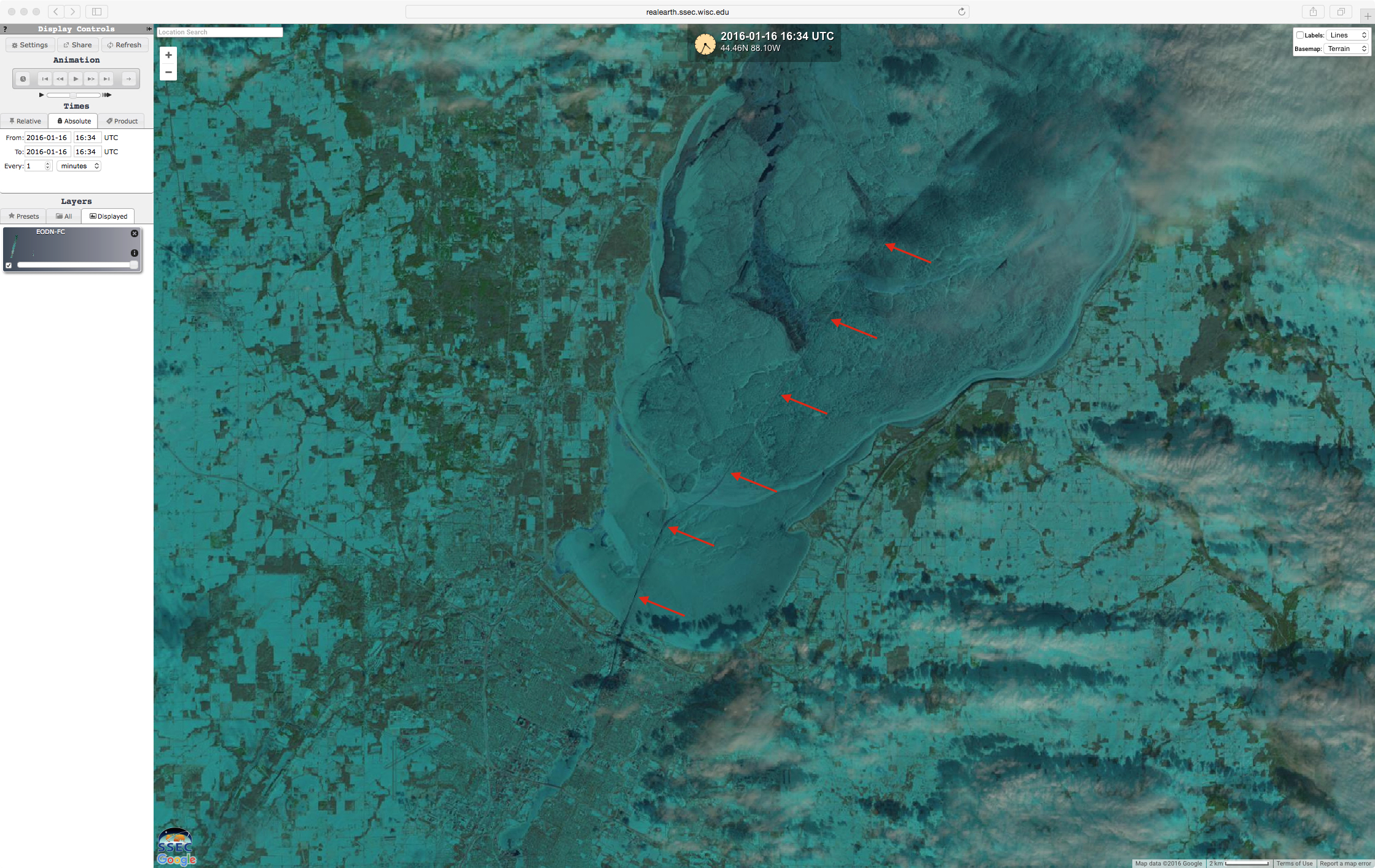
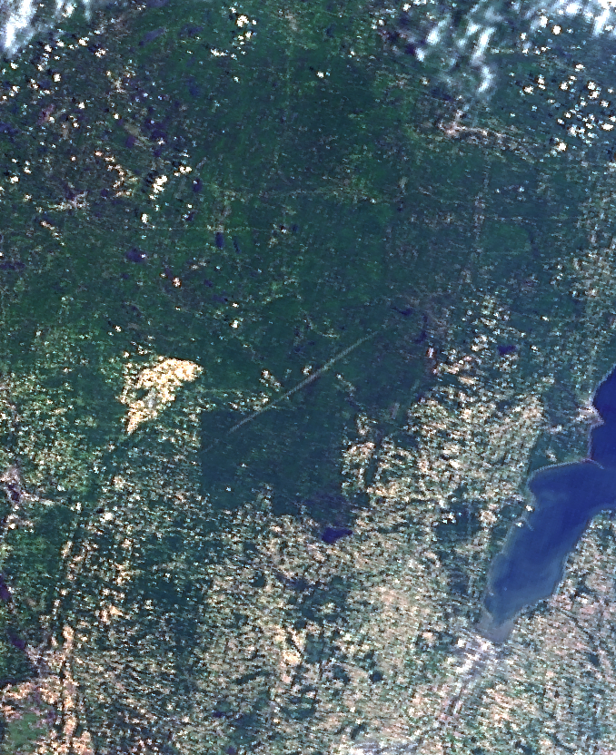
Landsat-8 imagery — with a spatial resolution of 15 to 30 meters — is available for viewing via the SSEC RealEarth web map server. An example of a swath of false-color Red/Green/Blue (RGB) imagery across the central US between the times of 1630-1640 UTC on 16 January 2016 is shown above. Snow cover and... Read More

/na2016_01_16_016.gif)