Rapidly-melting snow in the south-central US
GOES-13 (GOES-East) 0.63 µm visible channel images (above; click image to play animation; also available as an MP4 movie file) showed how rapidly the streaks and patches of snow cover melted across parts of the south-central US (primarily Kansas, Oklahoma, Texas, and adjacent states) on 05 March 2015. According to NOHRSC, morning snow depths (contour map | numerical snow depth values) were generally in the 2-4 inch range, with some sites reporting 5 inches on the ground.
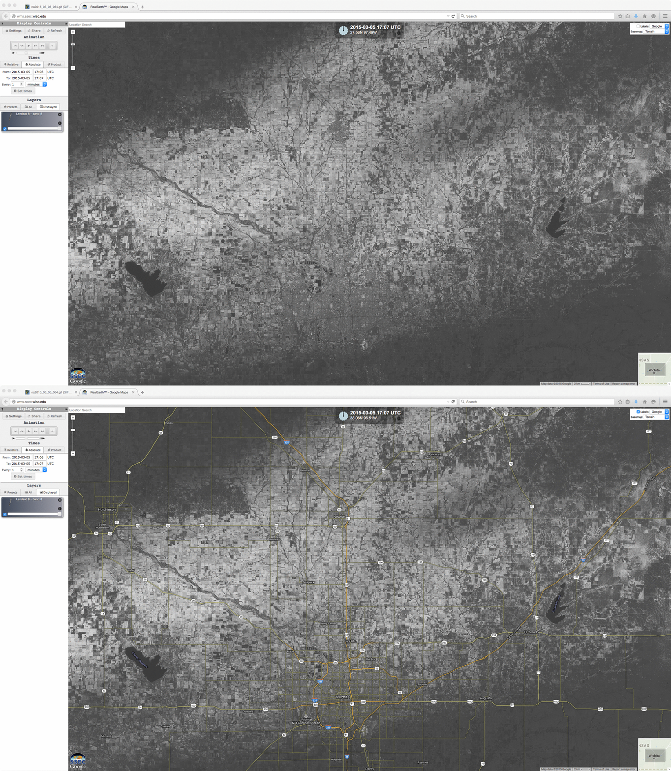
The narrow snow band in Kansas went through the Witchita area; a 15-meter resolution Landsat-8 0.59 µm panochromatic visible image from the SSEC RealEarth web map server (below) provided a very detailed view of the snow cover in that area.


