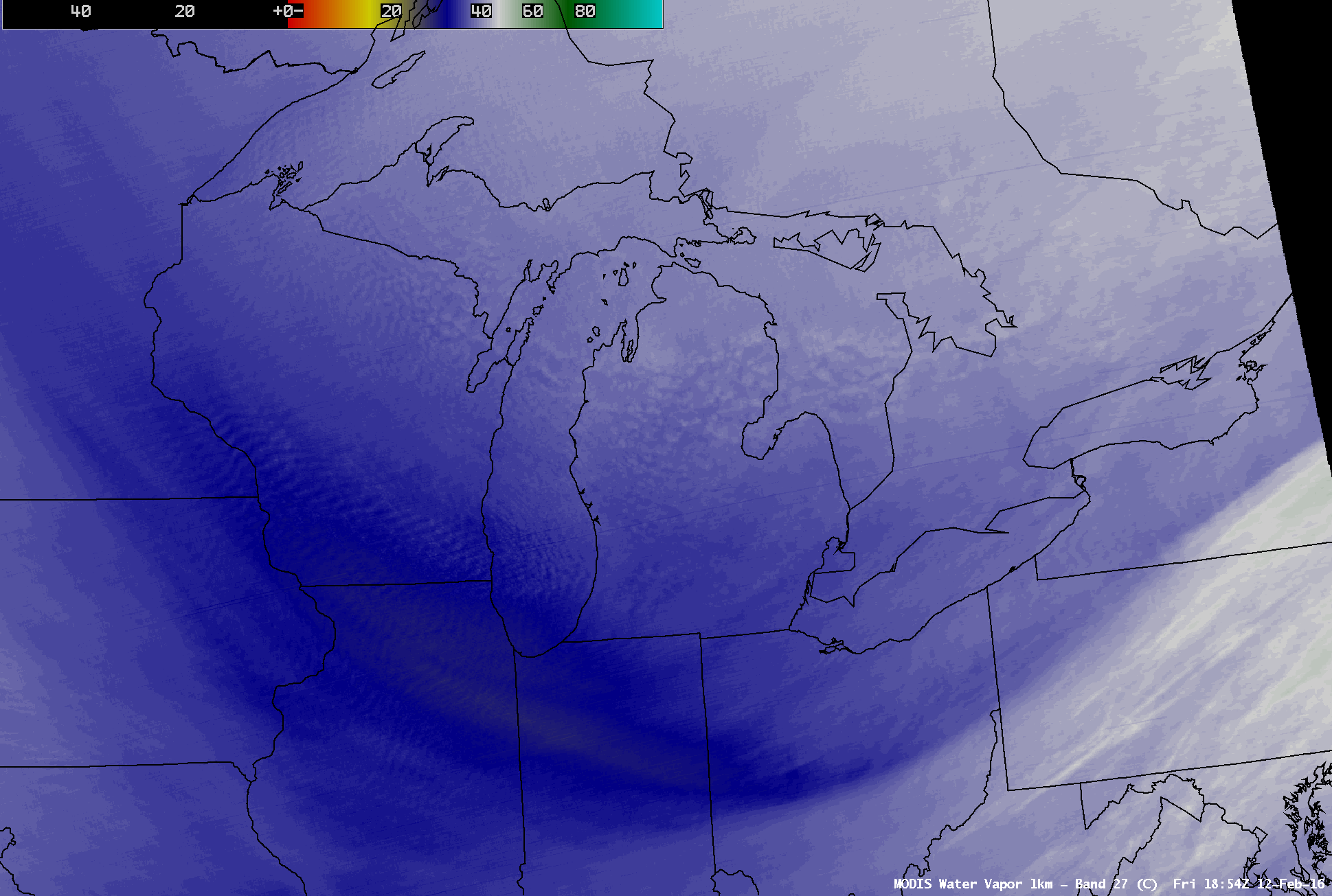
Lake effect snow bands seen in water vapor imagery

GOES-13 Visible (0.63 µm, 1-km resolution) images (above) showed the development of lake effect snow bands across the Great Lakes region following the passage of a strong arctic cold front on 12 February 2016. As a result of the atmospheric instability (due to the advection of very cold air aloft), several distinct... Read More


