Some satellite signatures of Winter remaining on 01 April
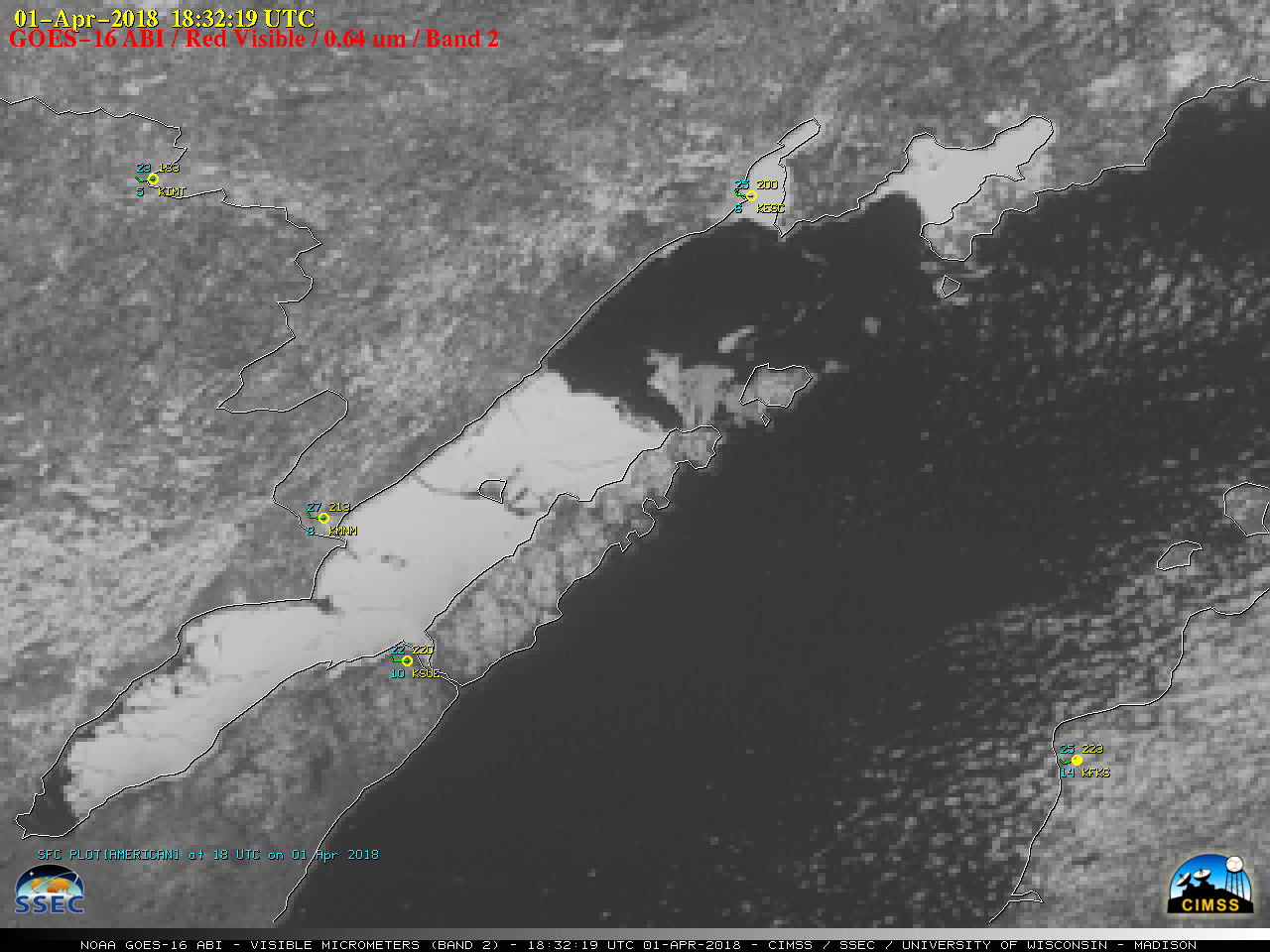
Some remnant signatures of Winter could be seen on 01 April 2018 — the first were seen on GOES-16 (GOES-East) GOES-16 “Red” Visible (0.64 µm) and Near-Infrared “Snow/Ice (1.61 µm) over North Dakota and South Dakota, in the form of snow cover and snow/ice on parts of the Missouri River (above). With the high... Read More