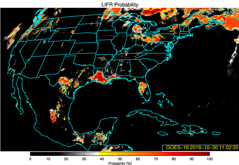
Fog/stratus dissipation in southern Louisiana

The topic of a conversation on Twitter, GOES-16 (GOES-East) “Red” Visible (0.64 µm) images (above) revealed curious circular areas of fog/stratus dissipation across southern Louisiana on the morning of 30 October 2018. — making it a natural candidate for the “What the heck is this?” blog category.GOES-16 GEOCAT Low IFR Probability and... Read More


