This website works best with a newer web browser such as Chrome, Firefox, Safari or Microsoft Edge. Internet Explorer is not supported by this website.

Category: GOES-16

Stereoscopic views of Milton on October 8

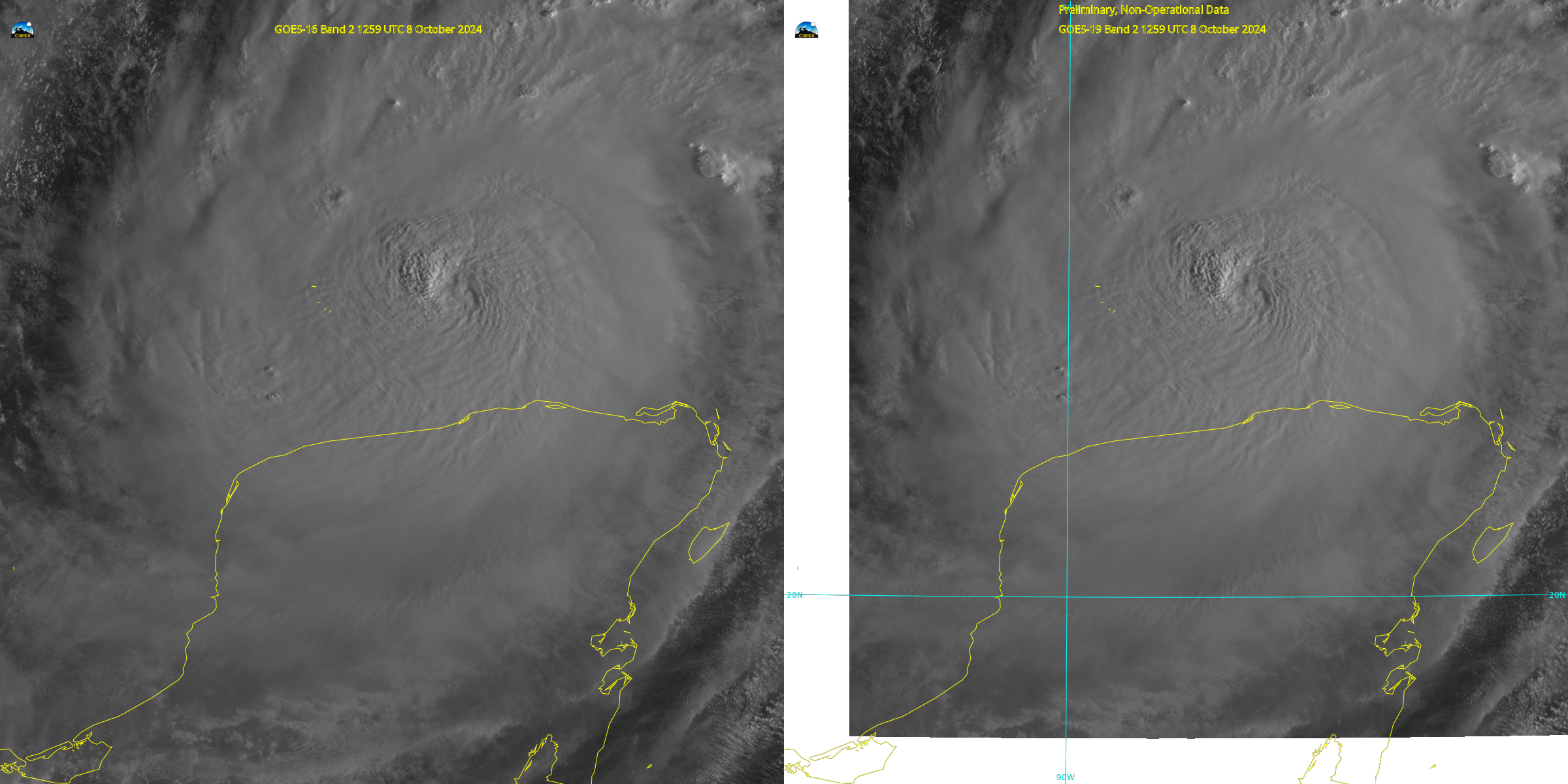
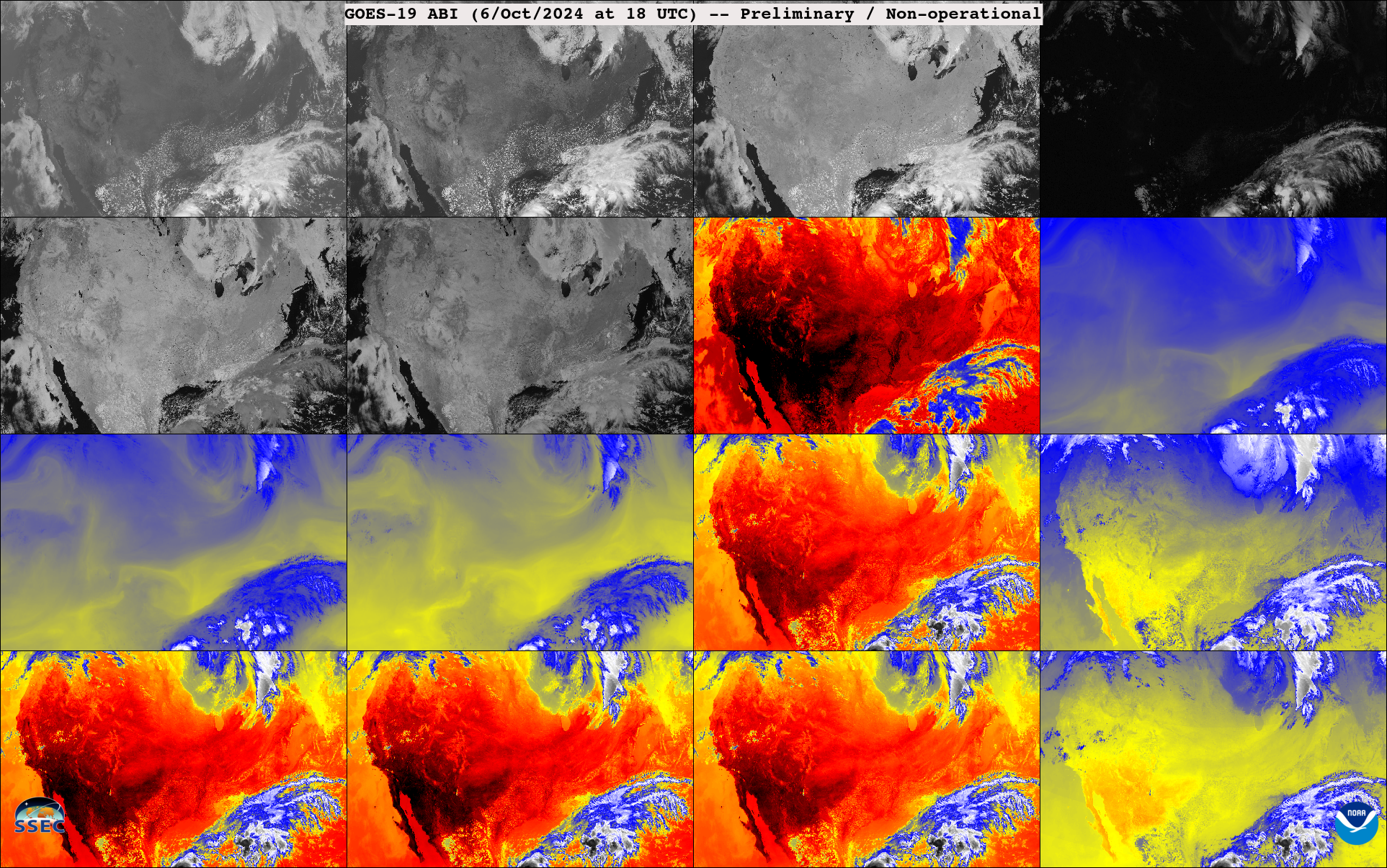
GOES-19 is at its post-launch check-out location over the Equator at 89.5oW and GOES-16, as GOES-East is over the Equator at 75.2oW. Mesoscale sectors from both satellites were positioned over the eye of Milton up until about 1330 UTC; subsequent to that time, GOES-19 calibration exercises meant that mesoscale scanning... Read More

Milton in the Gulf of Mexico

Visible imagery over Hurricane Milton after sunrise on 7 October, above, shows a compact system about 100 miles northwest of the Yucatan Peninsula. The predicted track of the storm center is superimposed on the imagery. Note that Milton’s sustained winds at 1500 UTC, 135 knots, represents an 80-knot increase over... Read More

NOAA’s Birthday

NOAA was formed on October 3, 1970. To commemorate this date, a few GOES related figures. GOES has been around since 1975, although there were earlier non-operational versions operated by NASA, such as ATS.H/TThese GOES-19 ABI are early images (preliminary and non-operational), beta stage. Both McIDAS-X and geo2grid software was used in... Read More