30-second images of the NASA/Boeing Starliner launch
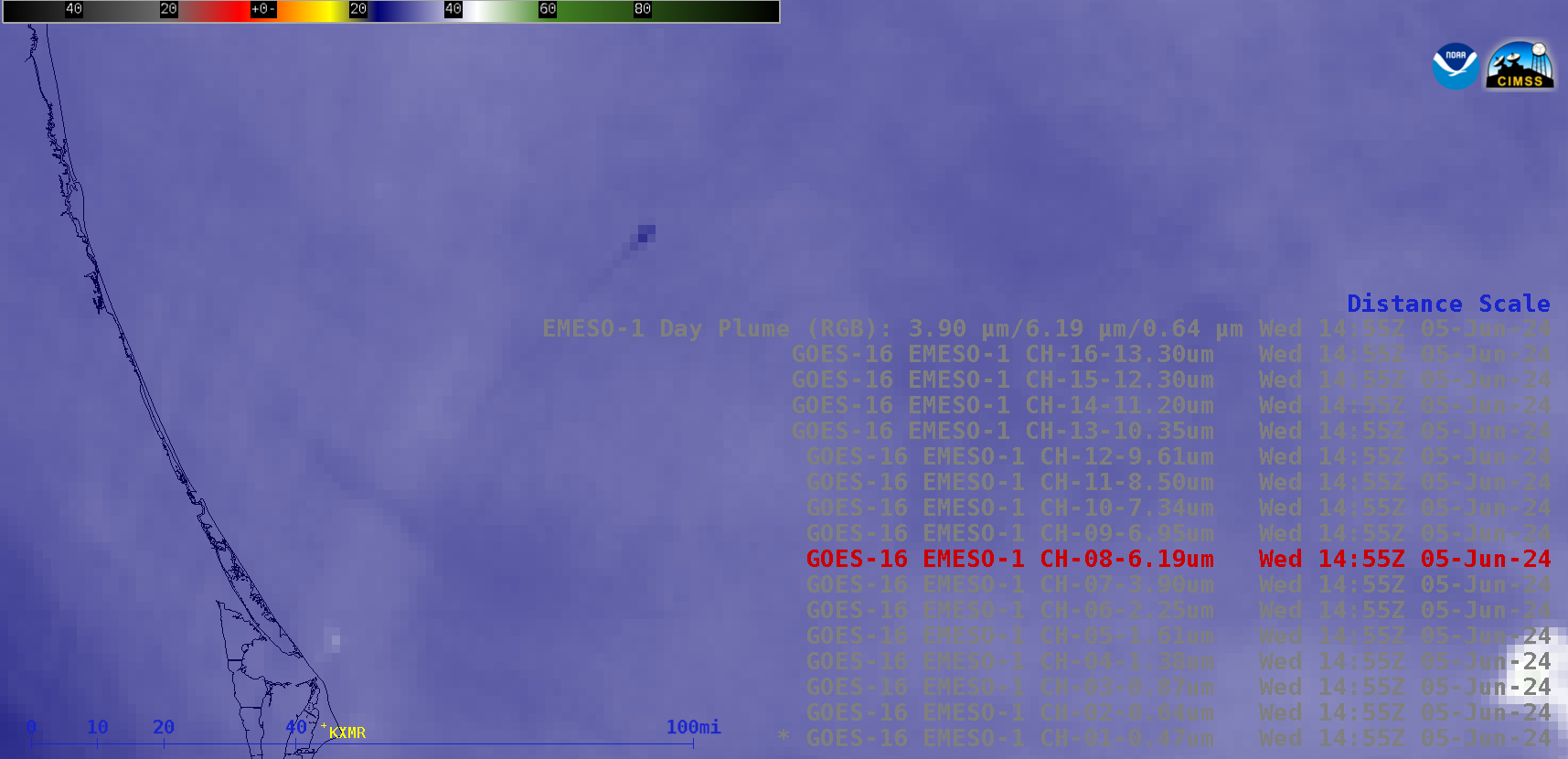
30-second Mesoscale Domain Sector GOES-16 (GOES-East) images from all 16 of the ABI spectral bands along with a Rocket Plume RGB (above) displayed signatures of a Boeing Starliner’s Atlas V rocket booster that was launched from Cape Canaveral Space Force Station in Florida at 1552 UTC (11:52 AM EST) on 05 June 2024. The... Read More
