This website works best with a newer web browser such as Chrome, Firefox, Safari or Microsoft Edge. Internet Explorer is not supported by this website.

Stories by Scott Lindstrom

Flash Floods in Hawaii

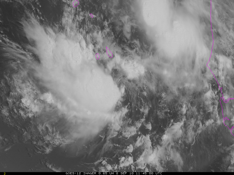
Images of MIMIC Total Precipitable Water, above, show moist air emerging from the Intertropical Convergence Zone and streaming north over the western islands of Hawaii.GOES-West water vapor imagery (the rocking animation, above) shows the circulation north of the Hawaiian islands that is drawing moisture northward. Because the water vapor channel on the Imager... Read More

Shear Instabilities over the Gulf of Alaska

Water vapor imagery from Monday 4 April 2011 over the Gulf of Alaska shows the development of what appears to be Kelvin-Helmholtz instability, an instability that occurs in regions of strong shear. In this case, the shear zone occurs within a gradient of moisture along the edge of a polar... Read More

Igor forms in the far eastern Atlantic

Tropical Storm Igor has formed in the far eastern Atlantic, just south of the Cape Verde Islands. GOES-12 imagery from today (above) shows a sheared system with persistent and abundant convection southwest of a low-level swirl of clouds. (That low-level swirl is most evident in the 1145 UTC image). Igor formed just... Read More