Mesoscale Convective Vortex (MCV) in Texas
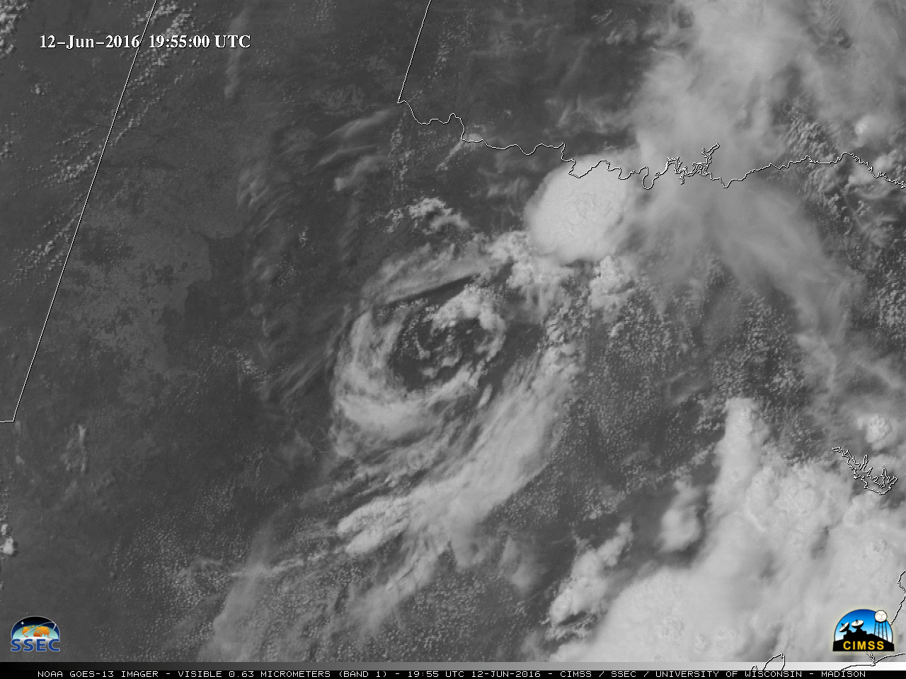
GOES-13 Infrared Window (10.7 µm) images (above) showed a large Mesoscale Convective System (MCS) that developed in far eastern New Mexico after 2000 UTC on 11 June 2016, then moved eastward and eventually southward over West Texas during the nighttime hours on 12 June. The MCS produced wind gusts to 75 mph and... Read More
