GOES-15: improved spatial resolution water vapor channel
GOES-11 6.7 µm (left) and GOES-15 6.5 µm (right) water vapor channel images (click image to play animation)
McIDAS images of 8-km resolution GOES-11 6.7 µm and 4-km resolution GOES-15 6.5 µm water vapor channel data (above) demonstrated the advantage of improved spatial resolution for the detection of features and gradients in the water vapor imagery associated with a weak upper level low moving eastward across the southwestern US on 14 September 2010. GOES-15 is scheduled to replace GOES-11 as the operational GOES-West satellite in December 2011.
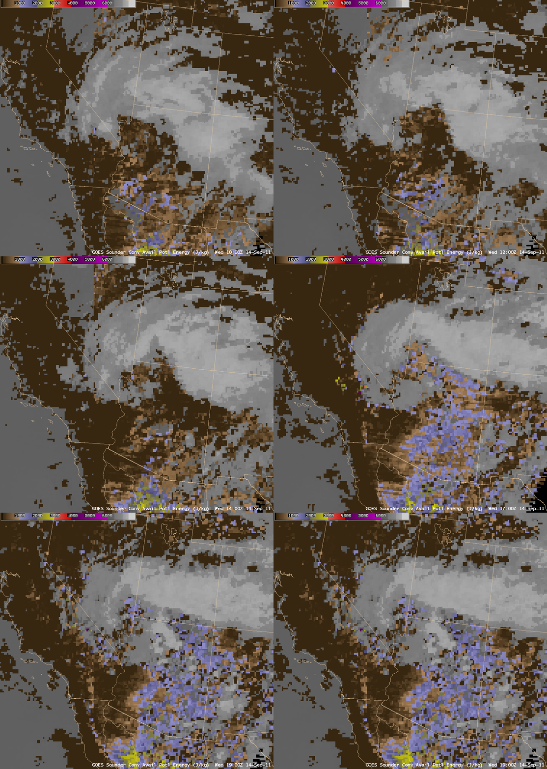
AWIPS images of the GOES-11 sounder Convective Available Potential Energy (CAPE) product (below) showed that the atmosphere was destabilizing in advance of the upper low, with CAPE values in the 1000-2000 J/kg range.
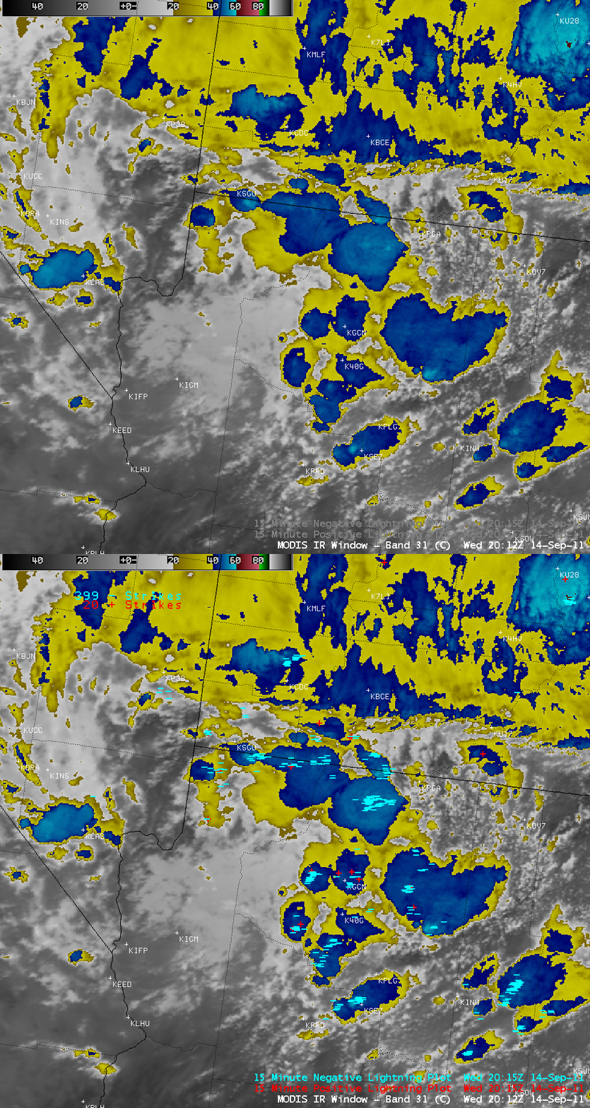
With the increasing instability and large scale lift ahead of the upper low, areas of thunderstorms developed over parts of Nevada, Arizona, and Utah, as seen on a MODIS 11.0 µm IR image with an overlay of cloud-to-ground lightning strikes (below). About an hour after the time of the MODIS image, one of these storms produced 1.0-inch diameter hail that covered the ground near Munds in northern Arizona (SPC storm reports).
CIMSS participation in GOES-R Proving Ground activities includes making a variety of MODIS and additional GOES Sounder images and products available for National Weather Service offices to add to their local AWIPS workstations. Currently there are 49 NWS offices receiving MODIS imagery and products from CIMSS.


