Using MODIS imagery to locate areas of fog/stratus in the Canadian Rocky Mountains
 image")
MODIS 0.65 µm visible channel + MODIS false-color Red/Green/Blue (RGB) image
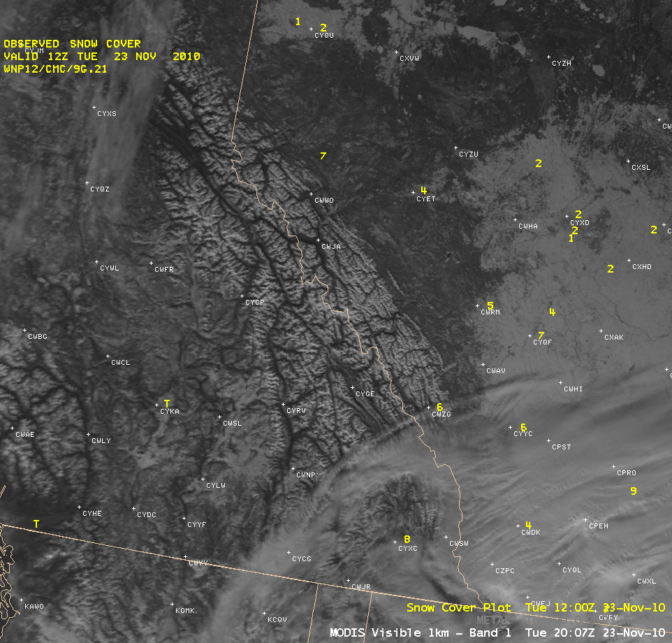
A comparison of AWIPS images of the 1-km resolution MODIS 0.65 µm “visible channel” and a corresponding MODIS false-color Red/Green/Blue (RGB) composite (created using the 0.65 µm “visible channel” and the 2.1 µm near-IR “snow/ice” channels) showed the utility of such RGB images in helping to locate areas of flog/stratus that were otherwise difficult to detect using just the standard visible imagery (above). A number of fog/stratus features (colored cyan on the RGB image) could be seen within parts of river valleys as well as in some of the higher terrain of British Columbia, Canada on 23 November 2010.
Farther to the east in the province of Alberta, note the appearance on the MODIS visible image of brighter white snow cover across the Prairies (which covered much of the eastern third of the image scene), in contrast to the darker areas immediately to the north and to the west of the brighter snow cover. A comparison with the 1-km resolution MODIS Normalized Difference Vegetation Index (NDVI) product (below) indicated that the darker features were actually more densely forested — and the presence of more trees made those areas appear darker on the visible image, even though the depth of snow on the ground was about the same in both areas.

MODIS 0.65 µm visible channel image + MODIS Normalized Difference Vegetation Index product