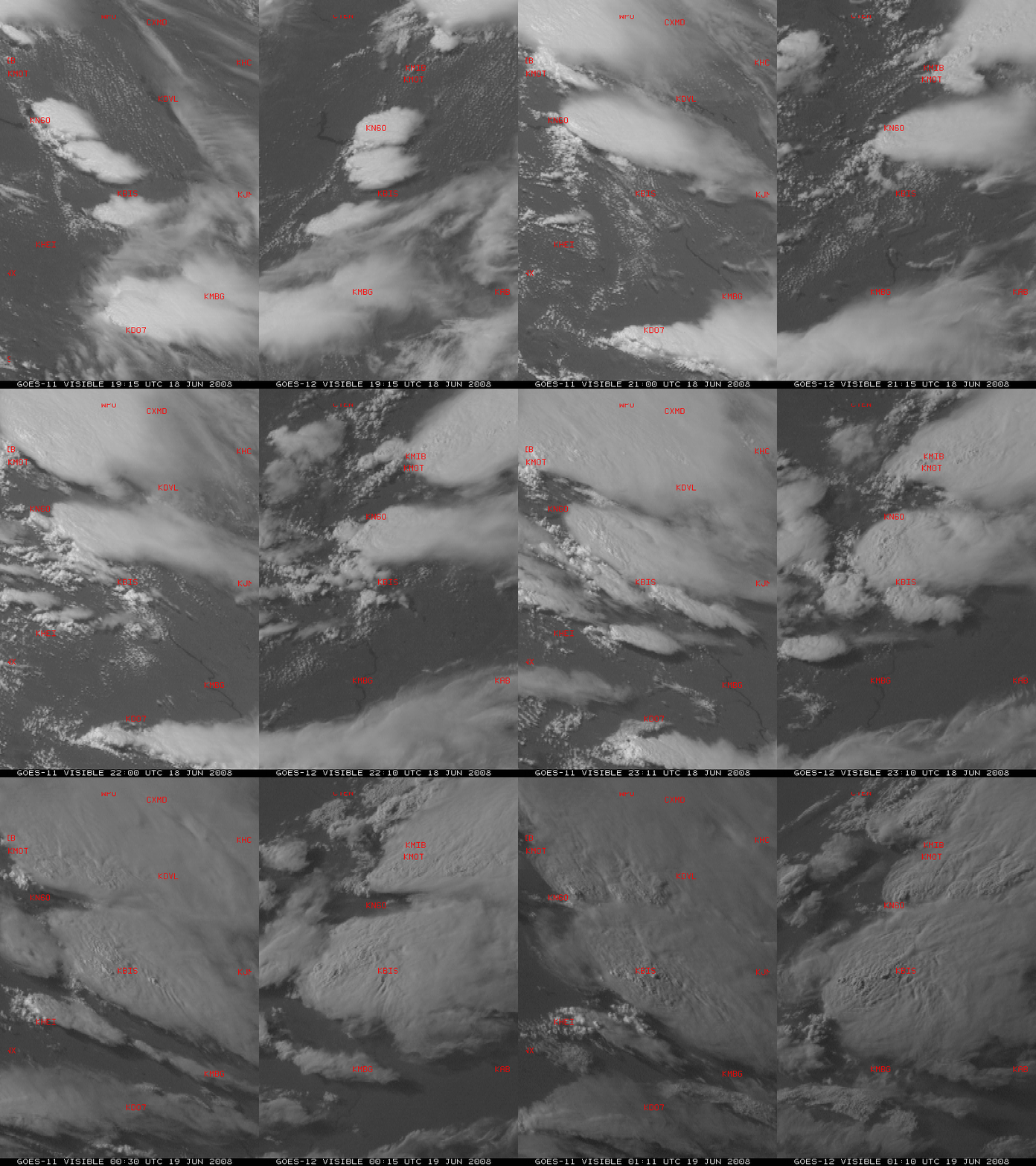
GOES-11 and GOES-12 in Rapid Scan Operations
Both GOES-11 (GOES-West) and GOES-12 (GOES-East) were placed into Rapid Scan Operations (RSO) during the afternoon and early evening on 18 June 2008, to monitor the development of severe thunderstorms across the central US (SPC storm reports). In RSO mode, images are available at 5-7 minute intervals (instead of the usual 15 minute intervals for standard operations) — however, the RSO image times are not exactly the same for GOES-11 and GOES-12. A side-by-side comparison of GOES-11 and GOES-12 visible channel images centered on Bismarck, North Dakota (above) showed the formation and intensification of thunderstorms that produced hail as large as 2.75 inches in diameter at 22:48 UTC and 4.25 inches in diameter at 00:22 UTC (both times at a location between Bismarck KBIS and Garrison KN60), and a tornado around 00:25 UTC (just west of Bismarck KBIS). Both the GOES-11 and GOES-12 images are displayed in their native satellite projections, so the cloud features (and the area shown) appear a bit different due to the differing satellite viewing angles.


