Smog with light winds over Kyushu
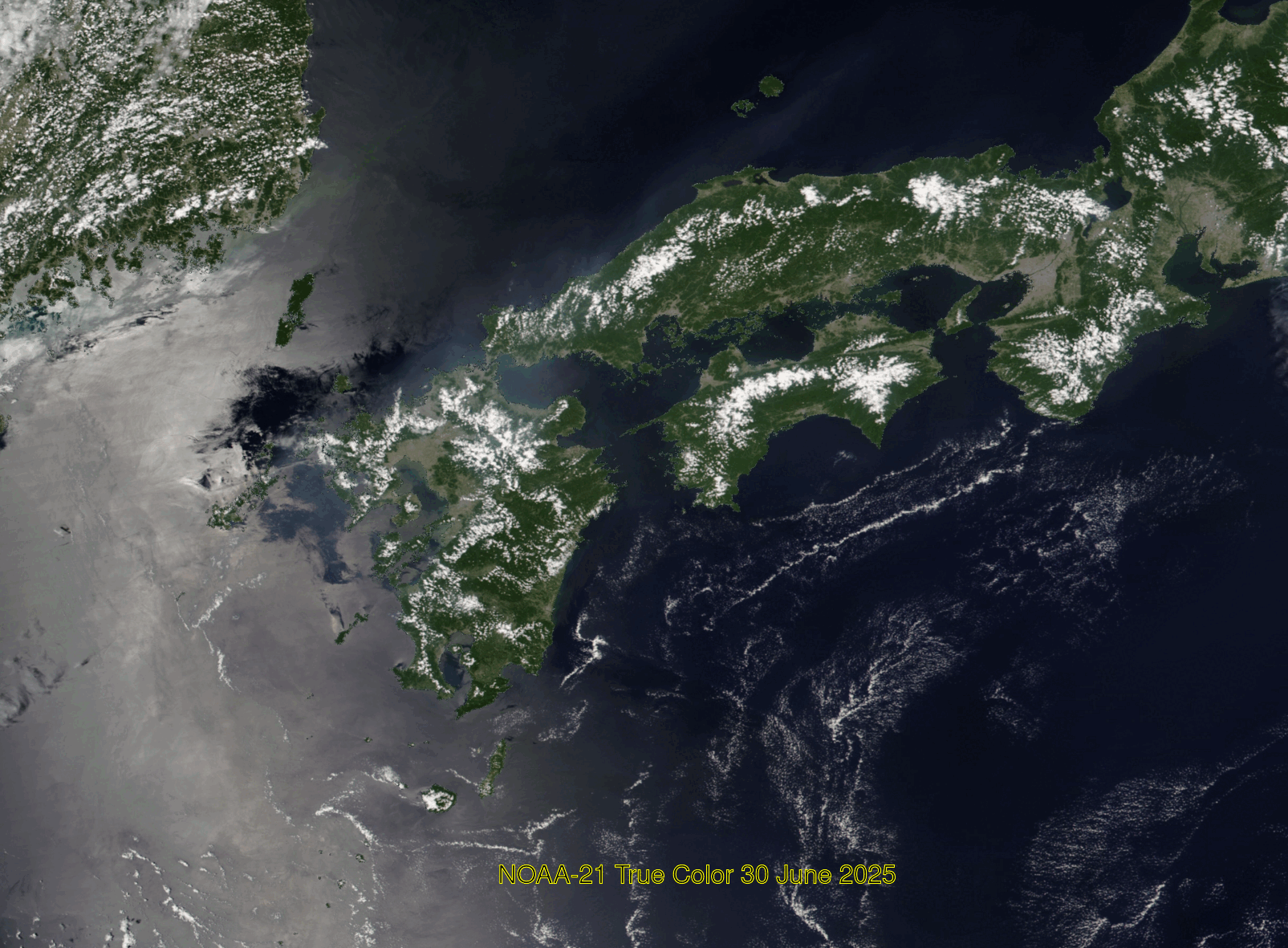
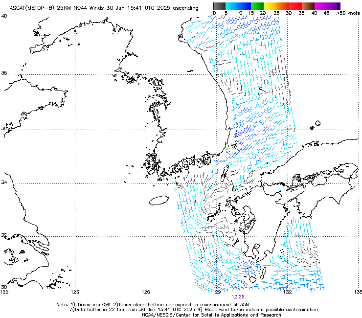
True Color imagery over western Japan, above, from three JPSS Satellites (from the NASA Worldview site) show a region with a hazy signature that appears to originate over Kyushu’s main cities of Kumamoto and Fukuoka. Winds at this time are relatively light, as evidenced by the NOAA-21 image, shown below, that includes a dark region within the sun glint (see this blog post for another discussion of diagnosing light winds within areas of sun glint).

Advanced Scattermeter (ASCAT) data from a fortuitous overpass from Metop-B (source), shown below, confirms the region of very light winds around Kyushu.
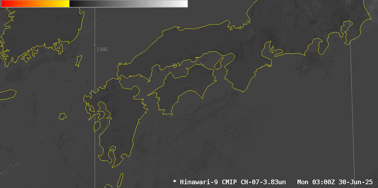
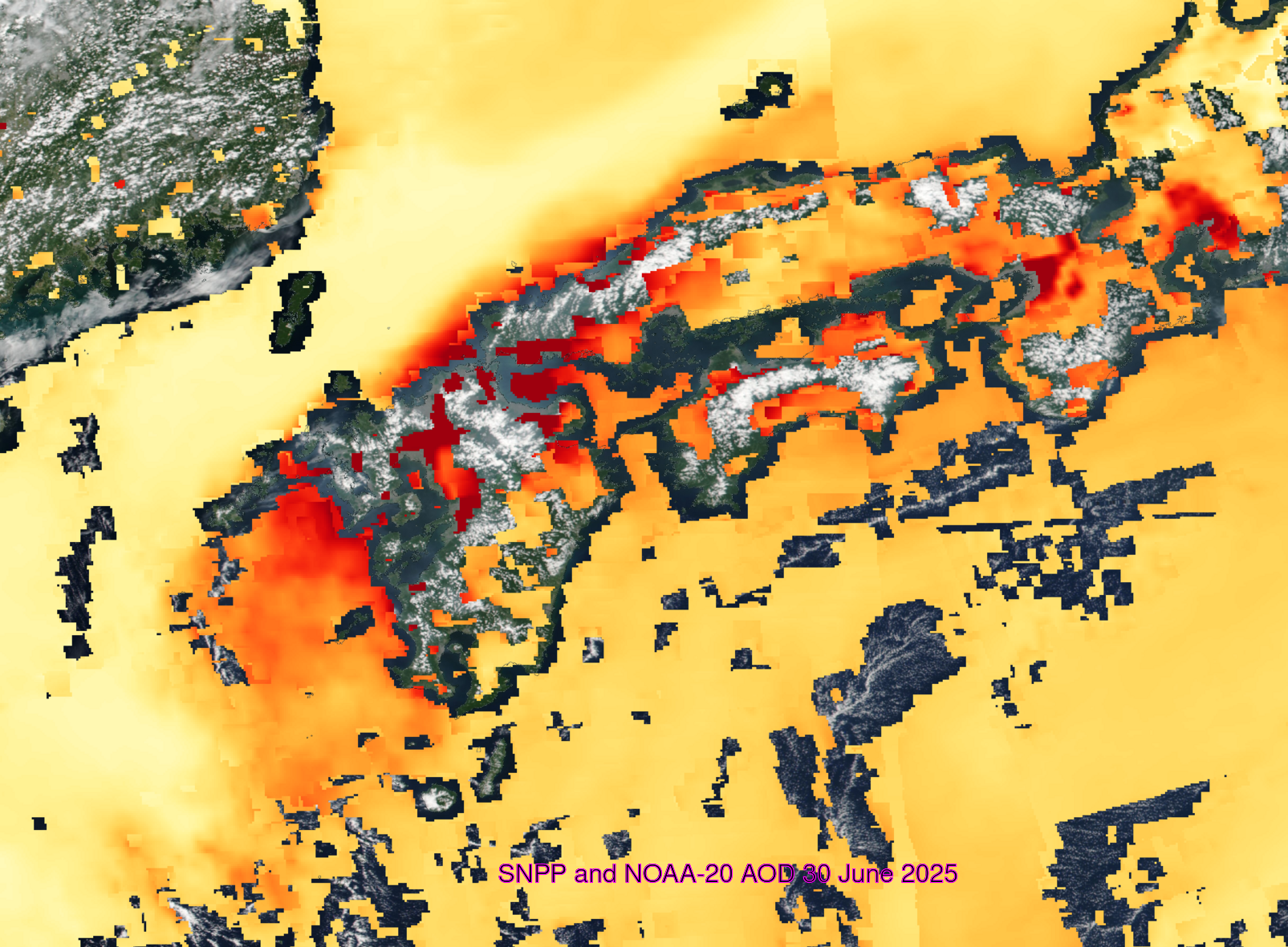
Aerosol Optical Depth (scaled from 0-5) computed from Suomi NPP and NOAA-20 is shown below. The haze does not appear to be from active fires based on this animation of shortwave infrared imagery from Himawari-9.
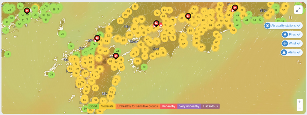
Air Quality Indices, below, (from this site), show the worst near-surface Air Quality over southern Kyushu. This is a good reminder that satellite detection of AOD views the entire atmosphere — to get the best description of Air Quality, use both surface and satellite detection.
Editor’s Note: This is my last contribution to the CIMSS Satellite Blog, as I am retiring today after 30 years (plus 1 month, a week and a day) with the University of Wisconsin-Madison. It has been a great honor to talk about beautiful and informative satellite imagery in this space, starting in 2006 with this blog post on Parallax. I hope my writings (1) have been helpful and (2) have been accurate. It’s honestly the best job I could imagine having!