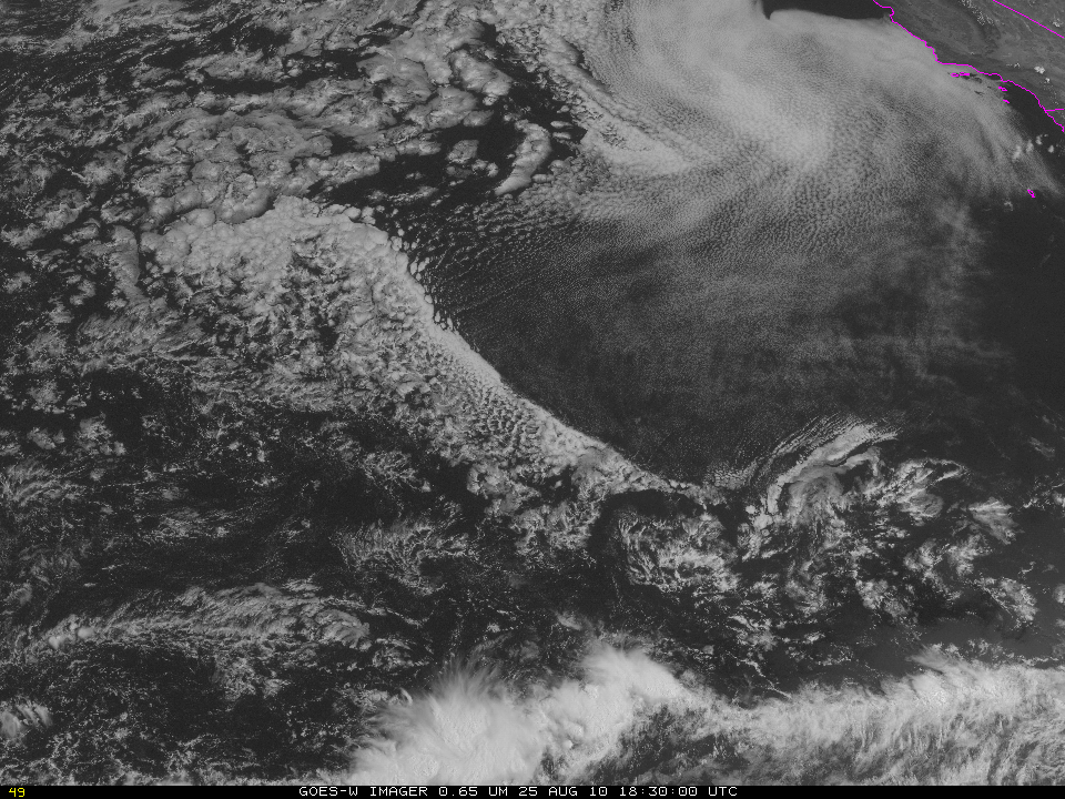
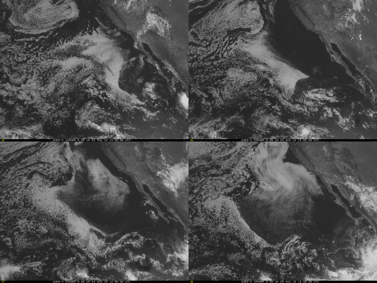
Long-lived low cloud edge over the Eastern Pacific Ocean
Visible and infrared GOES-11 imagery over the eastern Pacific Ocean have indicated a persistent southwestward-moving cloud edge during the past several days. The visible image, above, from 1830 UTC on 25 August, shows a distinct cloud edge arcing from northwest to southeast. What is the history of this feature? The visible imagery loop below, showing 1800 UTC images over the course of 4 days, show that the feature likely has its roots in dry air exiting the North American continent. A loop of 11-micron imagery from GOES-11 every two hours (here) shows the steady progression of the feature, and the persistent sharpness of the edge. Brightness temperatures of the clouds are steady near 287-288 K; brightness temperatures in the clear region are 290-291 K.


