Heavy snow in South Dakota and Minnesota
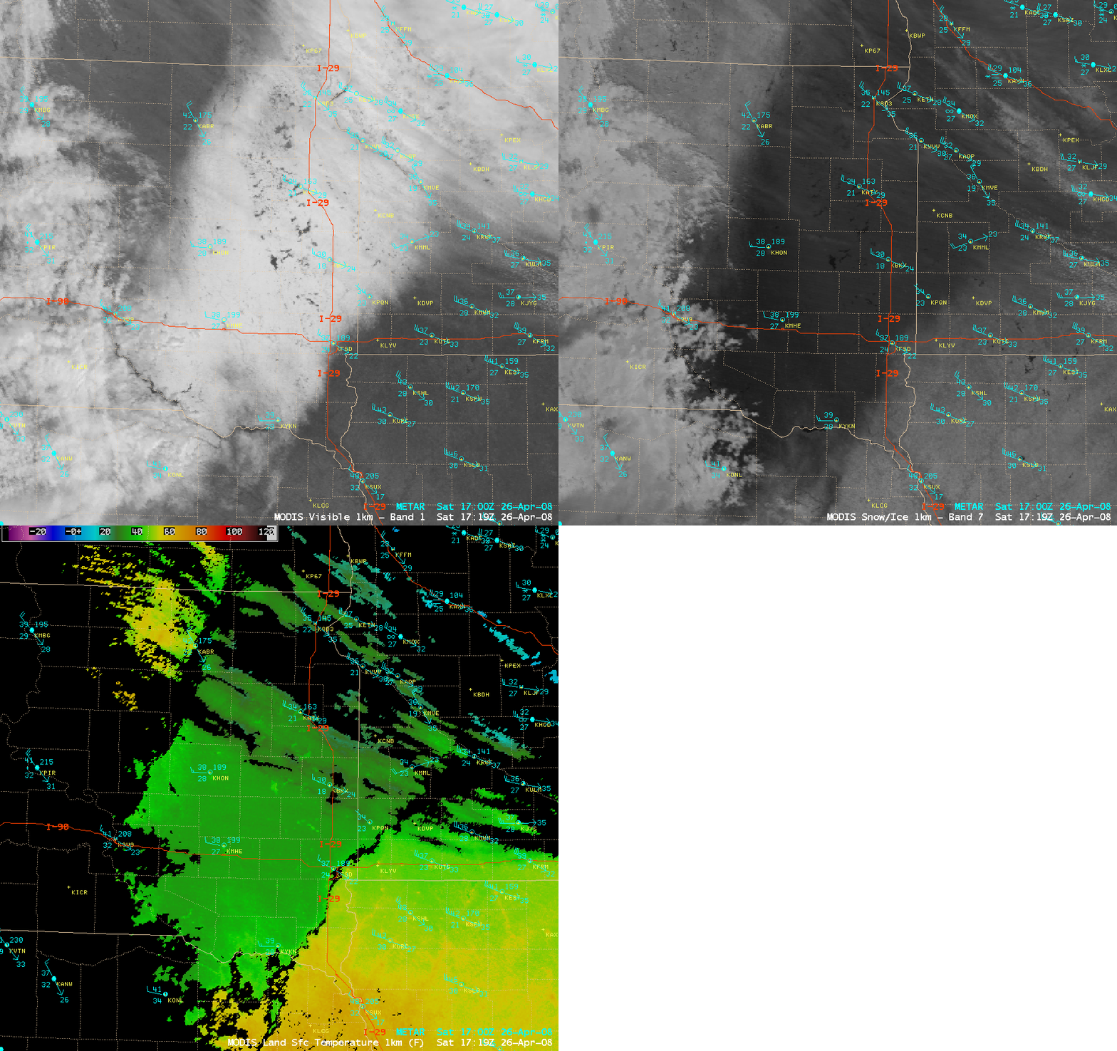
AWIPS images of the MODIS visible channel, 1.6 µm near-IR “snow/ice” channel, and Land Surface Temperature (LST) product (above) depicted a broad swath of heavy snow on the ground across parts of eastern South Dakota and western Minnesota on 26 April 2008. Snowfall amounts included 19.0 inches at Watertown, South Dakota (which set an all-time record for 24-hour snowfall accumulation there) and 15.5 inches at Brandon, Minnesota. On the MODIS visible image, the unfrozen lakes stand out as dark features against the bright white snow-covered ground; the snow cover appears very dark on the MODIS snow/ice image (since snow is a very strong absorber at the 1.6 µm wavelength), in contrast to supercooled water droplet clouds which appear as varying shades of white. Note how the MODIS Land Surface Temperature values within the snow swath were in the 30-40º F range (green colors), compared to much warmer LST values of 50-60º F (yellow to orange colors) over the bare ground regions on either side of the deep snow cover. The MODIS LST product gives an indication of the temperature of the actual land surface (or “skin temperature”), which can be several degrees different than the air temperatures measured in instrument shelters located about 5 feet above ground level.
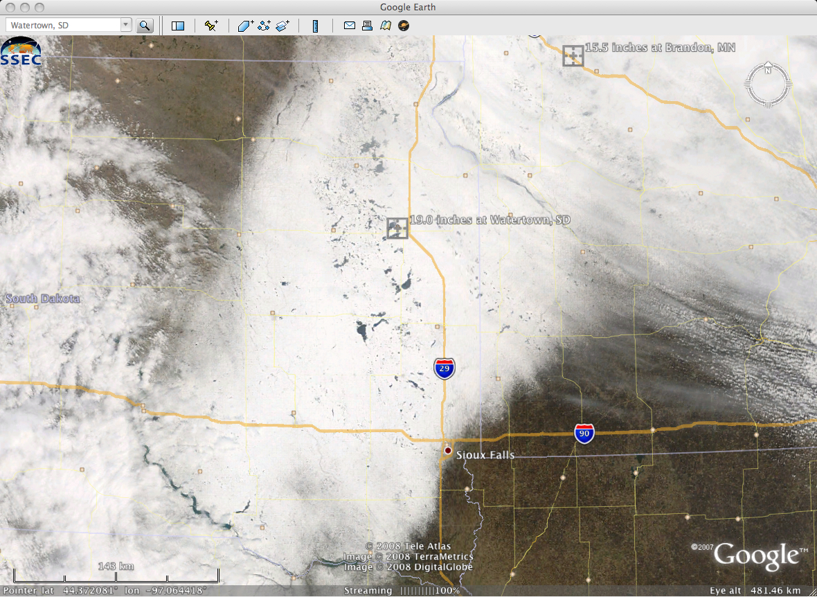
A MODIS true color image from the SSEC MODIS Today site (below, viewed using Google Earth) further demonstrated the large contrast between the significant snow cover and the surrounding bare ground. According to the National Weather Service forecast office at Sioux Falls, a Trough of Warm Air Aloft (TROWAL) contributed to the heavy snow event (which forced Interstate 29 to be closed from Brookings – about 50 miles north of Sioux Falls – all the way to the North Dakota border).


