Comparisons of 1-minute GOES-16 and GOES-19 imagery during a severe weather outbreak
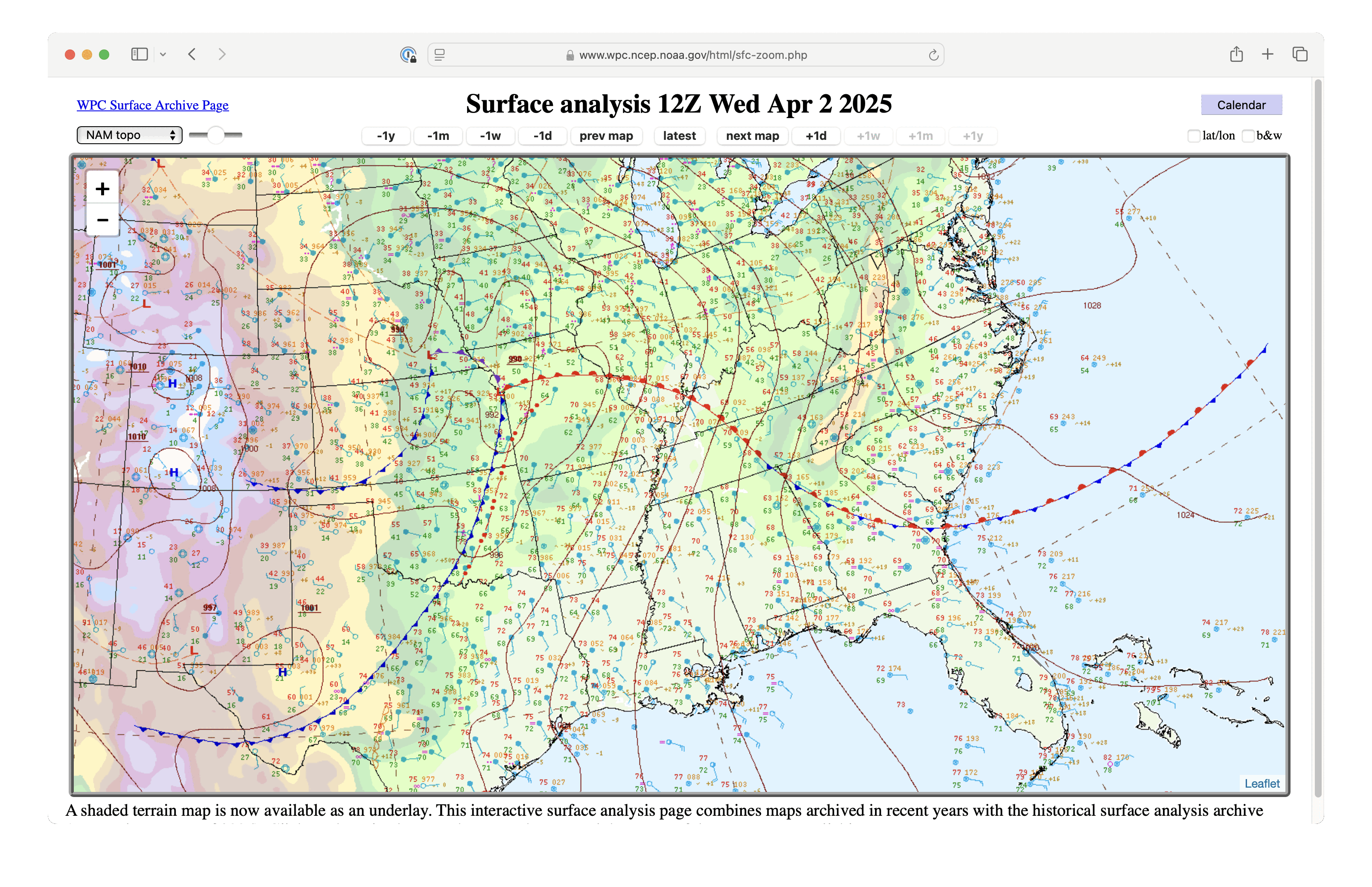
On a rare High Risk Convective Outlook day, a widespread outbreak of severe thunderstorms produced tornadoes, large hail and damaging winds (SPC Storm Reports) across a large swath of the central and eastern US during the afternoon and subsequent nighttime hours on 02 April 2025 — along and ahead of a cold front and pre-frontal squall line (surface analyses). As mentioned in this blog post, GOES-19 had arrived at the GOES-East position (over the Equator at 75.2ºW Longitude) and had begun broadcasting data — which presented an opportunity for a GOES-16 (the current operational GOES-East) vs. GOES-19 comparison during this severe weather outbreak.
There was some overlap of Mesoscale Domain Sector 2 from both satellites (below) — the 1-minute GOES images included plots of time-matched (+/- 3 minutes) SPC Storm Reports (T=Tornado, TEF2=Tornado rated at EF2 damage, H275=Hail of 2.75″ in diameter, W=Wind damage, W90=Wind gust of 90 mph).

1-minute GOES-16 (left) and GOES-19 (right) Infrared Window (10.3 µm) images, with time-matched (+/- 3 minutes) SPC Storm Reports plotted in cyan [click to play animated GIF | MP4
Central Illinois Tornadoes/Hail/Damaging Winds

1-minute GOES-16 (left) and GOES-19 (right) Red Visible (0.64 µm) images centered over central Illinois, with time-matched (+/- 3 minutes) SPC Storm Reports plotted in red [click to play animated GIF | MP4]

1-minute GOES-16 (left) and GOES-19 (right) Infrared Window (10.3 µm) images centered over central Illinois, with time-matched (+/- 3 minutes) SPC Storm Reports plotted in cyan [click to play animated GIF | MP4]

1-minute GOES-16 (left) and GOES-19 (right) Infrared Window (10.3 µm) images centered over the Missouri/Kentucky/Tennessee border, with time-matched (+/- 3 minutes) SPC Storm Reports plotted in cyan [click to play animated GIF | MP4]
Indiana Tornadoes/Damaging Winds

1-minute GOES-16 (left) and GOES-19 (right) Infrared Window (10.3 µm) images centered over Indiana, with time-matched (+/- 3 minutes) SPC Storm Reports plotted in cyan [click to play animated GIF | MP4]
Tennessee/Mississippi Tornadoes

1-minute GOES-16 (left) and GOES-19 (right) Infrared Window (10.3 µm) images centered over western Tennessee, with time-matched (+/- 3 minutes) SPC Storm Reports plotted in cyan [click to play animated GIF | MP4]