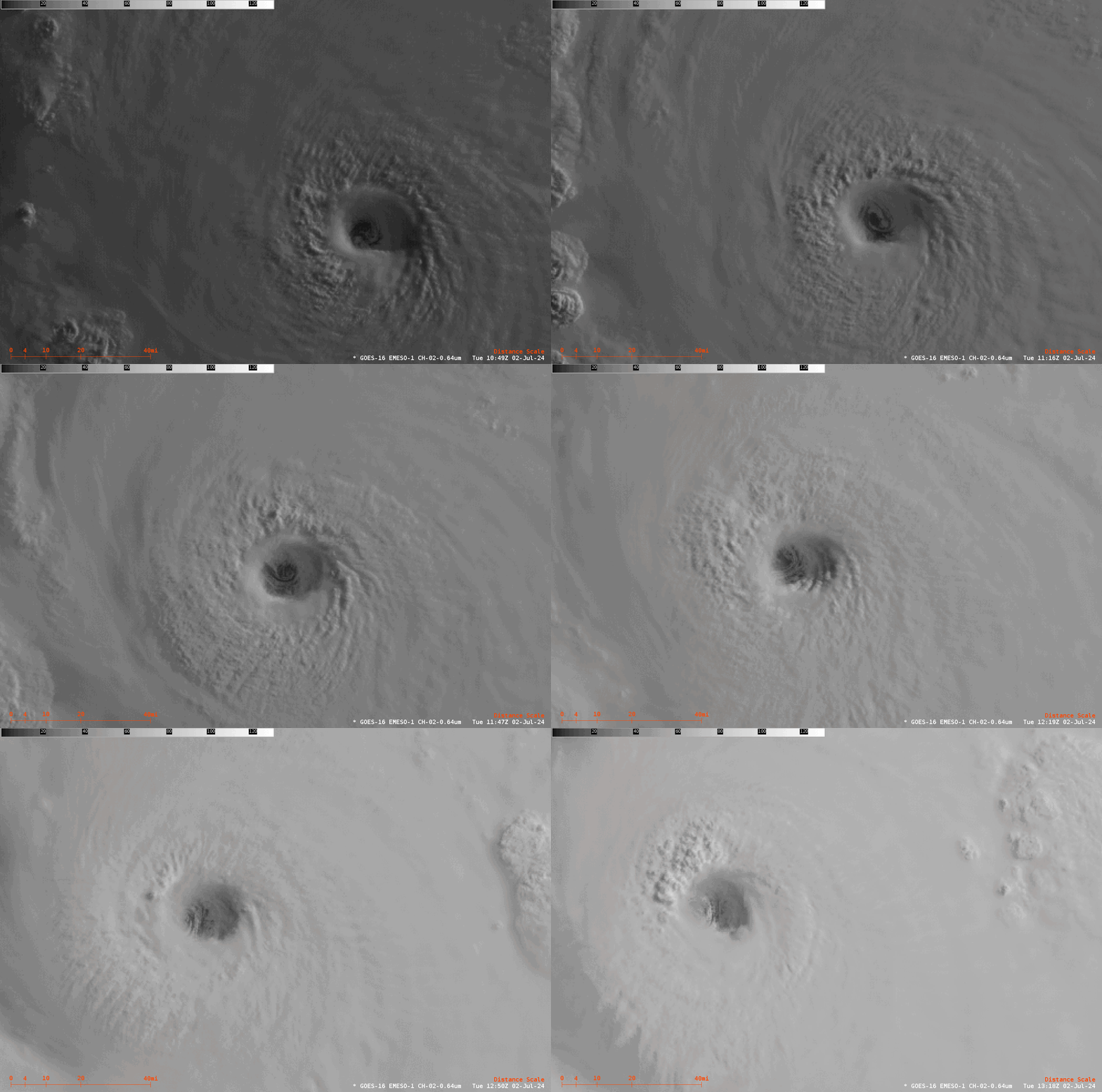
Hurricane Beryl in the central Caribbean as a Category 5 storm

GOES-16 1-minute imagery over Hurricane Beryl, above, shows the Category 5 (on the Saffir-Simpson scale) storm moving across the central Caribbean to the south of Puerto Rico. At the beginning of the animation the cold cloud tops are distributed symmetrically around the storm; by the end of the animation, some erosion of the cloud canopy is apparent along the western edge of the storm, although the eye structure appears unchanged.
GLM Flash Extent Density observations (scaled from 0-64) over the storm, below (regrettably only plotted over the northern half of the storm that sits within the GOES-16 CONUS domain), show active lightning within the eyewall, a hallmark of a very strong storm.

Zoomed-in visible imagery over the eye, below, shows the intricate cloud patterns with the eye.

The National Hurricane Center has more information on this dangerous storm. You can also find diagnostics over the storm at SSEC/CIMSS Tropical Weather Website.

